angie goff
@OhMyGOFF

NATIONWIDE GROUND STOP FOR ALL US AIRPORTS @fox5dc
 Secretary Sean Duffy
@SecDuffy
The @FAAnews issued a nationwide ground stop for all U.S. airports following a communication issue impacting all Air Route Traffic Control Centers. FAA technicians are investigating the issue. We will provide immediate updates as we have them.


 Allison Papson
 Shomari Stone
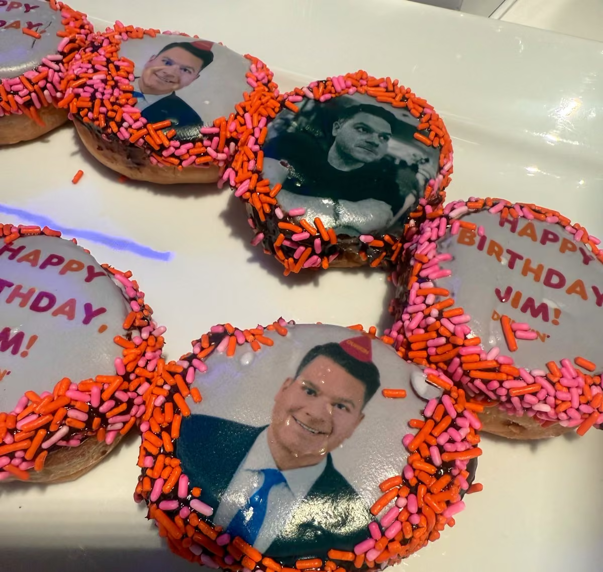
 Jim Lokay

 Mika
 CapitolPR

 dianeg


 Mike Thomas




 Georgetown Cupcake


 Tucker Barnes

 Matt Wallace


 National Mall NPS





 Elissa Salamy




 Tisha Lewis FOX 5 DC


 Kelsey Nicole Nelson (KNN)
 SportsCenter NEXT

 damo aka frank seaynatra


 Gwen Tolbart, Fox5DC

 David Kaplan


 Corey Perry
 Shirin Rajaee


 Katie Barlow











 Gene 🍊






 Kenneth Moton
 MMA Delivery


 Nana-Séntuo Bonsu





 Caitlin Roth


 Loreto Cruz III


 Ben Standig

 Lili Zheng

 Homa Bash


 Sierra Fox


 Julie Donaldson


 Tom Fitzgerald
 Steve Chenevey FOX5

 Jayden Daniels

 Chad Ricardo







 Mid western hammer
 Josh Rosenthal


 Stephanie Ramirez
 Paul McGonagle

 Matt Slusher


 Marina Marraco
 Morgan Cody




 South Carolina Football


 Jacqueline Matter


 Kevin Walling





 New York Post

 Grant Paulsen
 COMMANDERS FOOTBALL
 Chris Williams




 Brandon da Mailman





 Bob Barnard