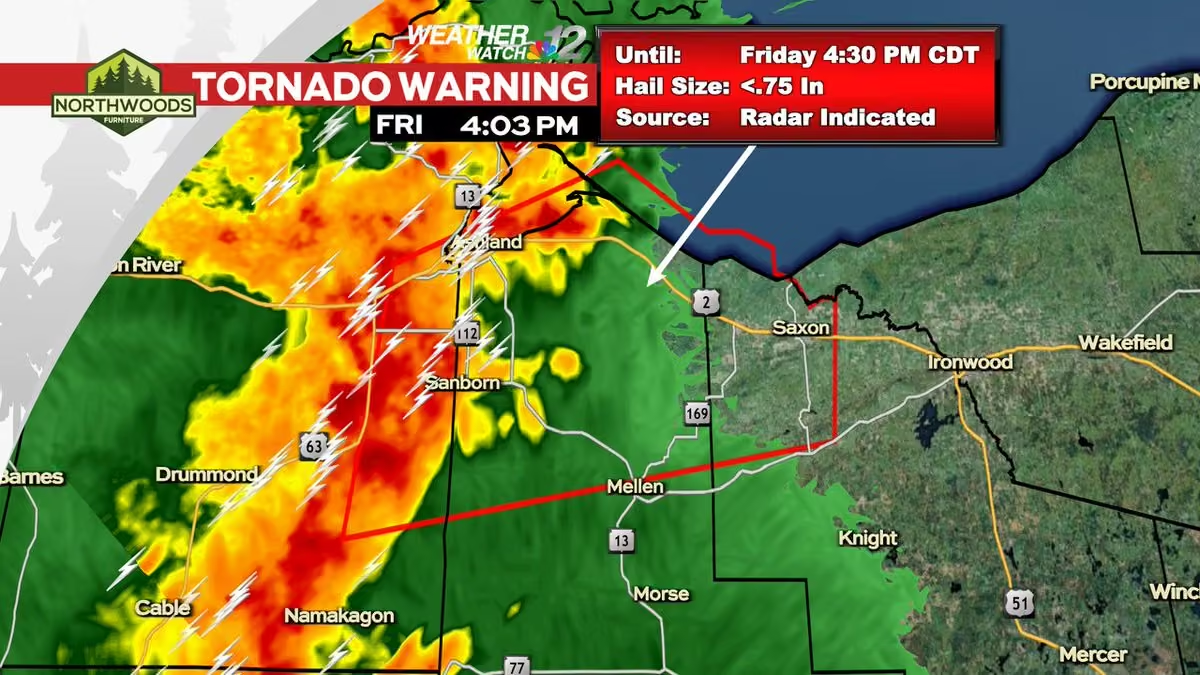
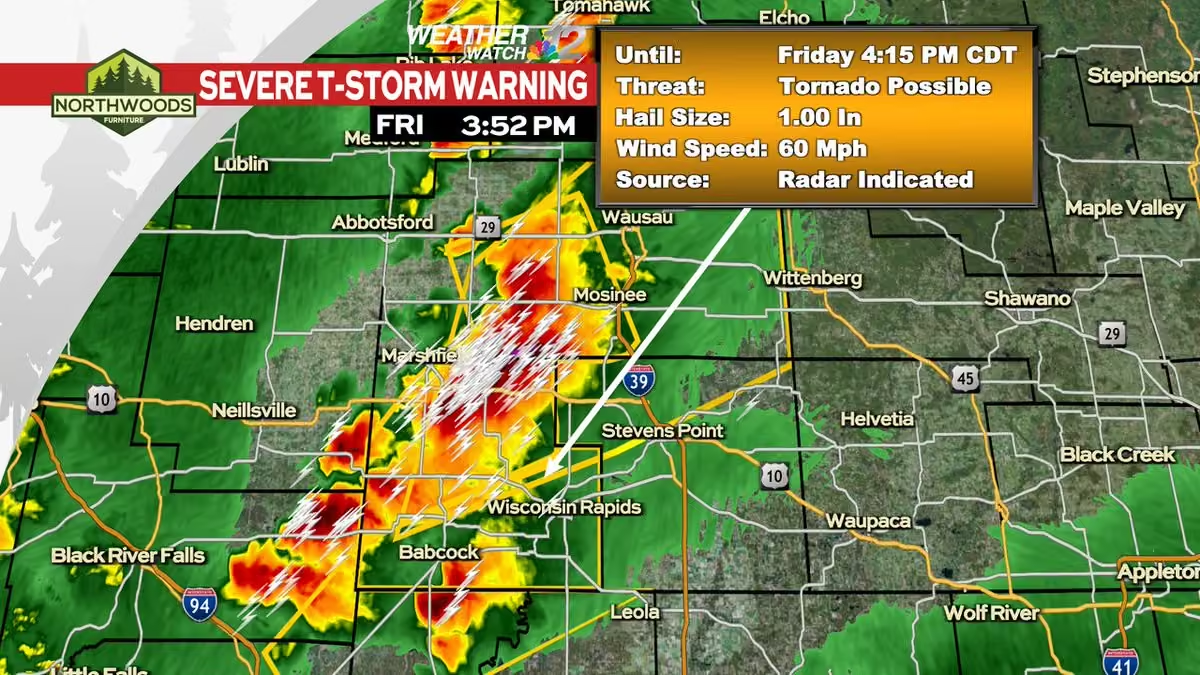
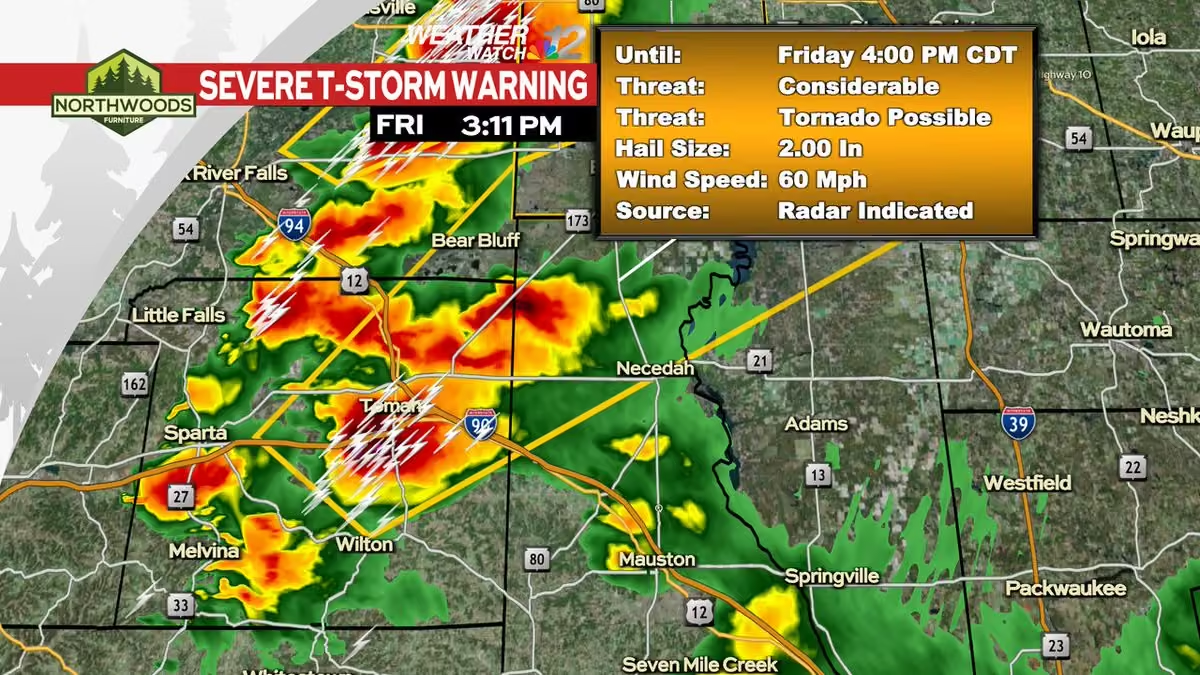
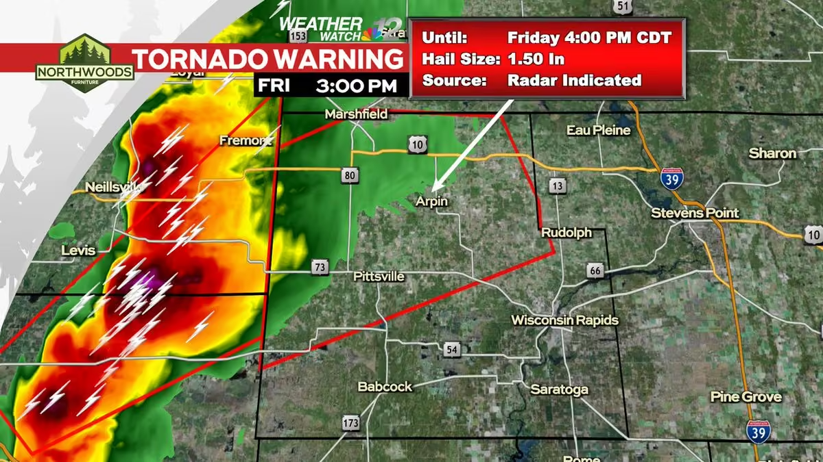
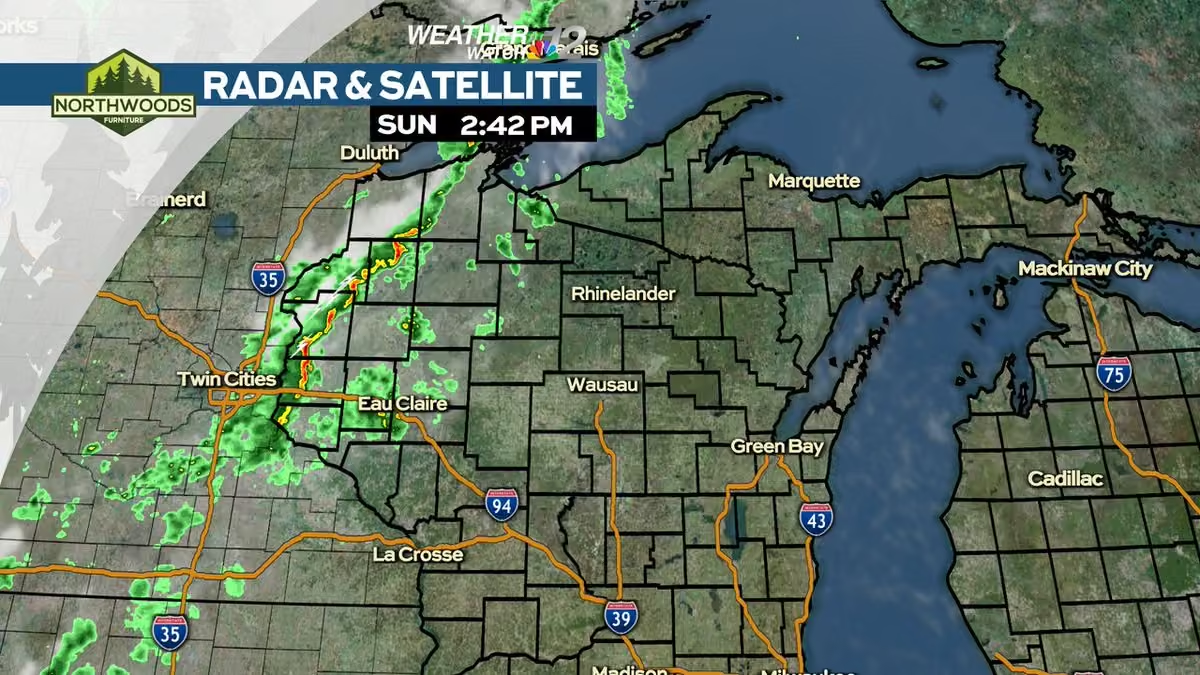
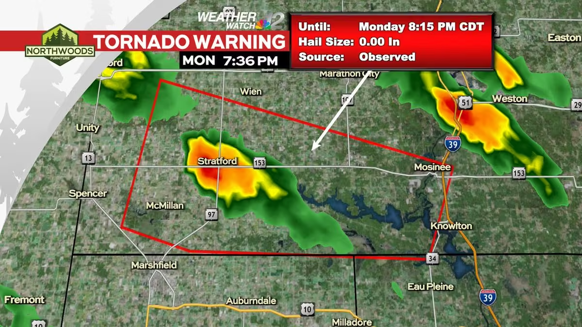
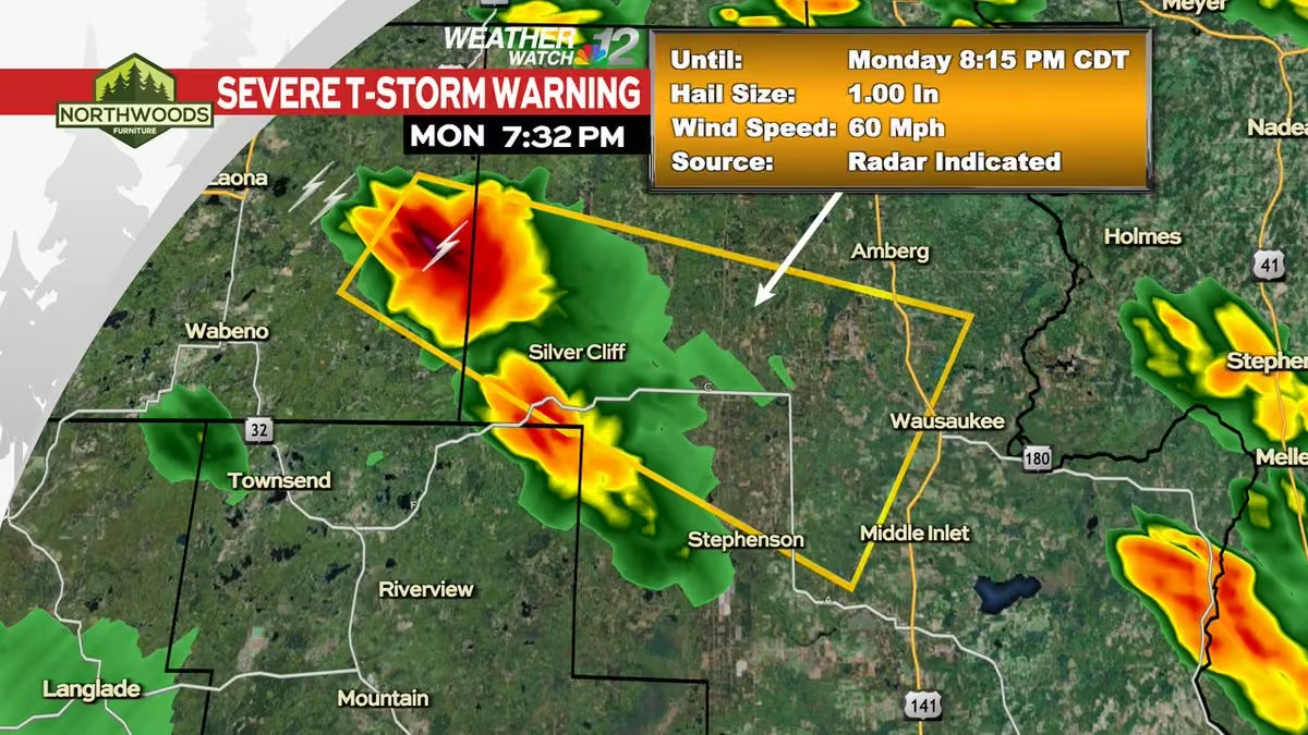
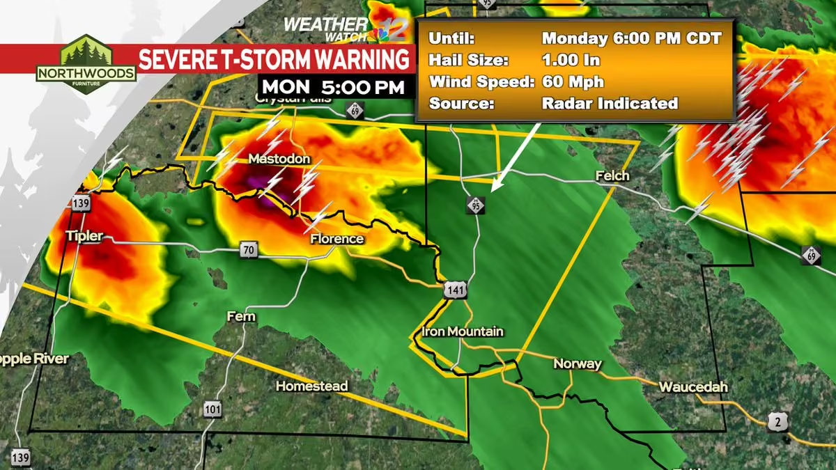
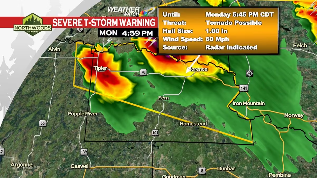
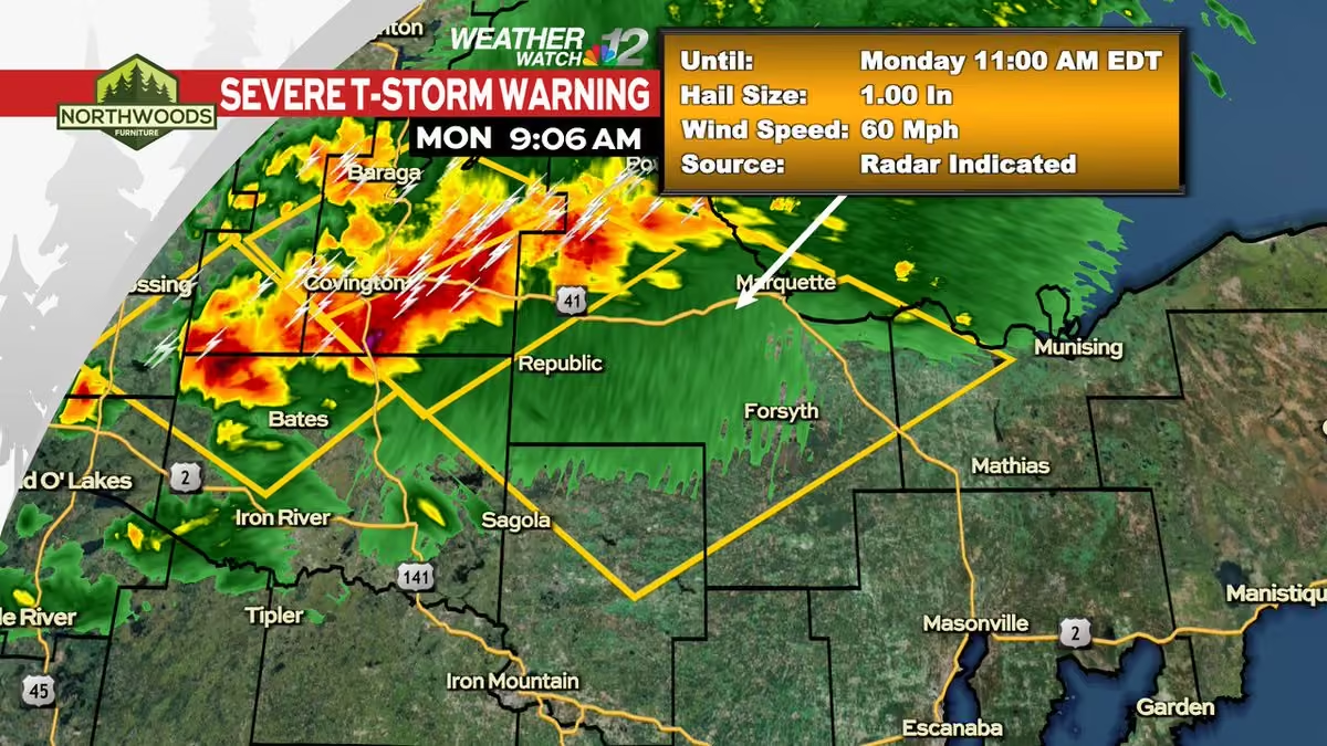
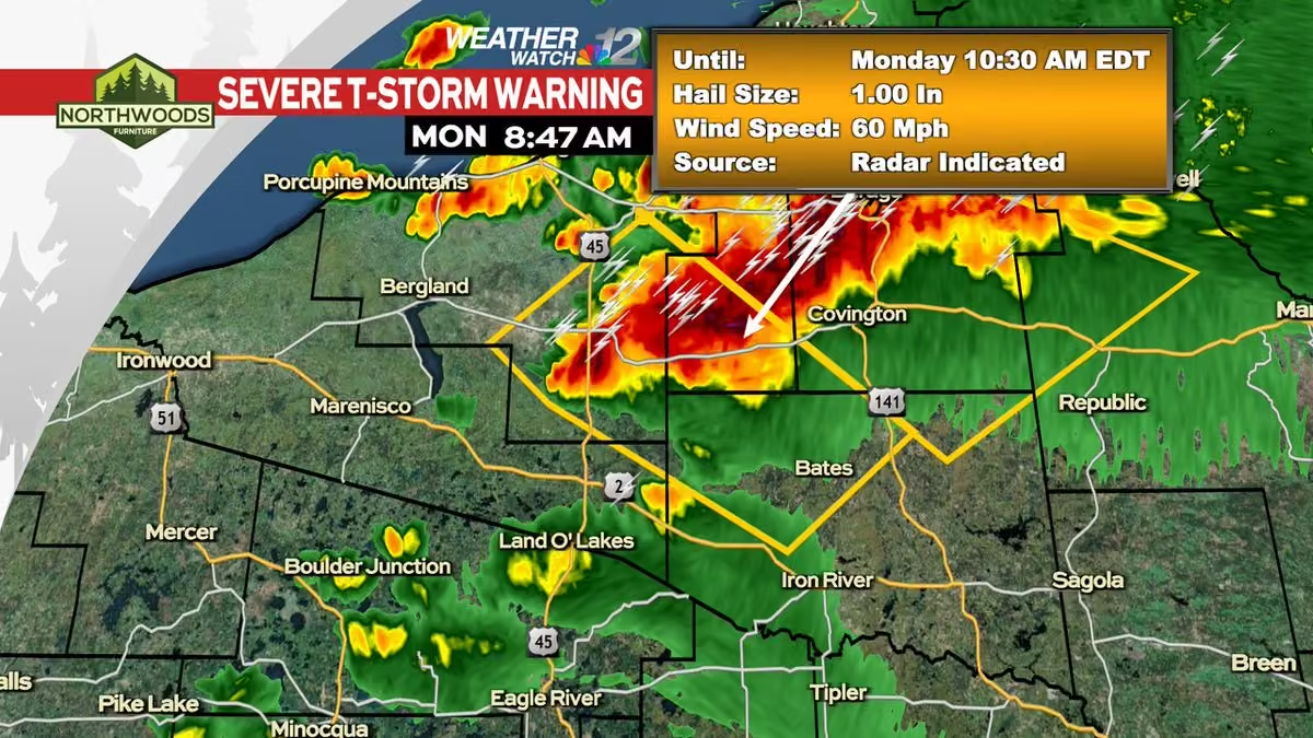
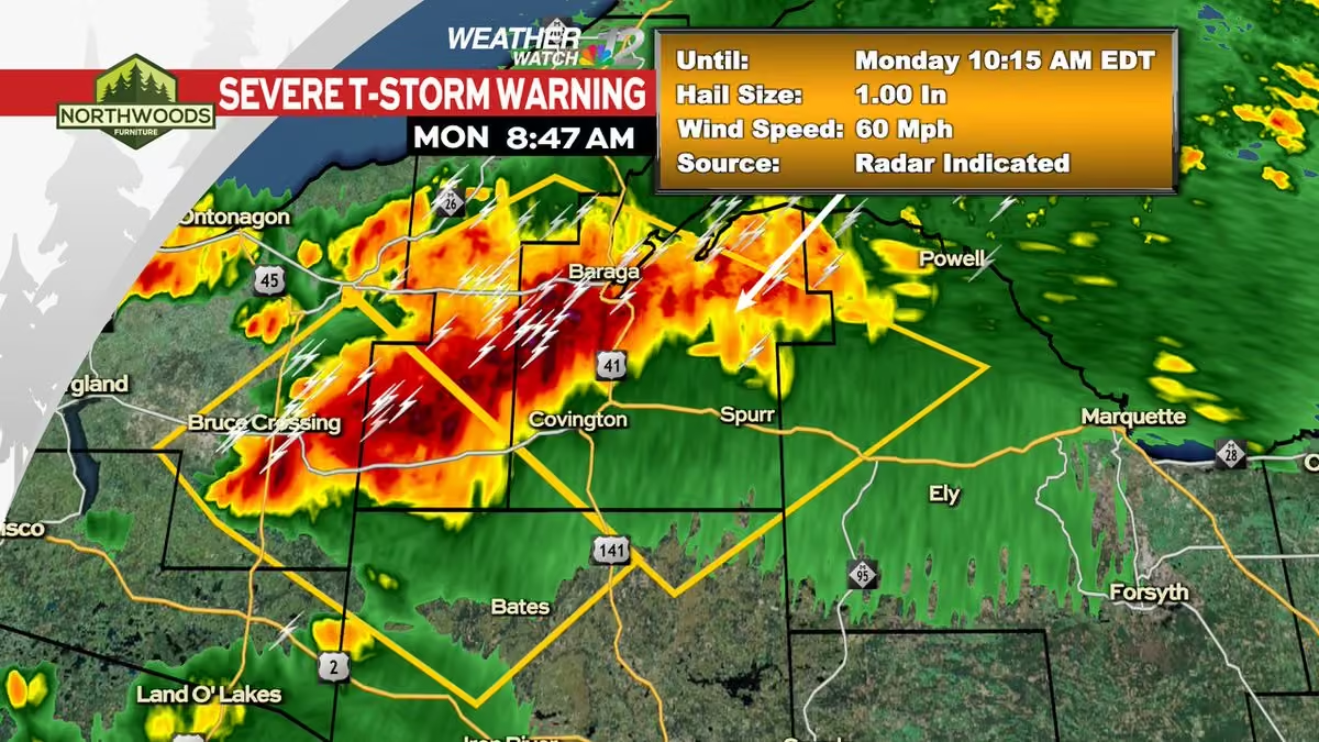
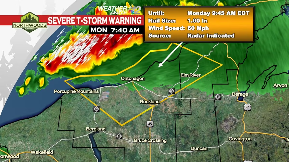
The big story today, tonight, and tomorrow is going to be the wind. Winds will gust out of the southwest at 30 mph at times. This is courtesy of a high pressure to the southeast and low pressure to the northwest. This is creating a tight pressure gradient. #wiwx
WJFW-TV
WJFW-TV (channel 12) is a television station licensed to Rhinelander, Wisconsin, United States, serving the Wausau area as an affiliate of NBC. The station is owned by Rockfleet Broadcasting and maintains studios on County Road G (along WIS 17) in Rhinelander. WJFW-TV is broadcast from a primary transmitter in Starks, Wisconsin, and translator W27AU-D on Mosinee Hill, serving the immediate Wausau area. More on Wikipedia
-
WJFW 12 reposted
Meteorologist Devin Biggs
@mtrdevinbiggs
-
WJFW 12 reposted
Meteorologist Devin Biggs
@mtrdevinbiggs
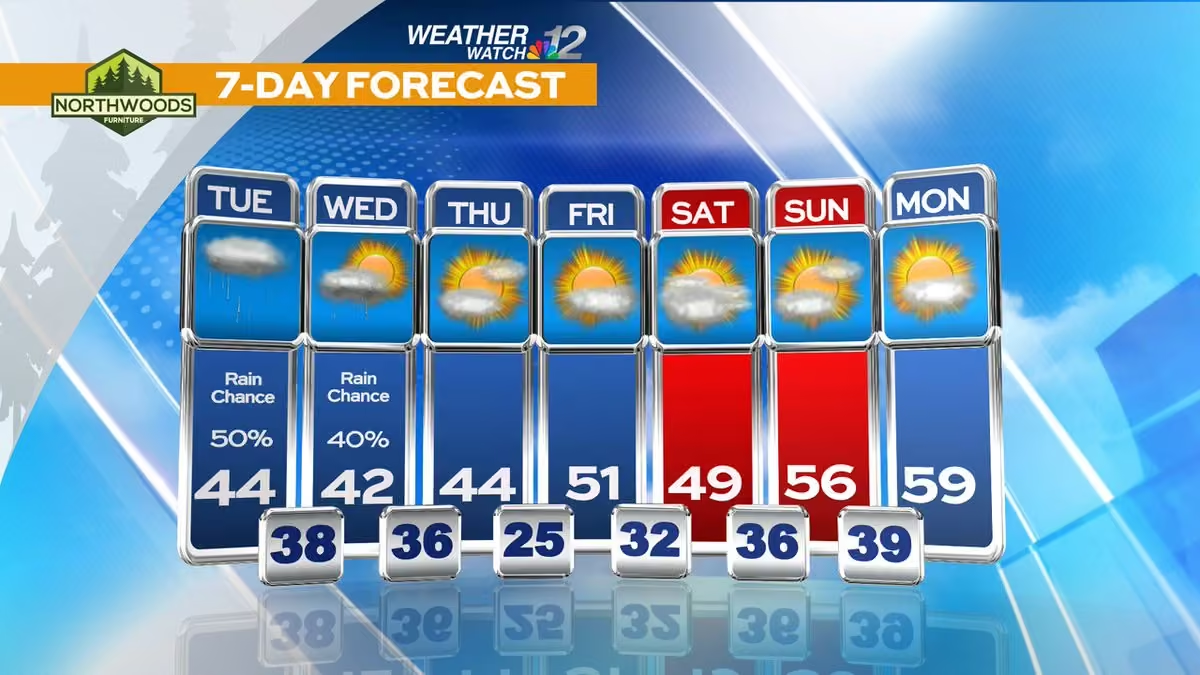
Partly cloudy today as highs reach for the upper 40s. We're dry again Tuesday and Wednesday as highs reach for the low 50s. A slight chance for rain is possible Thursday with highs in the mid 50s. More rain showers is possible Saturday before we cool off Sunday. #wiwx
-
WJFW 12 reposted
Meteorologist Devin Biggs
@mtrdevinbiggs
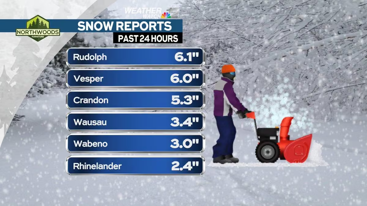
An additional 1-2 inches of snow will be possible in parts of the U.P. today as lake effect snow continues to move through. With lake temperatures in the 40s and 50s and cold winds blowing overhead, this is perfect for lake effect snow. #wiwx
-
WJFW 12 reposted
Meteorologist Devin Biggs
@mtrdevinbiggs
Lake effect snow starts up tonight and lasts all the way through Friday. The best opportunities will be along and north of Highway 8. Some areas could range from a half to even two inches in the Northwoods. The U.P. could see 1-3 inches. #wiwx
-
WJFW 12 reposted
Meteorologist Devin Biggs
@mtrdevinbiggs
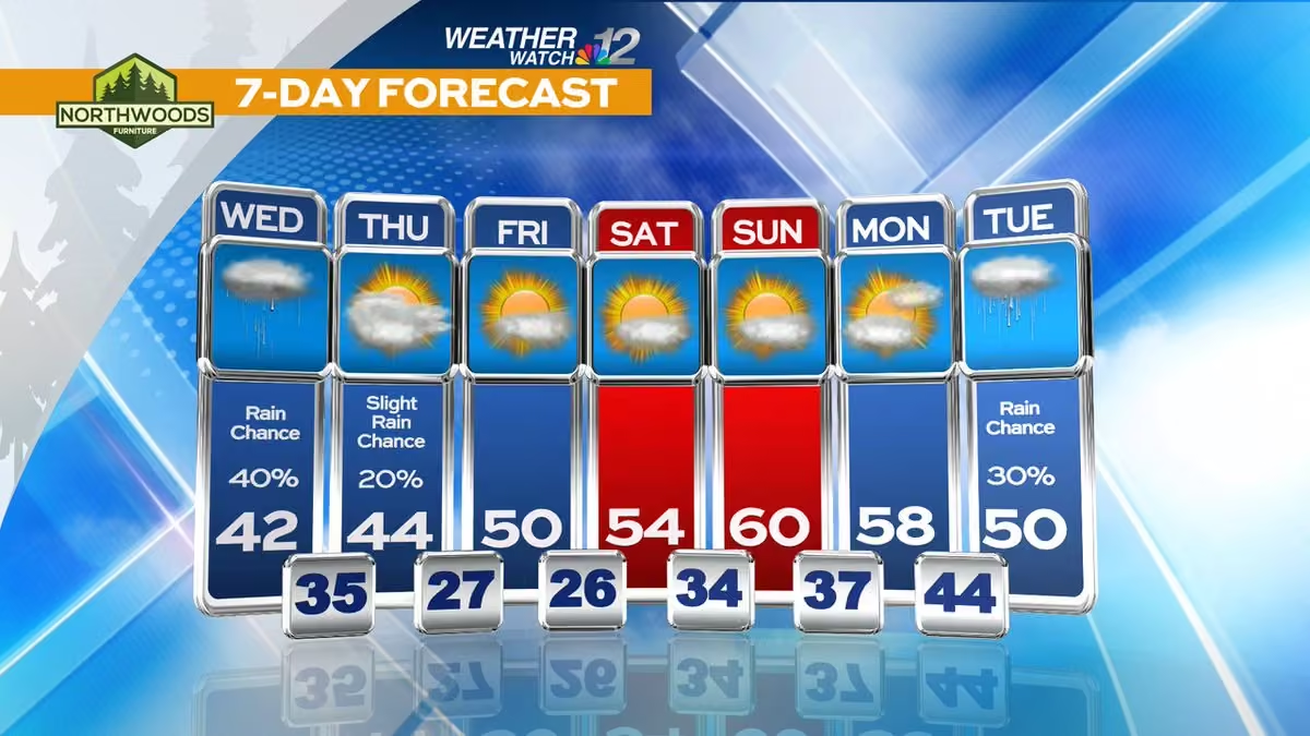
Lots of sunshine and a little breezy today with highs in the mid 50s. A little rain is possible late tonight into tomorrow morning. We'll then switch to lake effect snow flurries and snow showers Wednesday night through Friday before it wraps up. #wiwx
-
WJFW 12
@WJFW12
The plan was to eventually open up into a storefront, something that happened sooner than expected.
"...this building became available and it was the perfect little space for us to open up.” www.wjfw.com/news/local/merrill-based-mobile-bookstore-go… -
WJFW 12 reposted
Meteorologist Devin Biggs
@mtrdevinbiggs
We'll be dry today with a partly cloudy sky and highs in the low 50s. This is as a warm front passes through. Another nice day is expected Tuesday with a mostly sunny sky and highs in the mid 50s. Rain showers are expected Veterans Day with highs cooling into the mid 40s. #wiwx
-
WJFW 12
@WJFW12
Verizon’s letter to senator Baldwin has eased some concern in Oneida County, but not all of it.
"I’m very concerned with the options we have in Oneida County.” www.wjfw.com/news/regional/verizon-responds-to-sen-baldwi… -
WJFW 12 reposted
Meteorologist Devin Biggs
@mtrdevinbiggs
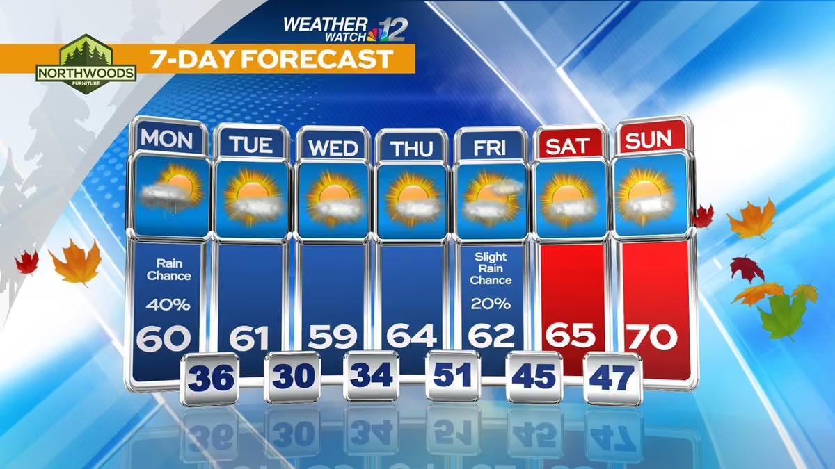
We have a beautiful stretch of days on the way. Once we get the snow flurries out of here, the clouds will break up. The entire 7-day forecast period will feature a mixture of clouds and sunshine with highs in the 40s and 50s. #wiwx
-
WJFW 12 reposted
Meteorologist Devin Biggs
@mtrdevinbiggs
Another 1-2 inches of rain is on the way between now and Wednesday night. This is wonderful news as a lot of it is expected to fall in areas that desperately need it. The rain won't be a drought buster, but it will help to make a dent in the drought. #wiwx
-
WJFW 12 reposted
Meteorologist Devin Biggs
@mtrdevinbiggs
This is a beautiful sight. More needed rain is moving into the region from the southwest. That will continue for all of today, tonight, and tomorrow before wrapping up tomorrow night. Some areas will see up to 1-2 inches of rain before the whole event is done. #wiwx
-
WJFW 12 reposted
Meteorologist Devin Biggs
@mtrdevinbiggs
Much needed rain is on the way and it begins later on today. This is as a Colorado low starts to trend in our direction. Waves of rainfall will track is all the way through Thursday before backing off Friday. Inches of rainfall will be expected. #wiwx
-
WJFW 12 reposted
Badger Beer Report
@badgerbeerhour
Family farm legacy continues through weekly pizza nights at Stoney Acres www.wjfw.com/news/local/family-farm-legacy-continues-thro… via @WJFW12
-
WJFW 12 reposted
Meteorologist Devin Biggs
@mtrdevinbiggs
It got rather cool this morning across the viewing area. Have a look at Rhinelander. The airport recorded a low temperature of 24º. Other areas saw middle to upper 20s with 30s further south. Temperatures will rise into the mid 50s today and tomorrow. #wiwx
-
WJFW 12 reposted
Meteorologist Devin Biggs
@mtrdevinbiggs
#breaking: The latest drought monitor has come out and the severe, extreme, and exceptional drought categories have worsened across central and northern Wisconsin. This comes as no surprise as we continue to struggle with lack of rainfall. Rainfall is expected next week. #wiwx
-
WJFW 12
@WJFW12
Feeling more like fall out there to start off your day today but the main story continues to be above average temperatures as we continue throughout the week. Average highs this time of year are 50°F, some of us can reach close to 20 degrees above average Wednesday afternoon.
-
WJFW 12 reposted
Meteorologist Devin Biggs
@mtrdevinbiggs
Partly cloudy today with highs well above normal in the low 70s. Mostly cloudy and becoming breezy tonight. Those winds will continue Saturday. Rain chances exist Saturday night, but will be gone by Sunday. Notice temperatures fall this weekend and also next week. #wiwx
-
WJFW 12 reposted
Meteorologist Devin Biggs
@mtrdevinbiggs
Our nice stretch of weather will be continuing today and tomorrow. We'll have some sunshine and clouds with highs reaching for the low 70s. More clouds move in Saturday. Temperatures remain nice with highs in the upper 60s. Rain chances move in Sunday through Tuesday. #wiwx
-
WJFW 12 reposted
Milwaukee Brewers
@Brewers
"Let’s get loud, let’s do this together, let’s win OUR way!"
#winourway -
WJFW 12 reposted
Spectrum News 1 Wisconsin
@SpectrumNews1WI
The roof is opening on a #worldseries in Wisconsin.
Just two more days until the #brewers face the Rays at American Family Field!
#winourway #playoffs -
WJFW 12 reposted
Meteorologist Devin Biggs
@mtrdevinbiggs
A weak cold front is passing through the area today. High pressure on each side will prevent any moisture from developing. We'll be partly cloudy today with highs in the upper 60s. Some of you will touch the low 70s. We're dry Thursday, Friday, and Saturday. #wiwx
-
WJFW 12 reposted
Hunter Baumgardt
@hunterbonair
Some footage of Brandon Woodruff facing Brewers hitters today via @MLBNetwork👇
This media couldn't be displayed. See it on the original post. -
WJFW 12 reposted
John Egan
@BrewersRaptor
It’s beautiful
-
WJFW 12
@WJFW12
The Planning Commission recommended the council deny the permit in September but this council meeting will serve as the decision for the city on PNK Group’s conditional use permit for a data center to be developed on the former Rapids mill site. www.wjfw.com/news/local/wisconsin-rapids-common-council-t…
-
WJFW 12 reposted
Meteorologist Devin Biggs
@mtrdevinbiggs
Areas of dense fog have developed across the viewing area this morning. The fog has stretched into Portage and now Marathon Counties. It will be hard to see for awhile. With the sun now up, that will help to mix the fog out of the area. #wiwx
-
WJFW 12 reposted
Meteorologist Devin Biggs
@mtrdevinbiggs
A long dry stretch of weather is on the way this week through at least Saturday. Expect a mixture of clouds and sunshine with highs overall in the 60s. Some of you could get close to the 70s on Wednesday. Our only chance for rain showers will be a small chance on Sunday. #wiwx
-
WJFW 12 reposted
-
WJFW 12 reposted
Meteorologist Devin Biggs
@mtrdevinbiggs
Winds are going to be gusty today as the rain starts to slowly taper off. Winds could gust up to 30 or even 40 mph out of the north today as low pressure tracks to the northeast. The sun will also come out as the day marches on. Waves on Lake Superior will also be high. #wiwx
-
WJFW 12 reposted
Kevin Robinson
@_KevRobinson_
The Jake Bauers no look bat flip might go down as one of the biggest moments in Milwaukee Brewers postseason history
-
WJFW 12 reposted
Meteorologist Devin Biggs
@mtrdevinbiggs
Around an inch of rainfall is expected from the entire rain event starting today and lasting through Friday. This is great news to help make a small dent in the drought here in the Northwoods. Wind gusts could range from 20-40 mph at times as low pressure passes through. #wiwx
-
WJFW 12 reposted
Meteorologist Devin Biggs
@mtrdevinbiggs
This is a positive sight to see. Much needed rainfall is on the way for northern Wisconsin. The whole Badger state will be seeing rain later today. Rain chances will be continuing tonight and into tomorrow before backing Friday afternoon. #wiwx
-
WJFW 12 reposted
Meteorologist Devin Biggs
@mtrdevinbiggs
Our average high temperature for this time of the year is 56º. We'll be around that today and tomorrow with highs in the mid 50s. We cool off Friday with highs in the upper 40s. Temperatures gradually climb Saturday into the mid 50s before 60s return afterward. #wiwx
-
WJFW 12 reposted
Meteorologist Devin Biggs
@mtrdevinbiggs
Thank you to Minocqua Fire & Rescue Department for sharing these unbelievable #lightning pictures with us from the thunderstorms that moved through the area last night. This is a prime example of why we always preach lightning safety whenever storms roll through the region. #wiwx
-
WJFW 12 reposted
Meteorologist Devin Biggs
@mtrdevinbiggs
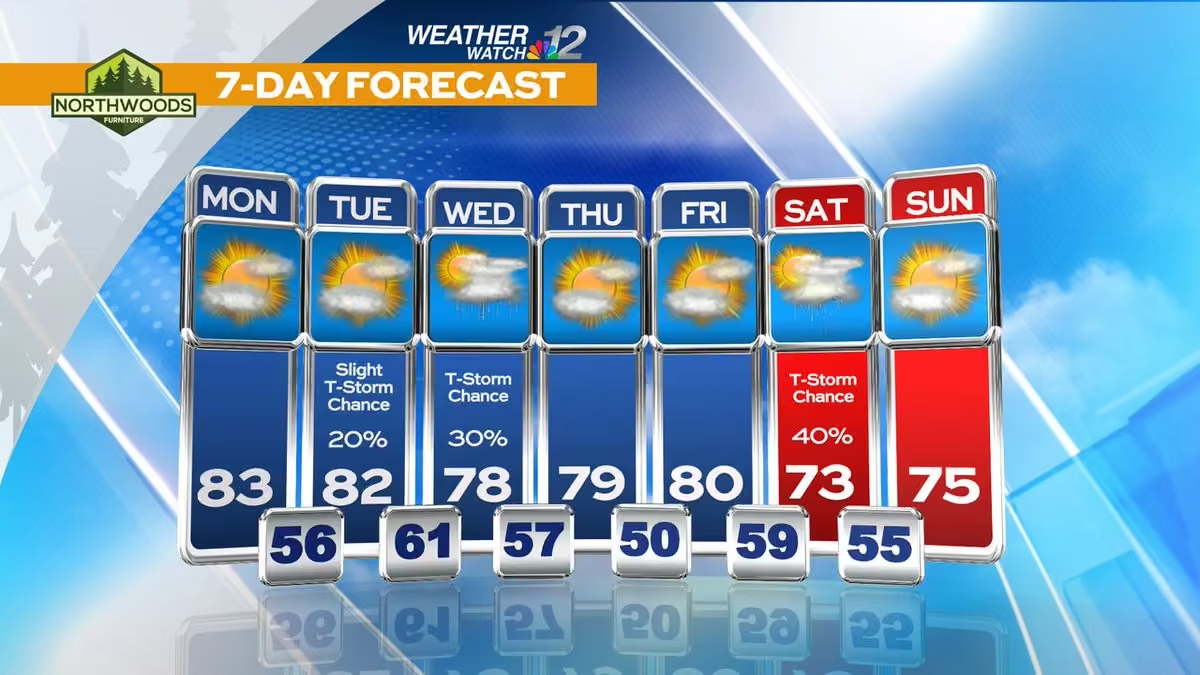
Another warm day is expected with a partly cloudy sky and highs in the low 80s. A slight chance for a shower or thunderstorm is possible late. Scattered showers and thunderstorms will move in this evening. Those will be gone by Tuesday as highs fall into the low 60s. #wiwx
-
WJFW 12 reposted
Meteorologist Devin Biggs
@mtrdevinbiggs
A new drought monitor was released yesterday and it continues to show bad news for northern Wisconsin. The state is now experiencing the largest exceptional drought on state record. This setup is quite interesting as southern Wisconsin is drought free. #wiwx
-
WJFW 12 reposted
Meteorologist Devin Biggs
@mtrdevinbiggs
We have a nice day in store with a partly cloudy sky and highs in the mid 60s. A warm front pushes through tonight and that will raise temperatures for the weekend. We'll be mostly sunny and windy with highs in the upper 70s to lower 80s. We'll cool down next week. #wiwx
-
WJFW 12 reposted
APCI
@_APCI
#pbms pay top dollar for lobbyists to kill #pbmrefom bills across the country. This store in Wisconsin is one of the effects of #pbmreform stuck in limbo. | @WJFW12
www.wjfw.com/news/local/six-months-later-eagle-river-phar… -
WJFW 12 reposted
Meteorologist Devin Biggs
@mtrdevinbiggs
We have a dry stretch of weather in store for the next several days. This isn't the best news as we continue to deal with drought. Temperatures will reach for the low 60s today. Frost will be expected tonight. Temperatures warm a little bit Friday. #wiwx
-
WJFW 12 reposted
Meteorologist Devin Biggs
@mtrdevinbiggs
Ready for a beautiful weekend? Most of you are probably going to like this. We'll have lots of sunshine as highs reach for the upper 70s. These forecasted highs might be a bit conservative. It is possible that some of you could hit the low 80s. Temperatures fall next week. #wiwx
-
WJFW 12
@WJFW12
Over the next three weekends, Minocqua Winter Park will offer drive-up access to the top of Squirrel Hill, where onlookers can see for miles into a palette of fall colors.
www.wjfw.com/news/local/minocquas-squirrel-hill-overlook-… -
WJFW 12
@WJFW12
The “Pow Wow the Vote” event brought all Wisconsin tribes together to highlight the importance of their rights.
"... it’s a stronger voice when we work together to elect leaders that will actually impact our native communities.”
www.wjfw.com/news/local/nonprofit-hosts-pow-wow-to-promot… -
WJFW 12 reposted
Meteorologist Devin Biggs
@mtrdevinbiggs
Hopefully you got a chance to go out and enjoy the fall colors over the weekend. The leaves are changing and blowing off the trees. We just received an update from "Explore Fall." The Northwoods and the U.P. are in peak colors now with other areas hitting past peak. #wiwx #miwx
-
WJFW 12
@WJFW12
Even with a new scoring schedule and improvement in some grades, less than half of students in Wisconsin schools are reading and doing math at grade level. www.wjfw.com/news/regional/wisconsin-test-scores-show-les…
-
WJFW 12 reposted
Meteorologist Devin Biggs
@mtrdevinbiggs
The Freeze Warning that was up for the U.P. has now been expanded to include parts of the Northwoods now. This is your notice now to cover any flowers or vegetation up that you want to stay alive; or bring them inside away from the cold. #wiwx
-
WJFW 12 reposted
Meteorologist Devin Biggs
@mtrdevinbiggs
ONGOING #drought: The latest drought monitor has been released parts of the Northwoods have worsened in drought conditions with the extreme and exceptional drought categories. However, further south, some areas have improved thanks recent rainfall. #wiwx
-
WJFW 12 reposted
Meteorologist Devin Biggs
@mtrdevinbiggs
The leaves are changing fast up here across north-central Wisconsin and also into the U.P. Many areas are reporting some to even high colors. A part of the U.P. is at peak. Things get good in the next 7 days as the forecast calls for peak foliage in the Northwoods. #wiwx
-
WJFW 12 reposted
Meteorologist Devin Biggs
@mtrdevinbiggs
Visibility is still very low this morning thanks to areas of dense fog that developed overnight. The sun is working to mix out the fog now, but it will take some time. Until the fog clears out, please exercise caution when traveling. #wiwx
-
WJFW 12
@WJFW12
'YOU DREAMED OF PLAYING FOR COACH SINZ': For Jerry Sinz, his staff (some who played for him at Edgar) and his players, the 500th win is a reminder of generations of players who made the @EdgarFootball17 program what it is today.
www.wjfw.com/sports/local_sports/generations-of-players-r… -
WJFW 12 reposted
Meteorologist Devin Biggs
@mtrdevinbiggs
BREAKING: For the first tine since the September 19, 2023 Drought Monitor, parts of Wisconsin have been added back to the Exceptional Drought (D4) category. That is the highest level drought category on the drought monitor. No rain is in the forecast through the weekend. #wiwx
-
WJFW 12 reposted
Meteorologist Devin Biggs
@mtrdevinbiggs
Another cool morning across the Northwoods with most of us seeing temperatures in the 30s and 40s. Areas in northwest Wisconsin saw upper 20s. We'll see lots of sunshine today as highs reach for the upper 60s. We'll be done with the frost for awhile. #wiwx
-
WJFW 12
@WJFW12
KELLEY CASTLE: As the Fall Ride in Tomahawk brought many bikers up to the Northwoods, it provides one renaissance man a perfect opportunity to show off a hidden gem in northern Wisconsin. www.wjfw.com/news/local/local-man-transforms-property-int…
-
WJFW 12 reposted
Meteorologist Devin Biggs
@mtrdevinbiggs
Low temperatures this morning were all over the place. The Northwoods saw temperatures in the 20s and 30s. Other spots down south saw temperatures in the 40s. Some of our southern counties saw some showers too thanks to an area of low pressure to the south. #wiwx
-
WJFW 12 reposted
Meteorologist Devin Biggs
@mtrdevinbiggs
The fall colors are filling in across the Northwoods! A new update came in this morning to our map. Low color is being seen for most of us. Some more color has been estimated in the U.P. More fall color is forecast over the next 7 days. #wiwx
-
WJFW 12 reposted
Meteorologist Devin Biggs
@mtrdevinbiggs
Outside of a chance for sprinkles tonight in our southern counties, we'll be dry the next several days with a mixture of clouds and sunshine with highs in the 60s. Tuesday night and Wednesday night will feature some frost so make sure to protect your plants and vegetation. #wiwx
-
WJFW 12
@WJFW12
LOCAL MOOSE SIGHTING: Thank you to Travis Davis, of Boulder Junction, who saw this bull moose going for a swim in Birch Lake in Winchester yesterday. What a moment for him.
-
WJFW 12
@WJFW12
After a 5-2 win against Pacelli on Tuesday, the Rhinelander girls tennis team is riding momentum as they set in for a long stretch of conference play.
www.wjfw.com/sports/local_sports/team-cohesion-mentoring-… -
WJFW 12
@WJFW12
A local artist, who has been creating wildlife art since he was a child, now has the honor of having his work on next year's edition of a Wisconsin DNR bird stamp. www.wjfw.com/news/local/hazlehurst-artist-wins-dnr-waterf…
-
WJFW 12 reposted
Meteorologist Devin Biggs
@mtrdevinbiggs
Temperatures got rather cool this morning as many of us saw lows in the 30s and 40s. Temperatures will warm up into the low 70s today thanks to lots of sunshine. We will not get as cool tonight as clouds move in along with a chance for showers. #wiwx
-
WJFW 12
@WJFW12
The Miners hope to make the venue a must-stop for both local residents and visitors to the Tomahawk area. The barn has its original wood and framing from the 19th century and hope to keep the history alive while hosting events for the community. www.wjfw.com/news/local/historic-barn-turned-event-space-…
-
WJFW 12 reposted
Tom Tiffany
@TomTiffanyWI
While returning home from the La Crosse County Lincoln Day Dinner tonight, the plane I was traveling in lost power as we approached the Wausau Downtown Airport. The pilot made an emergency water landing in Lake Wausau.
After landing, we called 911. As the plane began to submerge, we exited the aircraft and swam to a shallow area, where we waited until emergency responders reached us by boat.
I want to express my deepest gratitude to the pilot, the Wausau Fire Department, and all of the first responders who came to our aid so quickly. They got us safely off the water and transported us to Aspirus Wausau Hospital, where we received excellent care. Thankfully, both the pilot and I sustained only minor injuries.
God was watching over us tonight, and I am incredibly grateful to be here in the hospital with my wife, Chris, by my side. An experience like this reminds you just how precious life is. -

WJFW 12
@WJFW12
Many of our area lakes rely on rainwater to stay at a reasonable depth. With this summer's drought affecting much of the Northwoods, many lakes have drastically dropped in depth, including the Gile Flowage. www.wjfw.com/news/local/gile-flowage-experiences-dangerou…
-
WJFW 12
@WJFW12
WHITMAN'S WAVE PARTY: ICYMI: Our reporter Jake Donoho went live on Up North @ 4 yesterday from Whitman's Bar and Grill for a decades-old tradition of sending summer tourists off in style at Whitman's Bar and Grill Annual Wave Party.
www.wjfw.com/chat-at-whitmans-wave-party/video_5303e6b3-9… -
WJFW 12
@WJFW12
HIGHWAY 8 CONSTRUCTION: The project is fixing a large stretch of Highway 8 and adding two new roundabouts at the intersections of Highway 17 and County Road G.
The project is anticipated to be done in about a month. www.wjfw.com/news/local/construction-on-highway-8-nears-c… -
WJFW 12
@WJFW12
NEW COMMUNITY CENTER: The building includes a banquet hall, the chamber office, town offices, library, meeting rooms and more.
"We had a dream but it turned out better than any of us ever imagined. Proud to be a part of it.”
www.wjfw.com/news/local/new-phelps-community-center-welco… -
WJFW 12
@WJFW12
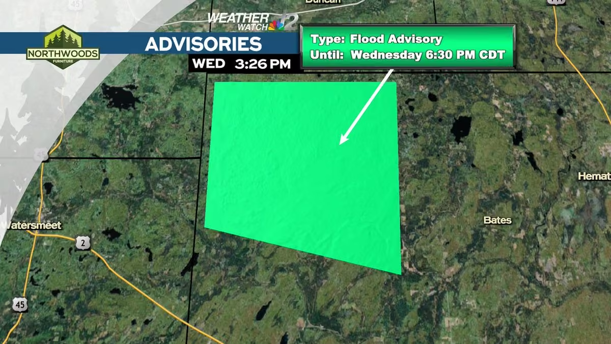
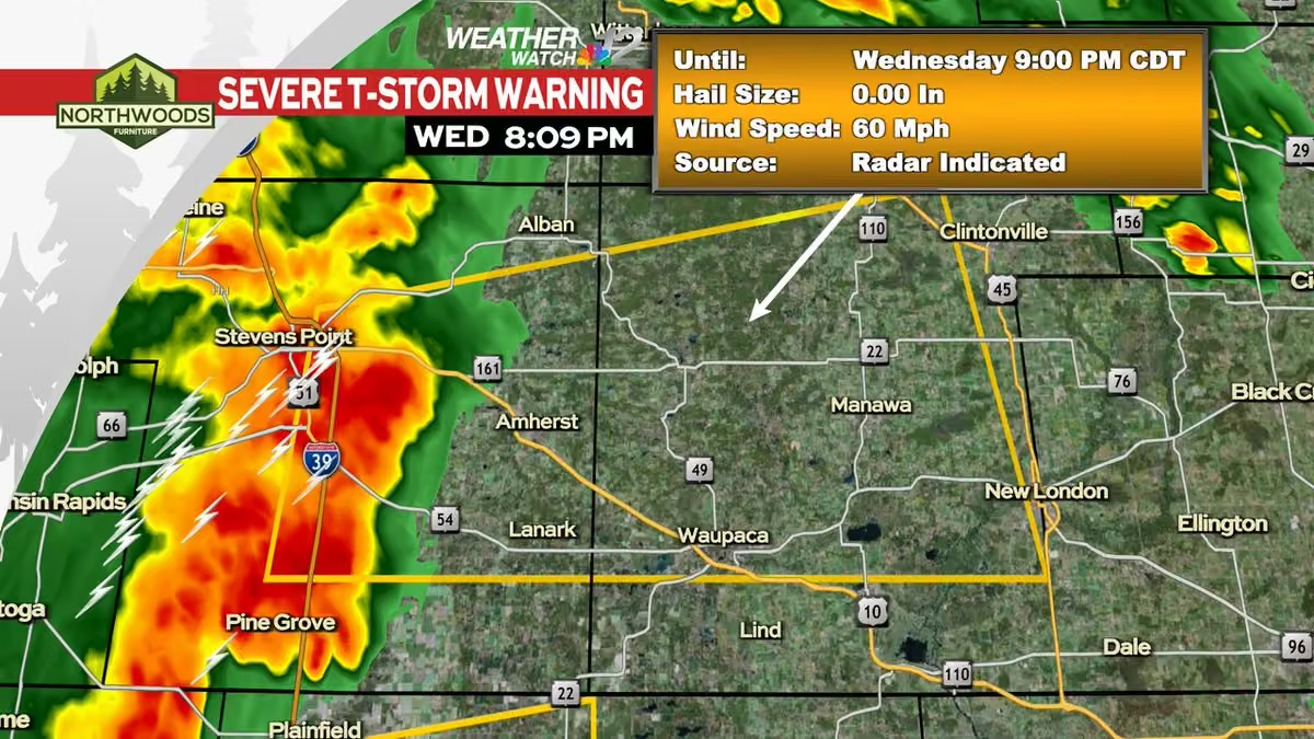
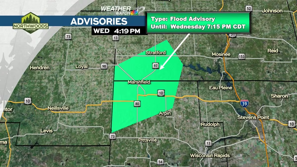
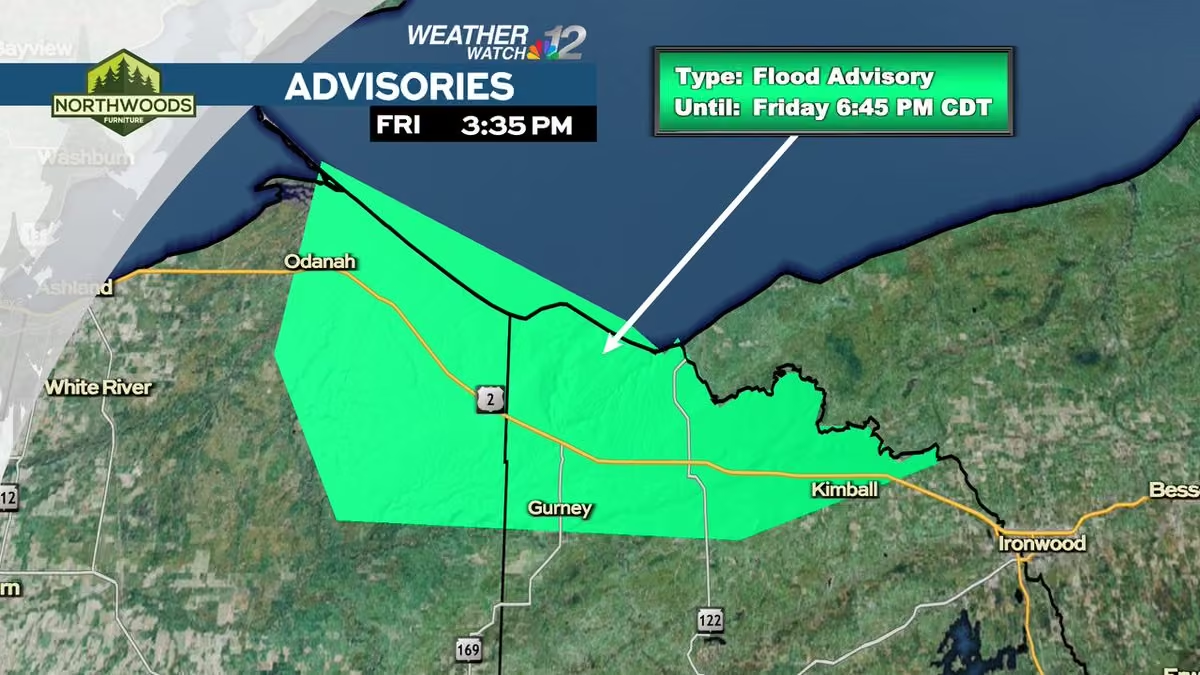
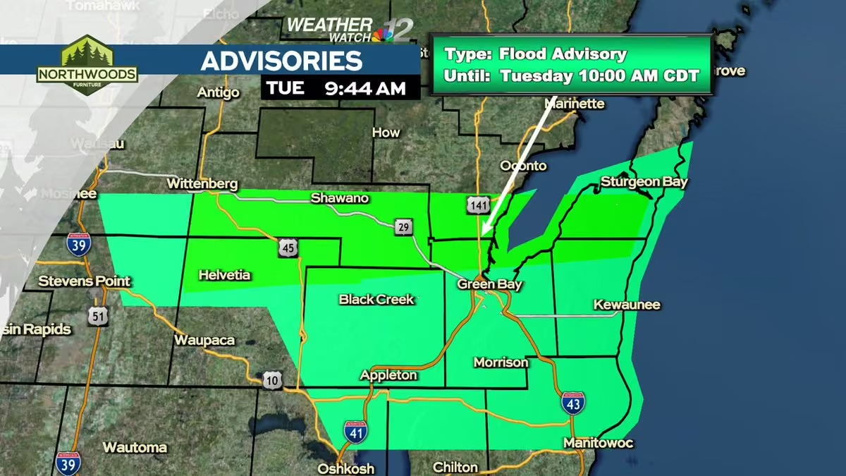
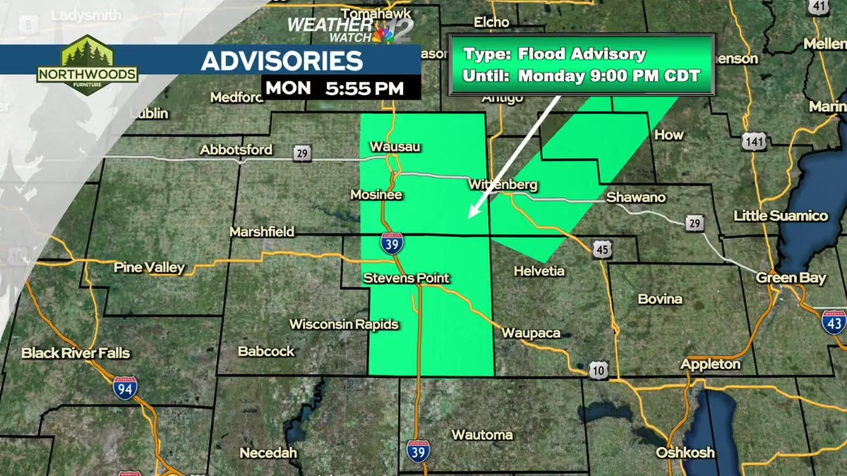
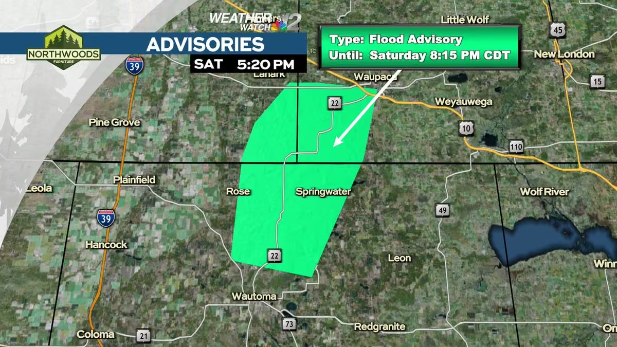
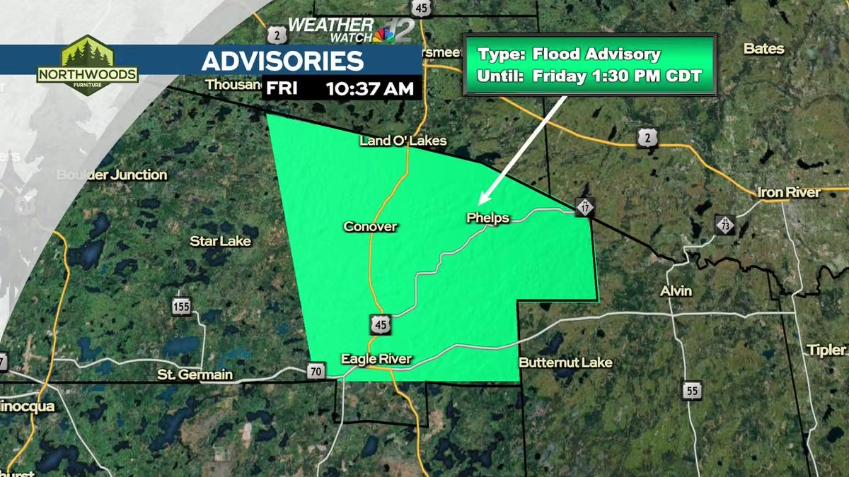
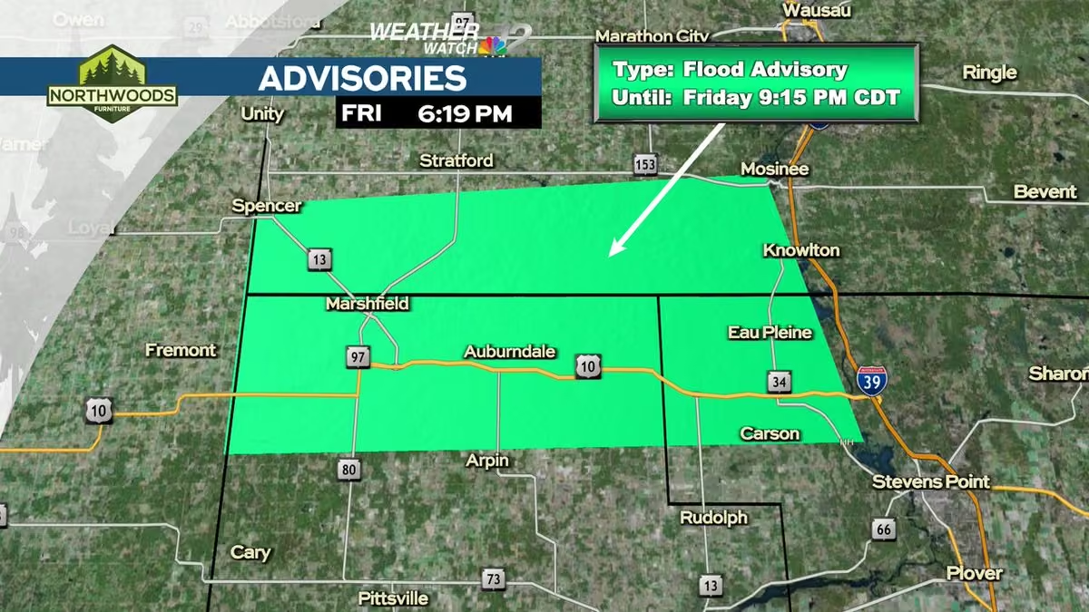
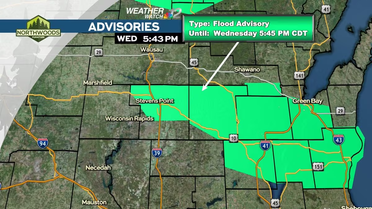
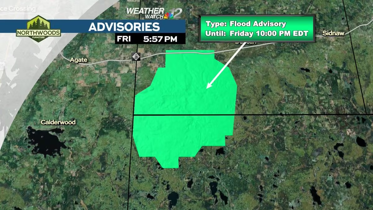
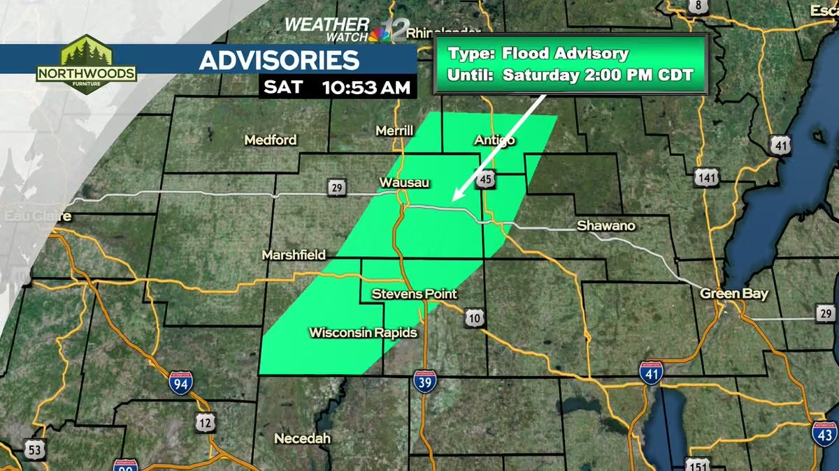
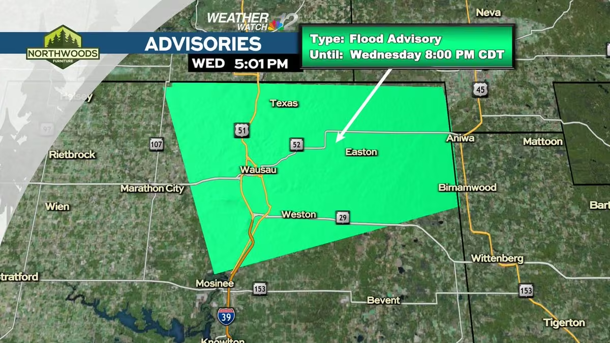
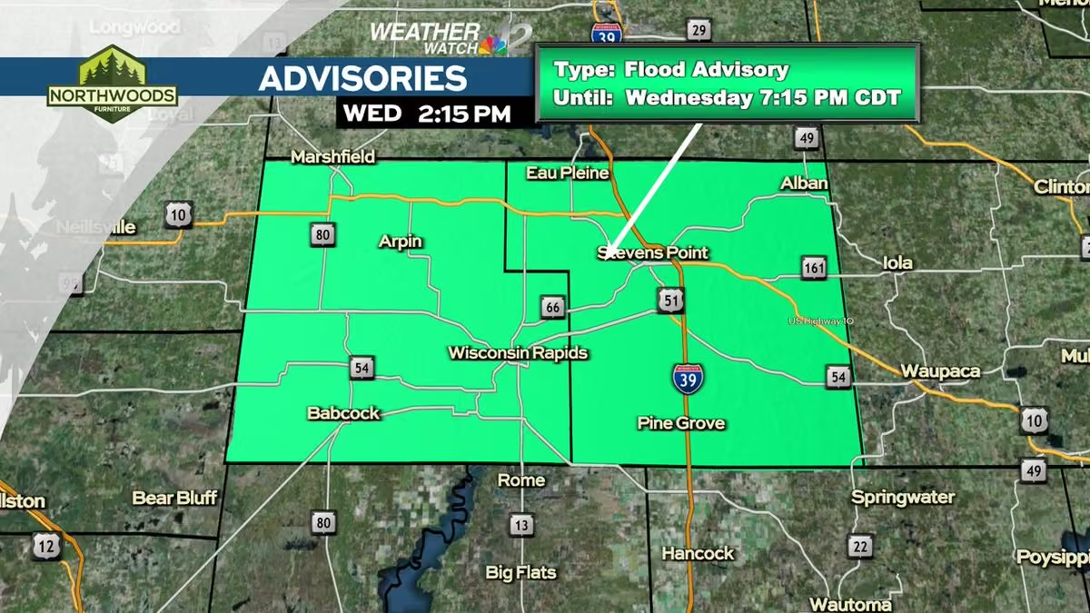
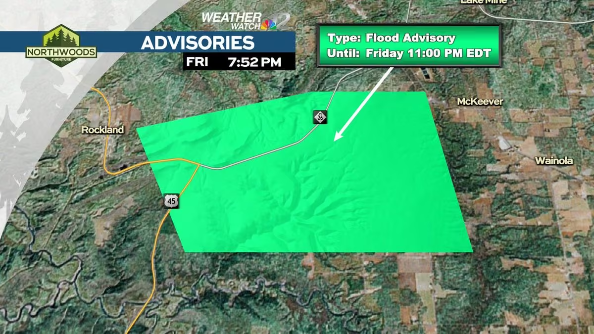
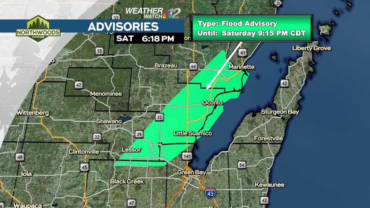
A Flood (FA) Advisory has been issued within our viewing area until Sep 04 9:15PM CDT.
Check the Weather Watch 12 Weather App or go to www.wjfw.com/weather for more information. #wiwx -
WJFW 12
@WJFW12
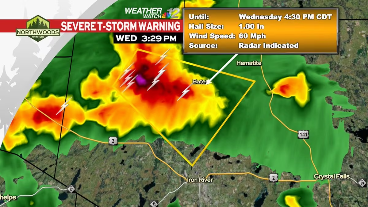
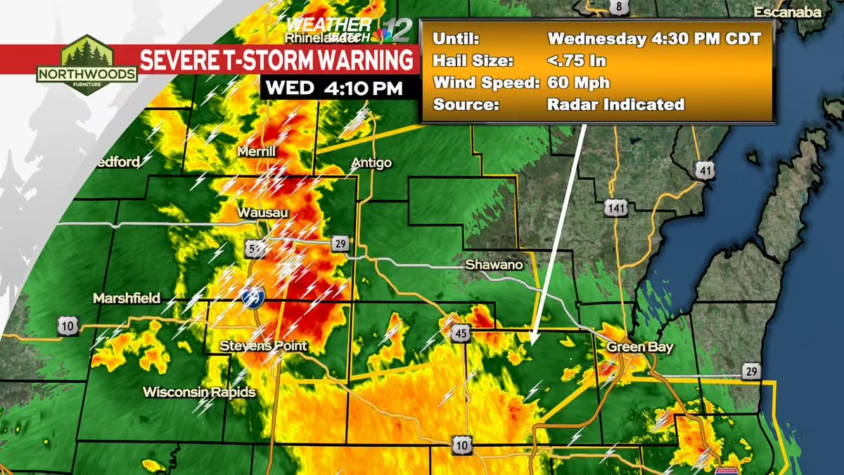
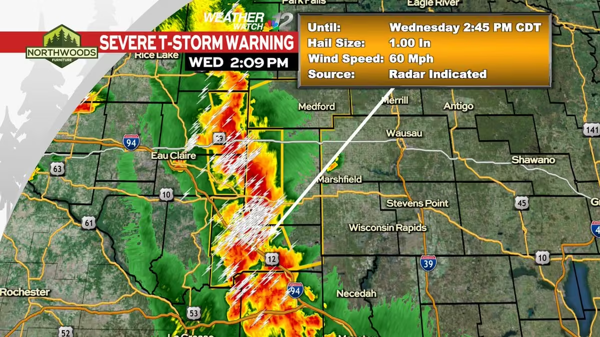
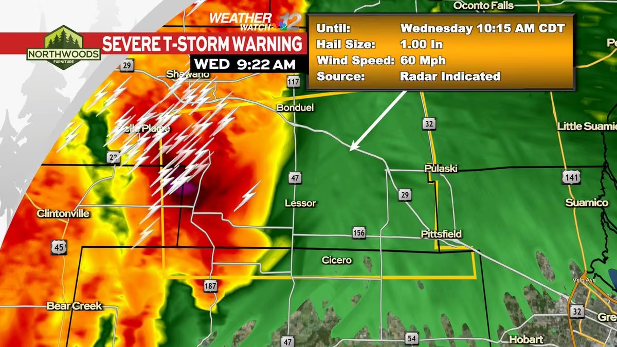
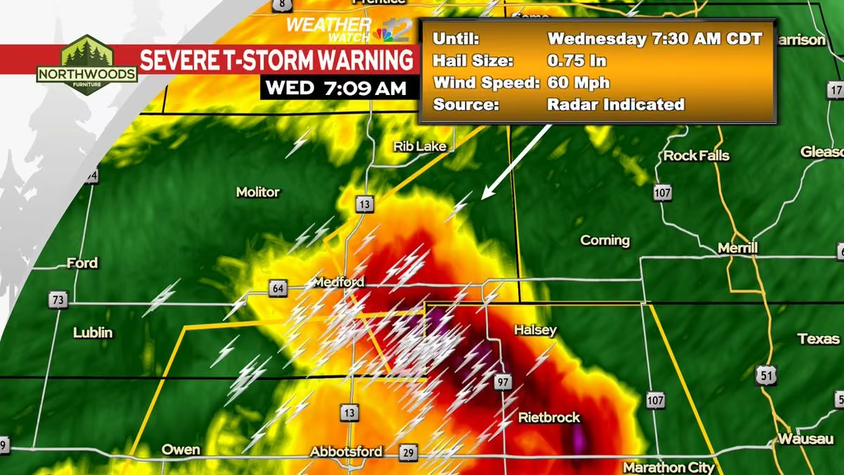
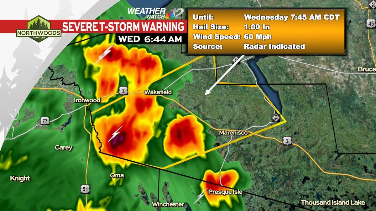
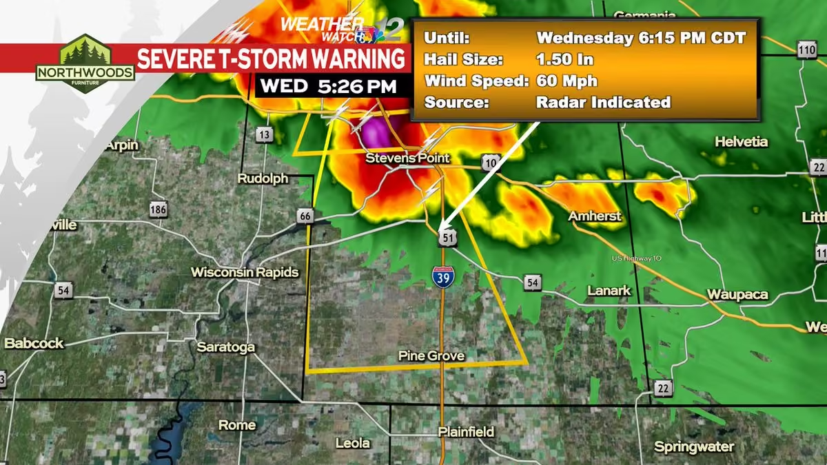
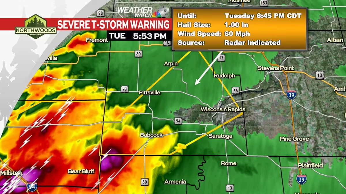
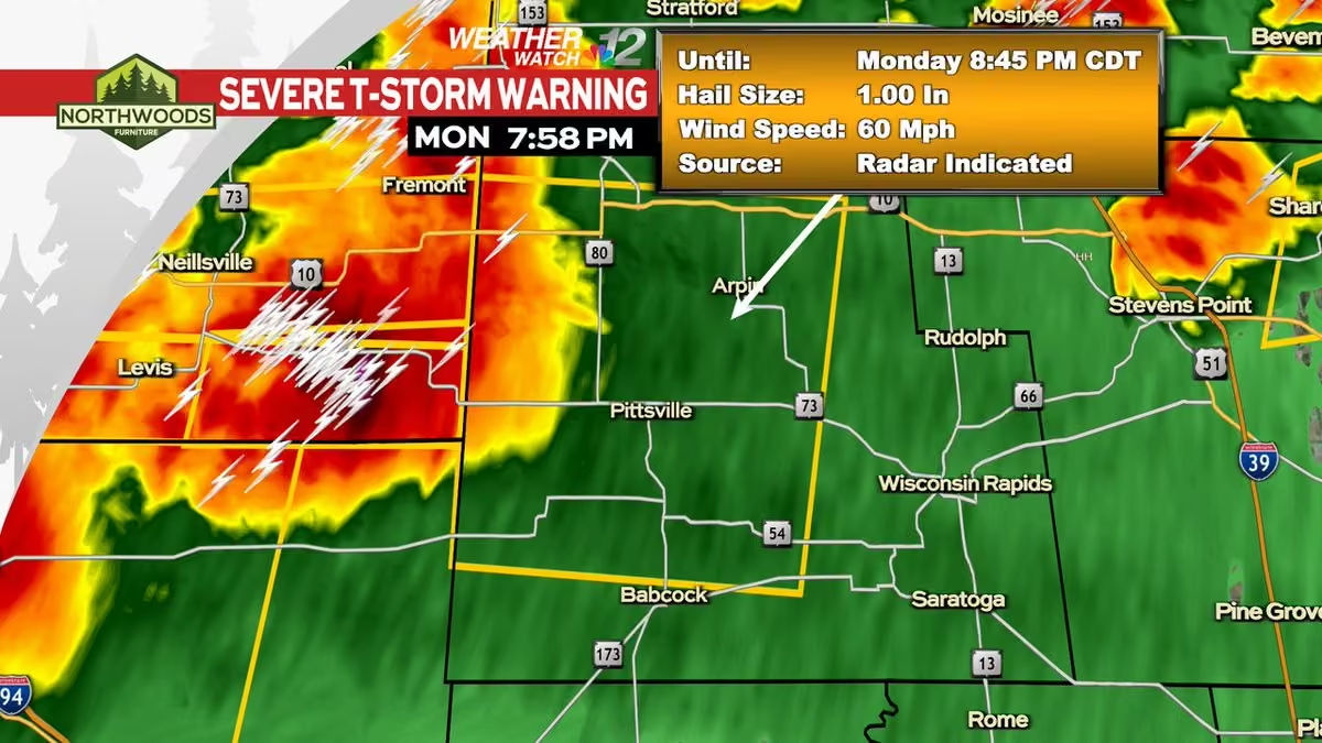
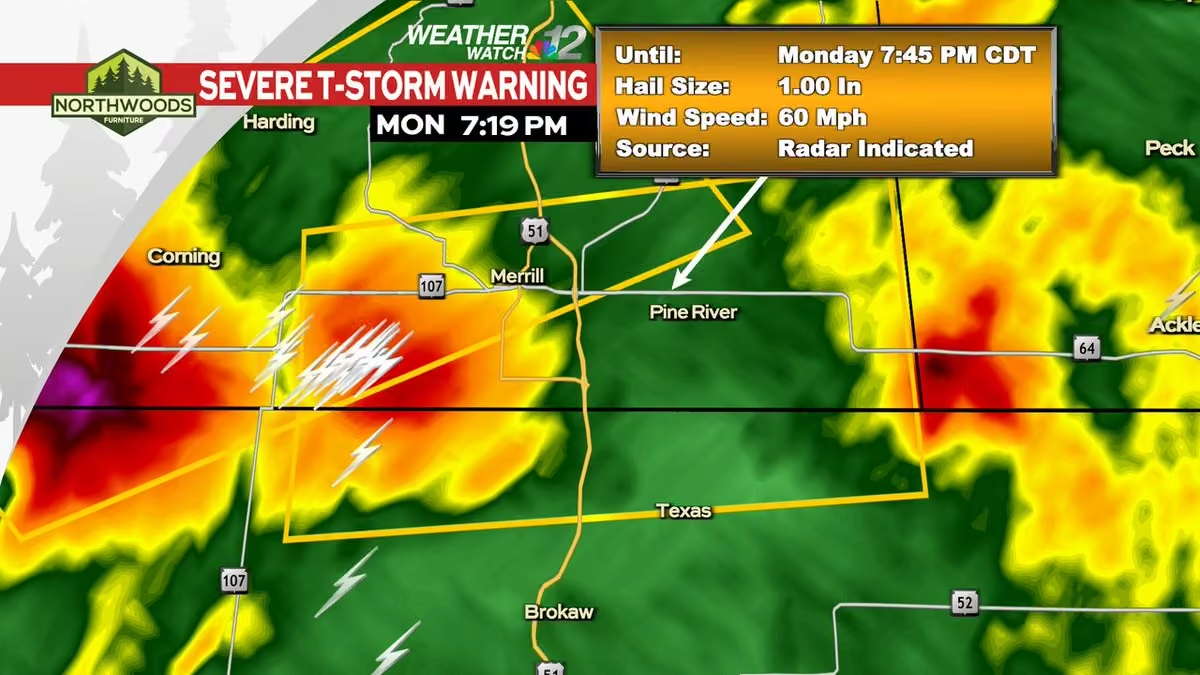
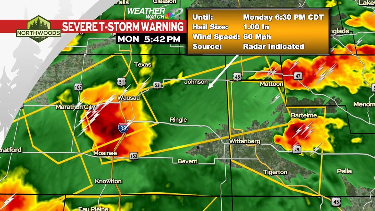
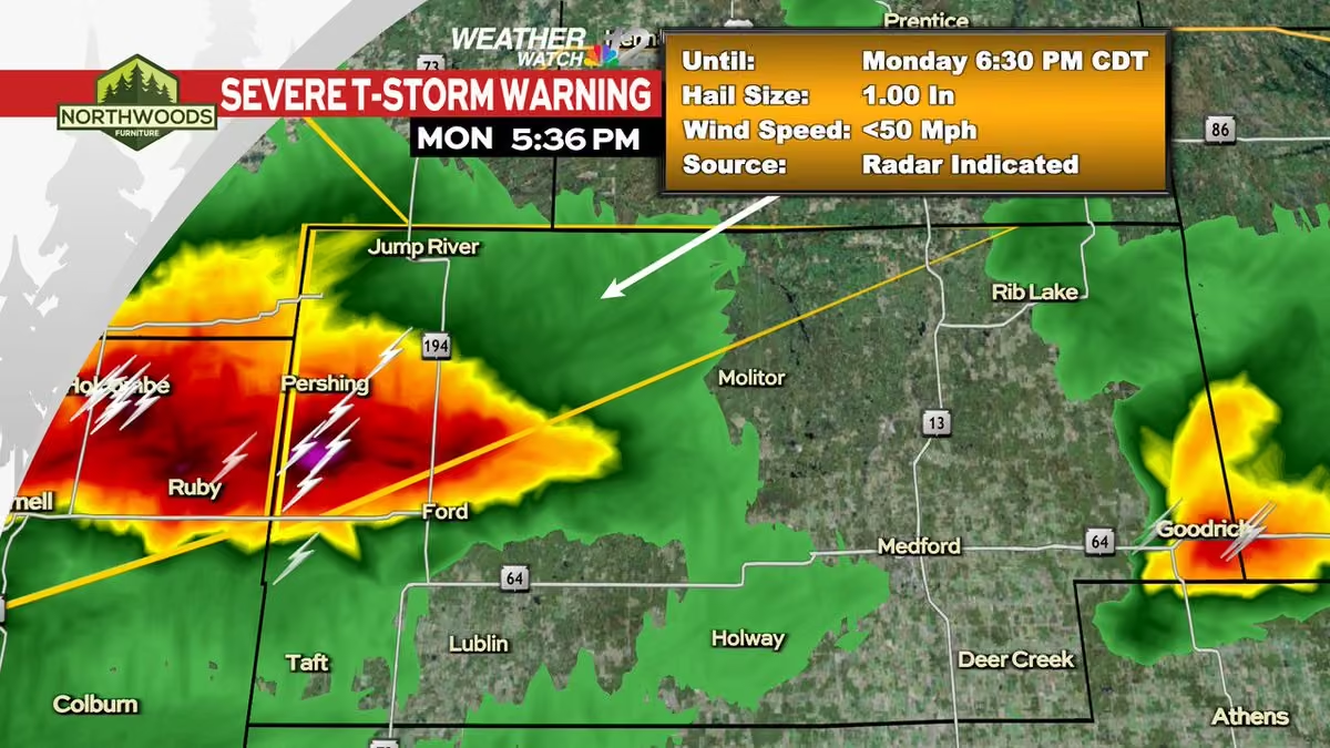
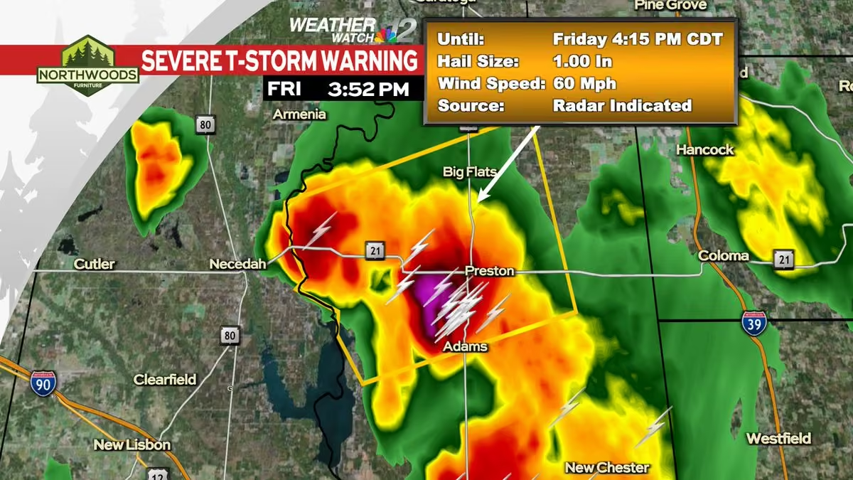
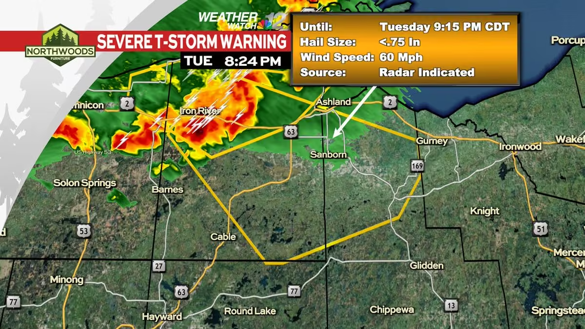
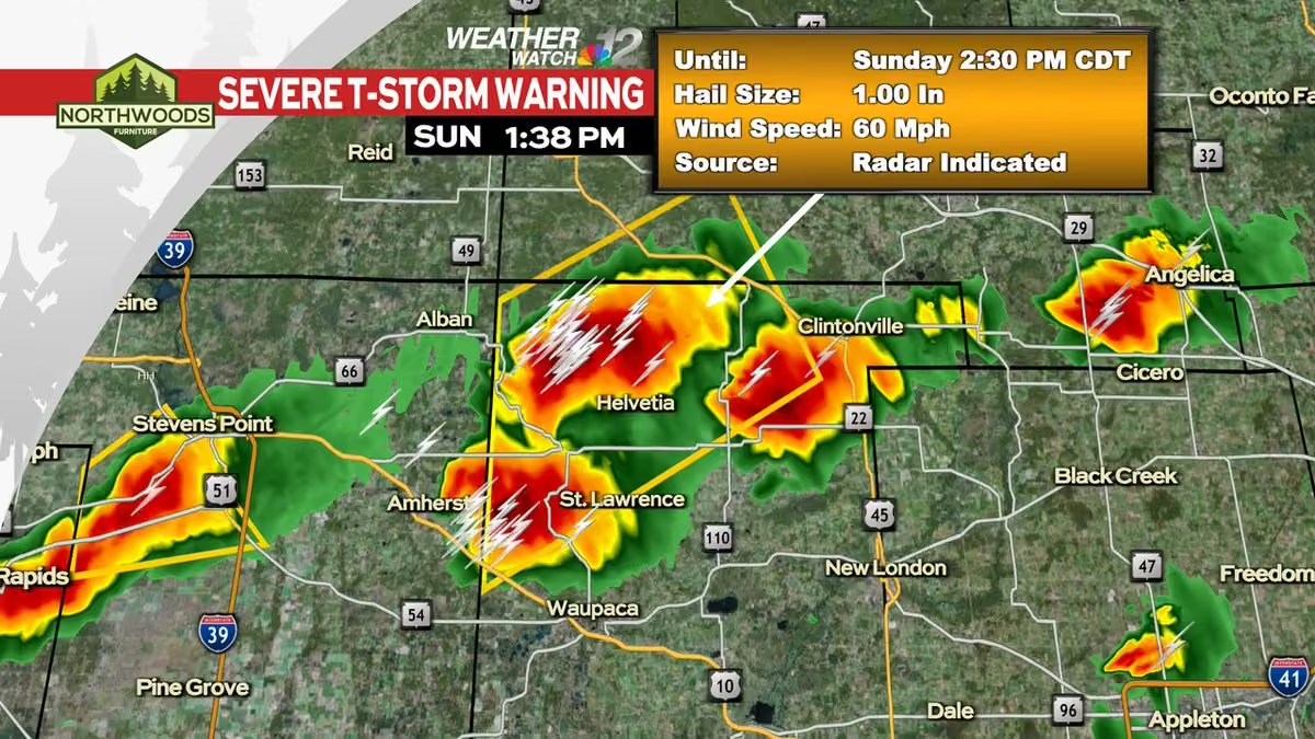
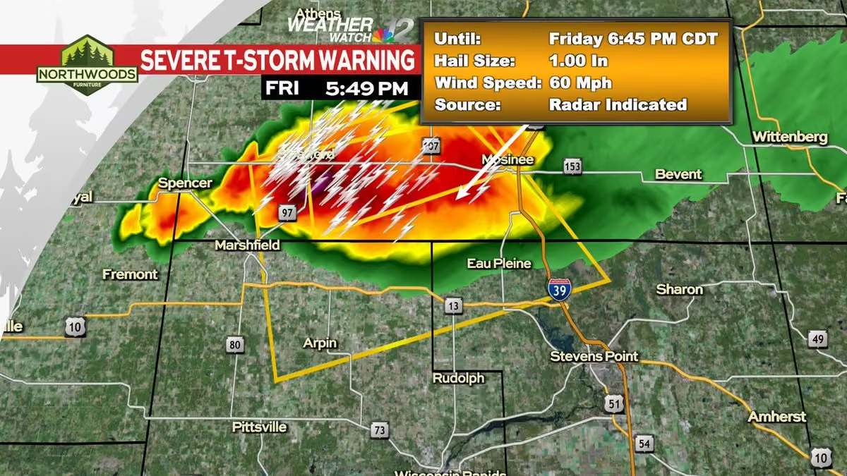
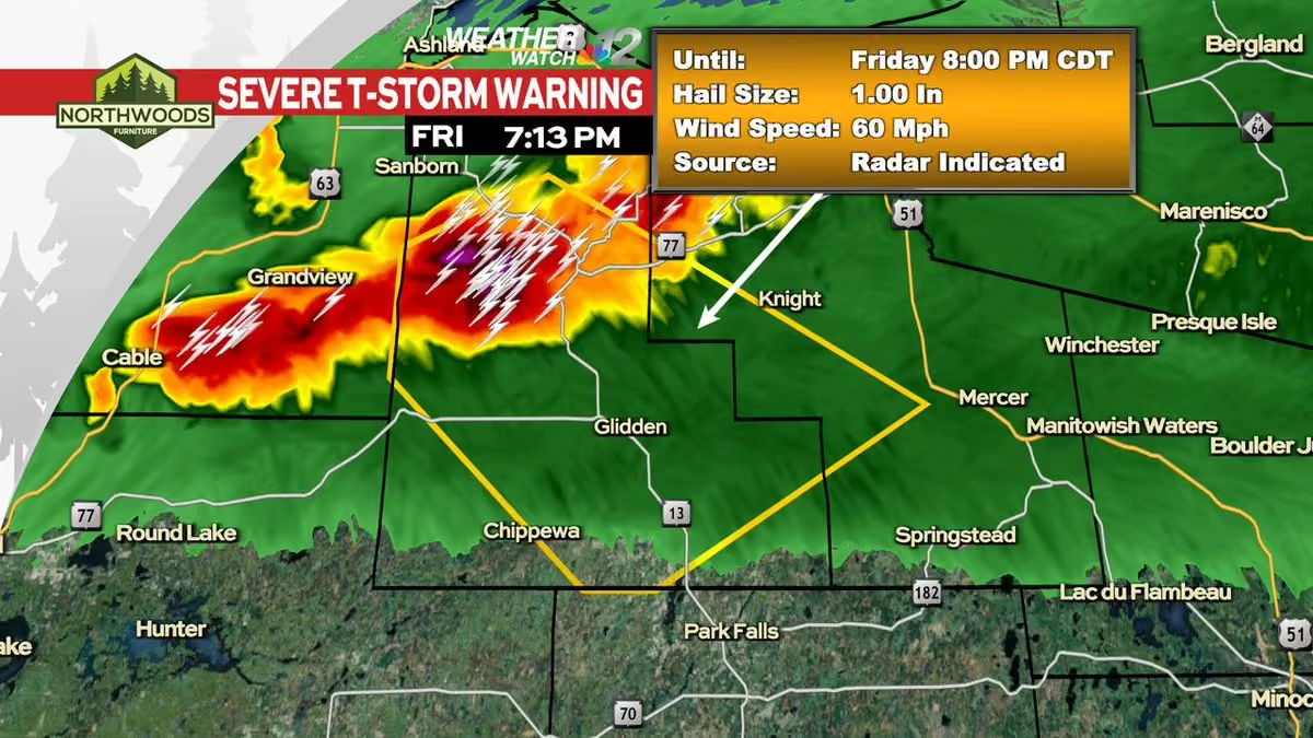
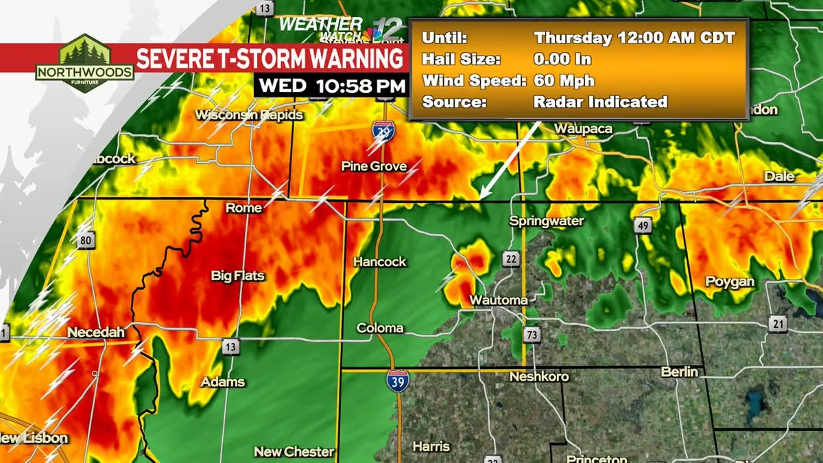
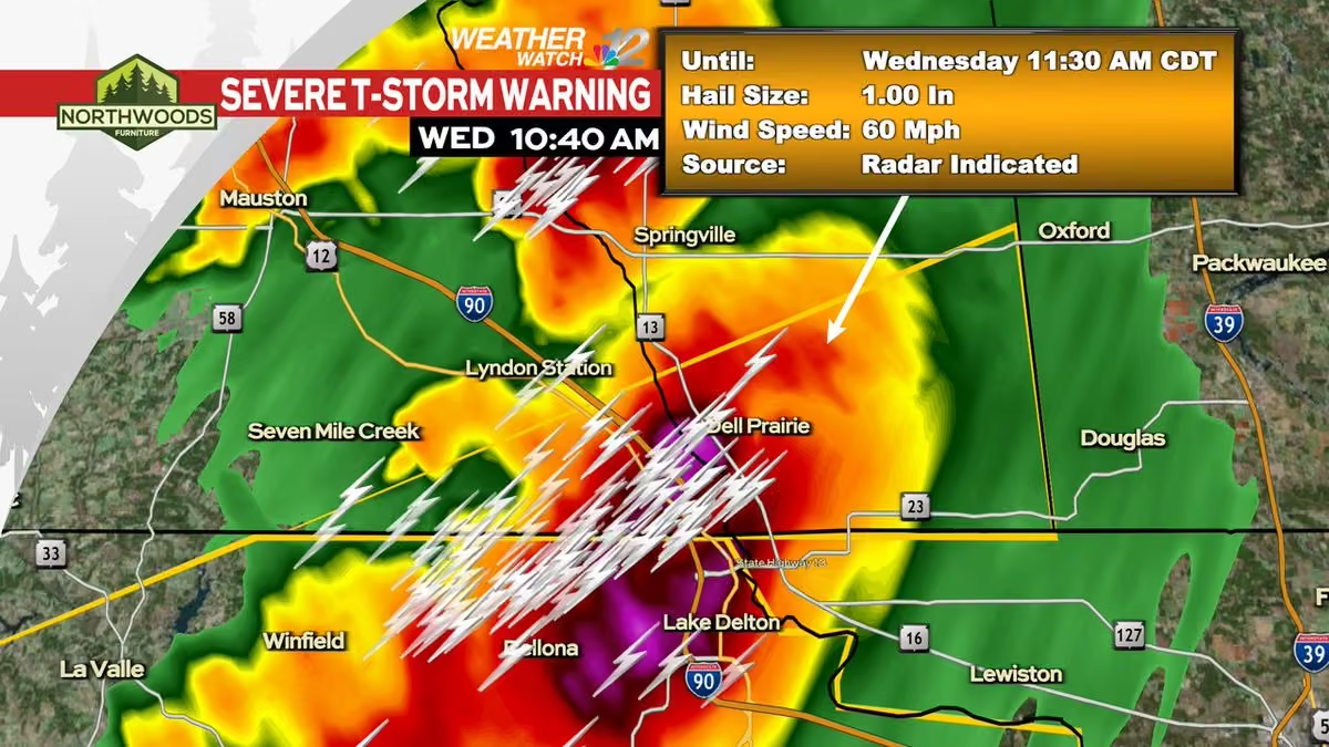
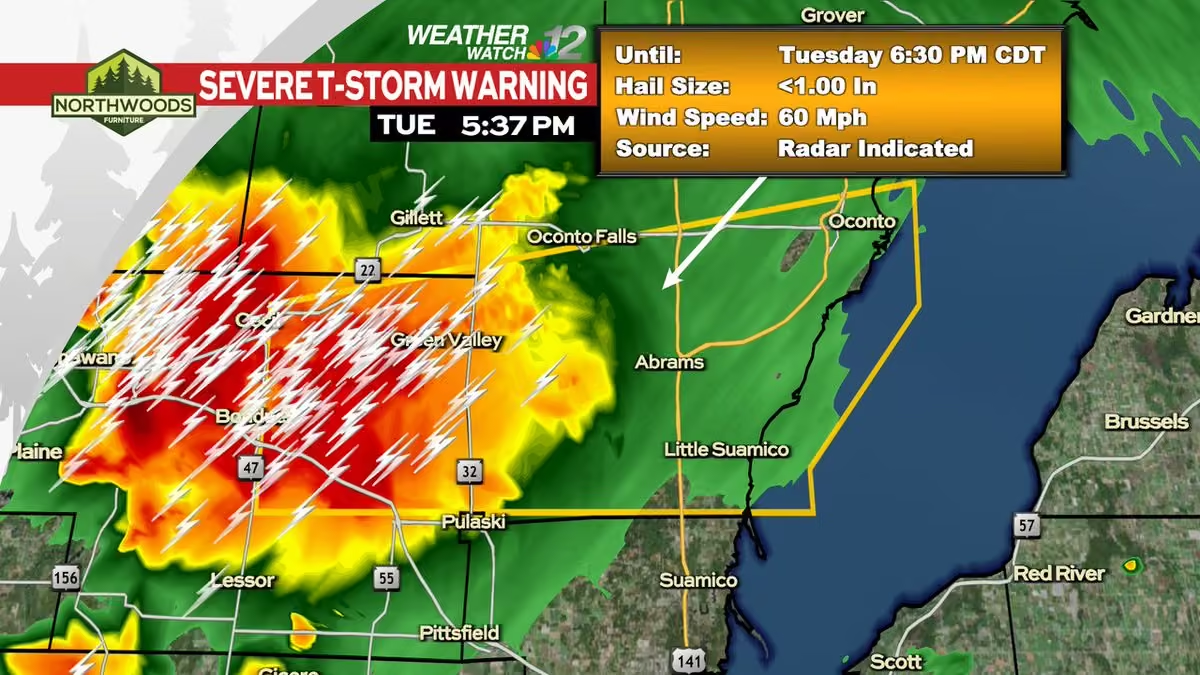
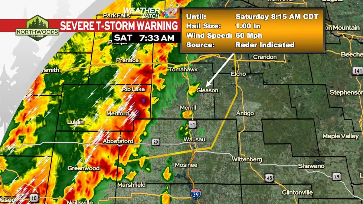
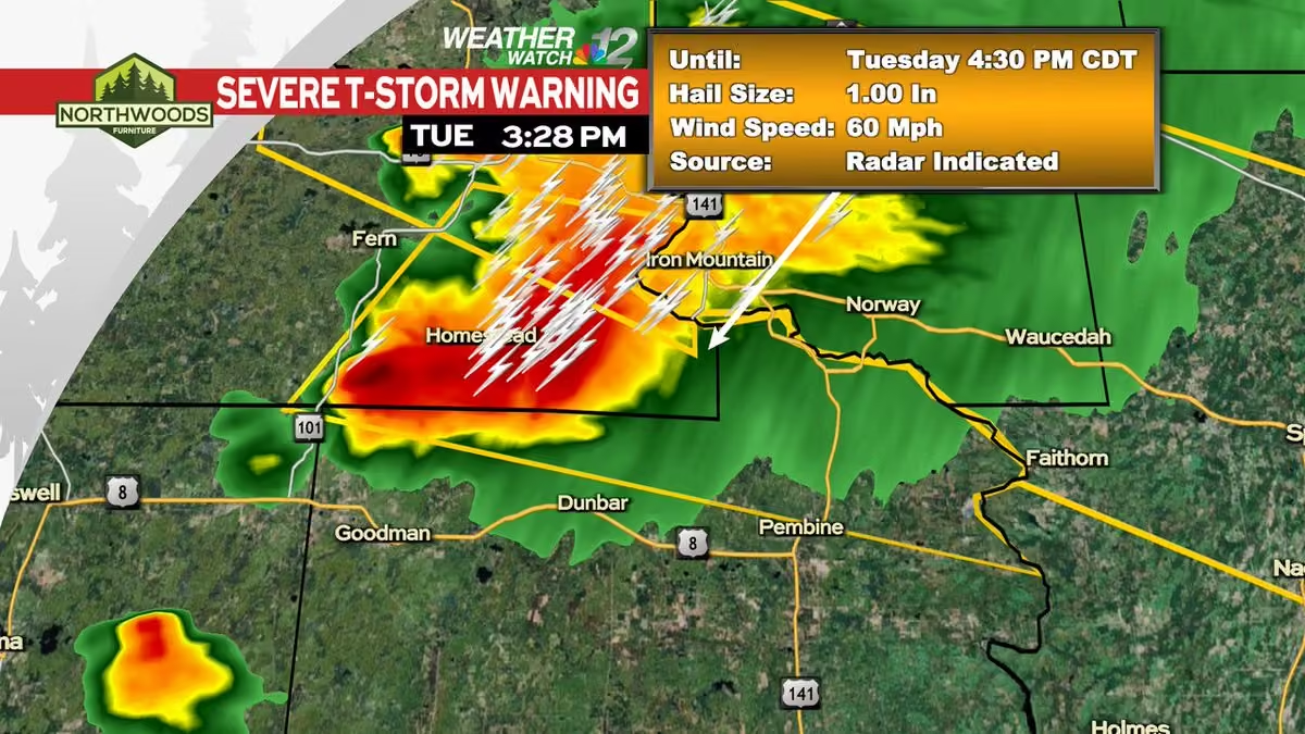
A Severe Thunderstorm Warning has been issued within our viewing area until 9/04 6:45PM CDT.
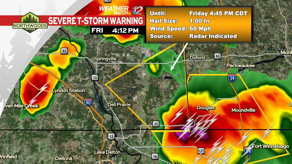
Check the Weather Watch 12 Weather App or go to www.wjfw.com/weather for more information. #wiwx -
WJFW 12
@WJFW12
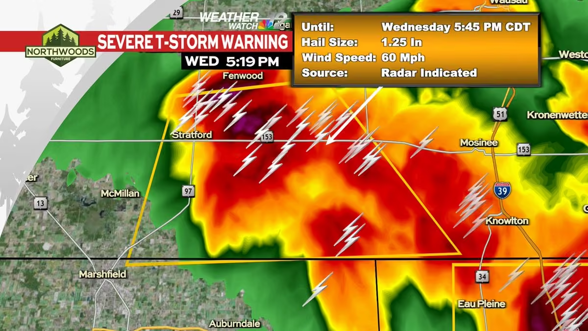
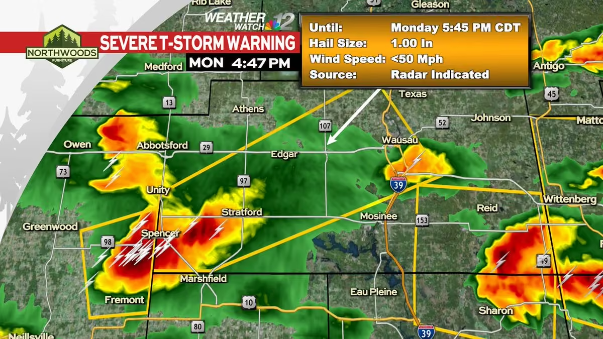
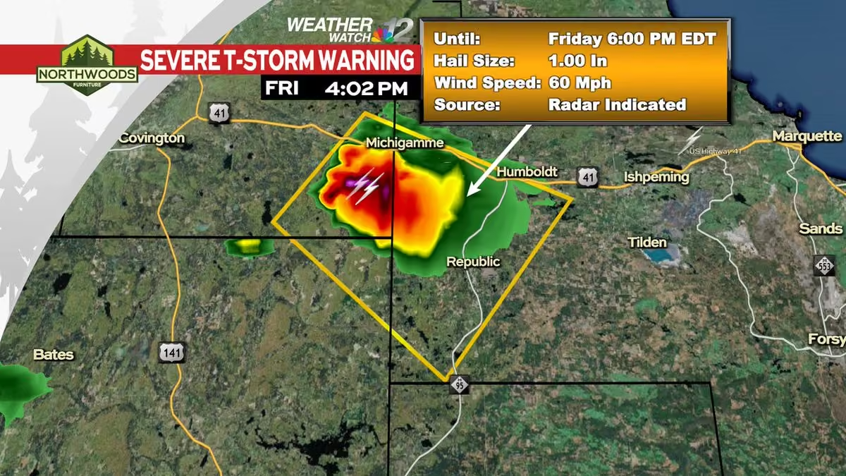
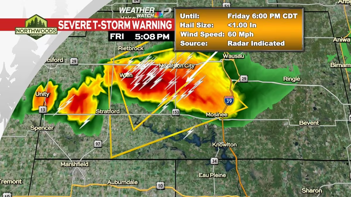
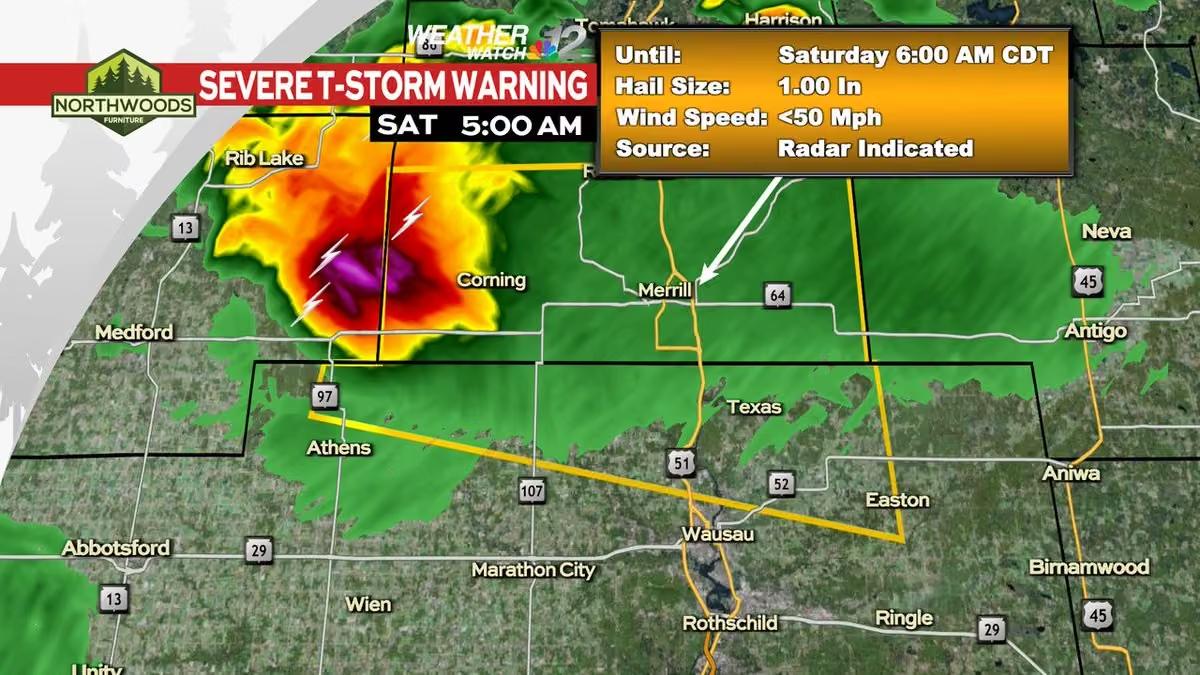
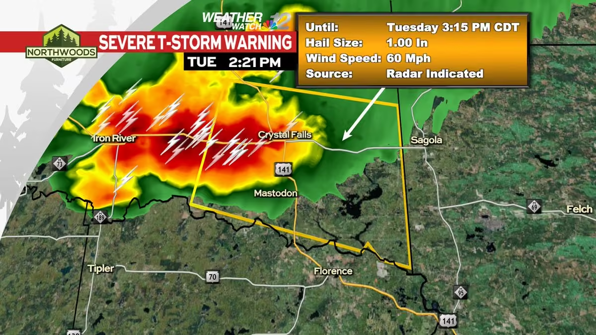
A Severe Thunderstorm Warning has been issued within our viewing area until 9/04 6:00PM CDT.
Check the Weather Watch 12 Weather App or go to www.wjfw.com/weather for more information. #wiwx -
WJFW 12
@WJFW12
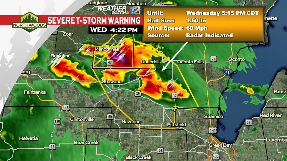
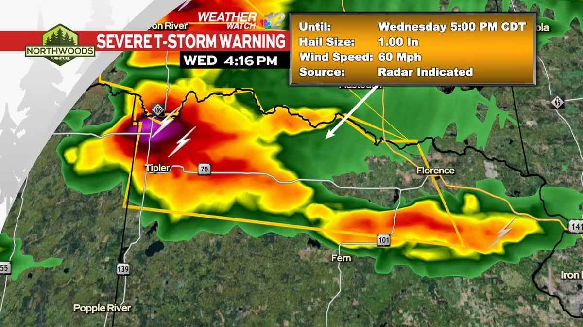
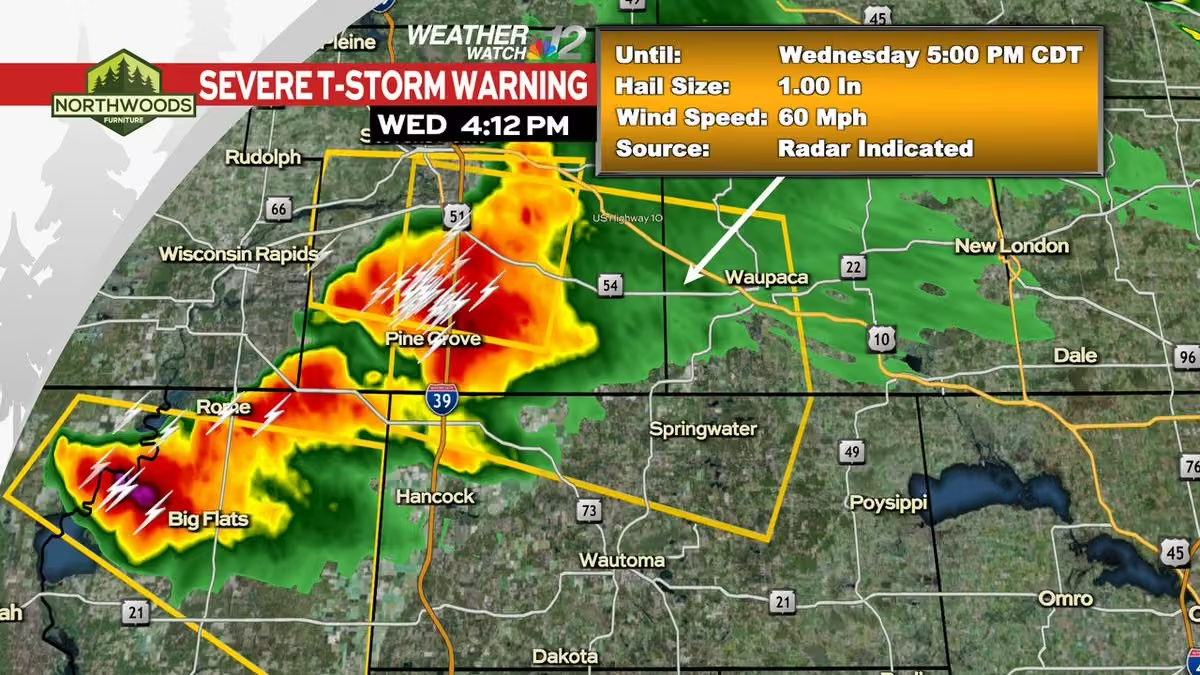
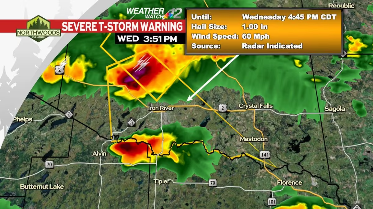
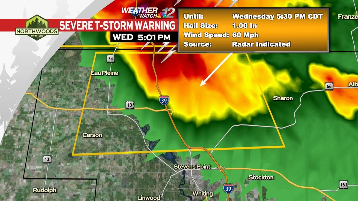
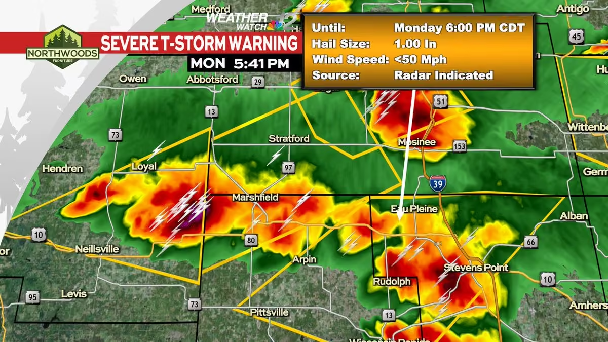
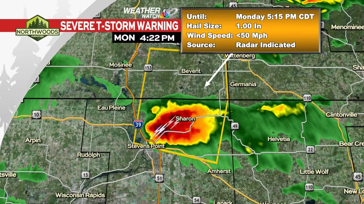
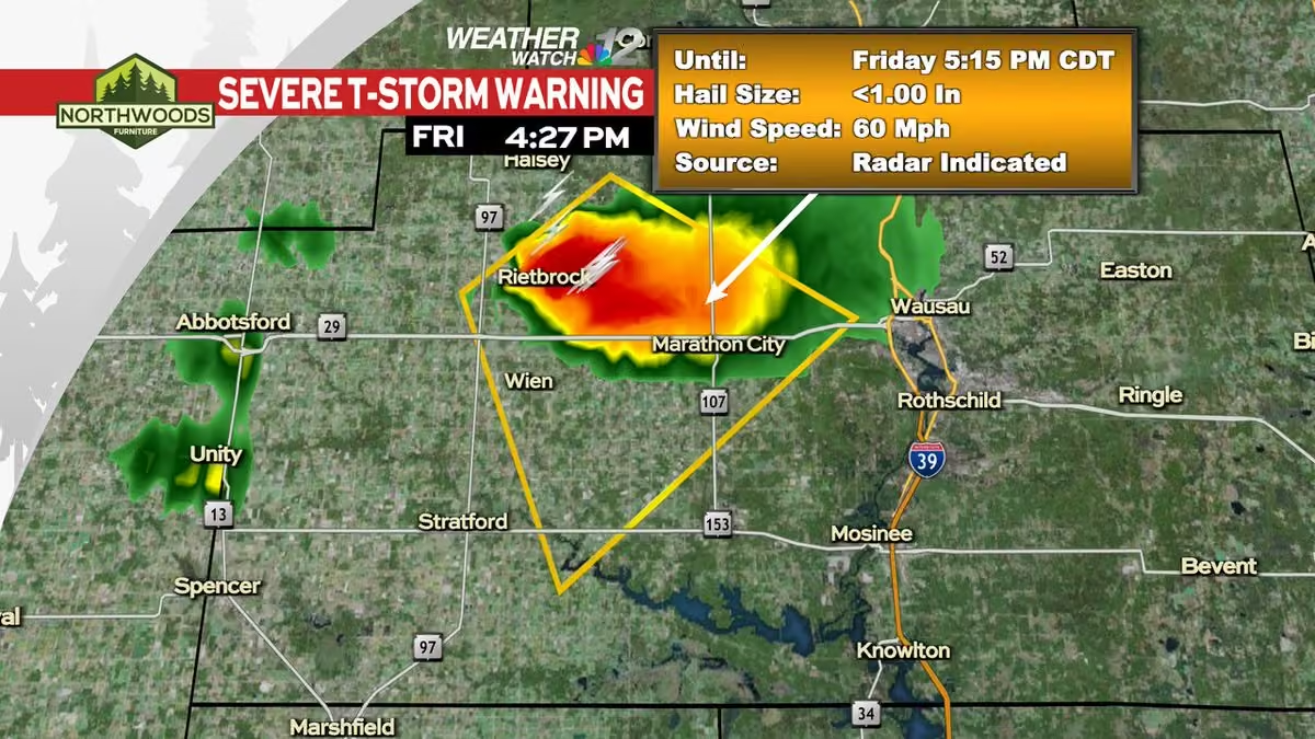
A Severe Thunderstorm Warning has been issued within our viewing area until 9/04 5:15PM CDT.
Check the Weather Watch 12 Weather App or go to www.wjfw.com/weather for more information. #wiwx -
WJFW 12
@WJFW12
Former @PointersMBB grad assistant, JR Blount, was named the head coach of a Division I program - the San Diego Toreros this offseason. www.wjfw.com/sports/former-uwsp-coach-jr-blount-is-starti…
-
WJFW 12
@WJFW12
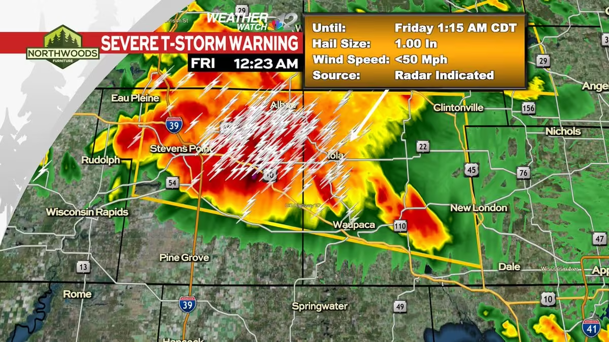
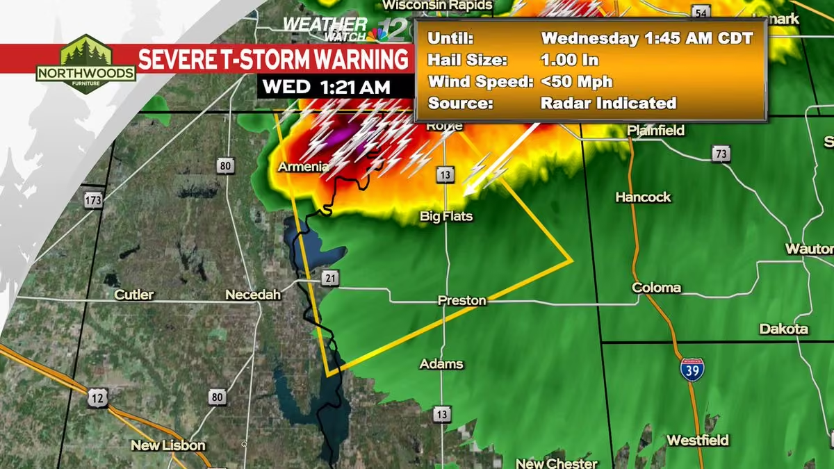
A Severe Thunderstorm Warning has been issued within our viewing area until 9/04 1:45AM CDT.
Check the Weather Watch 12 Weather App or go to www.wjfw.com/weather for more information. #wiwx -
WJFW 12
@WJFW12
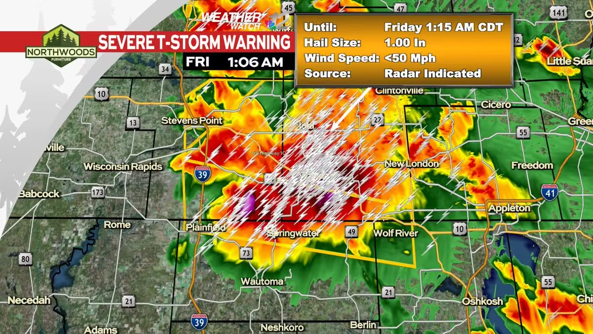
A Severe Thunderstorm Warning has been issued within our viewing area until 9/04 1:15AM CDT.
Check the Weather Watch 12 Weather App or go to www.wjfw.com/weather for more information. #wiwx -
WJFW 12
@WJFW12
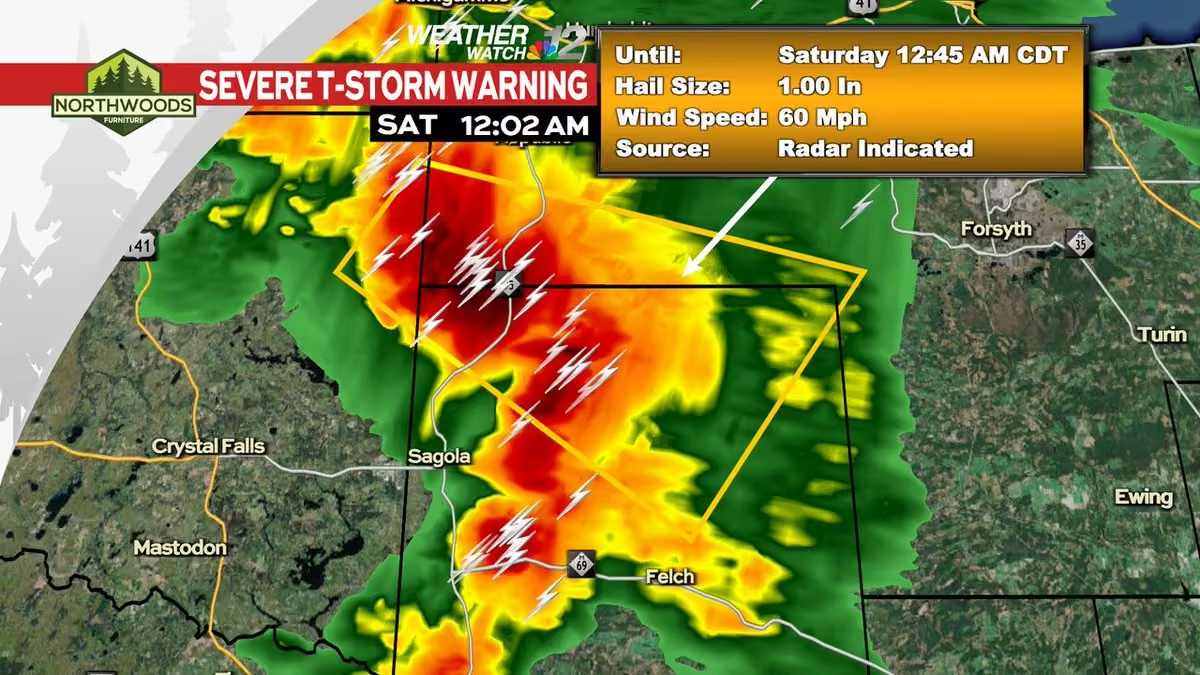
A Severe Thunderstorm Warning has been issued within our viewing area until 9/04 12:45AM CDT.
Check the Weather Watch 12 Weather App or go to www.wjfw.com/weather for more information. #wiwx -
WJFW 12
@WJFW12
The Heart of the Vilas County Bike Trail extends 55 miles from Mercer to St Germain. Now, thanks to a state grant, it will be extended even further. www.wjfw.com/news/local/heart-of-the-vilas-county-bike-tr…
-
WJFW 12 reposted
Wisconsin Badgers
@UWBadgers
The Frozen Tundra is about to live up to its name. 🥶🏒
The Badgers are headed to Lambeau Field for the @TravelWI Frozen Tundra Faceoff as @BadgerWHockey faces Ohio State & @BadgerMHockey faces Michigan on February 20th.
🔗 | sign up for presale: frozentundrafaceoff.com/presale -
WJFW 12
@WJFW12
Family-run business making homestyle meals easier for families with busy schedules with take-and-bake meals.
www.wjfw.com/news/local/family-run-business-makes-homesty… -
WJFW 12 reposted
Meteorologist Devin Biggs
@mtrdevinbiggs

Showers & T-Storms are expected Thursday as a warm front moves through. We'll need to watch Thursday night. A line of showers & thunderstorms will pass through and some of those storms could turn severe. Large hail, damaging winds, and isolated tornadoes are possible. #wiwx
-
WJFW 12
@WJFW12
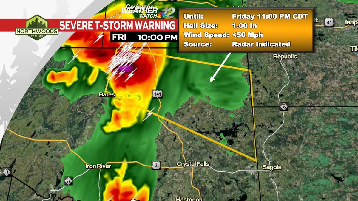
A Severe Thunderstorm Warning has been issued within our viewing area until 9/02 1:45AM CDT.
Check the Weather Watch 12 Weather App or go to www.wjfw.com/weather for more information. #wiwx -
WJFW 12
@WJFW12
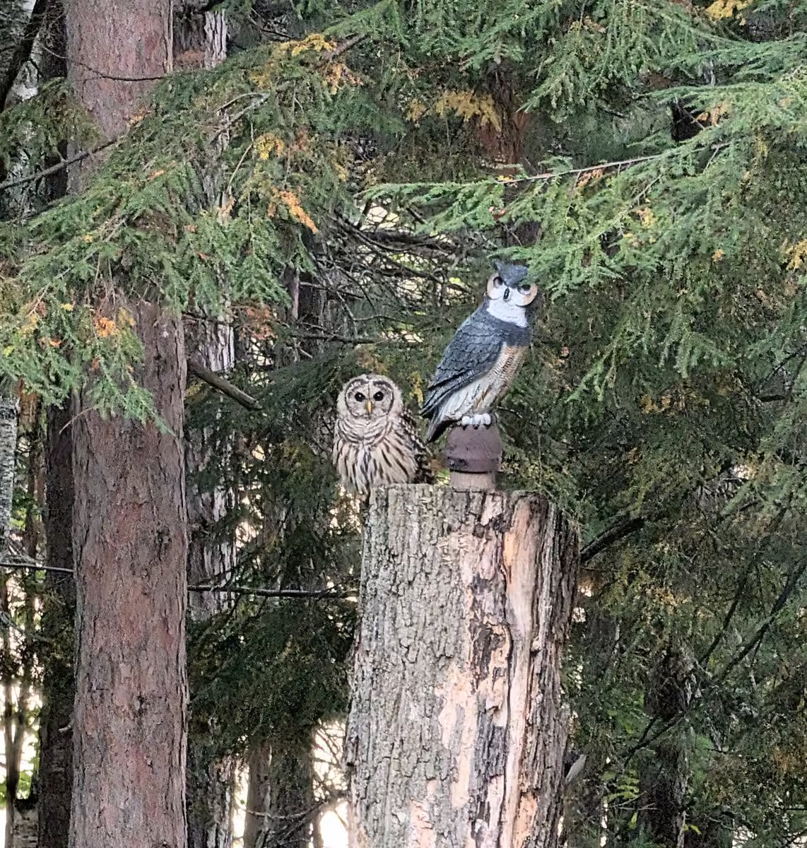
Thank you to Jean Nelson who sent this photo of a barred owl that landed on a dead tree stump next to the owl decoy in their yard by Turner Lake in Price County.
-
WJFW 12 reposted
WLUK-TV FOX 11
@fox11news
The board that oversees Lambeau Field has approved a non-#packers event for 2027. Signs point to a return of #badgers hockey after 21 years.
fox11online.com/sports/packers-and-nfl/lambeau-field-spec… -
WJFW 12 reposted
Meteorologist Devin Biggs
@mtrdevinbiggs
Showers and thunderstorms will move in tomorrow morning along a stalled out front just to the south. Some of the storms could produce large hail, damaging winds, and an isolated tornado. Some isolated storms are possible beforehand, but the main event will move in by 6 AM. #wiwx
-
WJFW 12 reposted
Meteorologist Devin Biggs
@mtrdevinbiggs
A few showers and thunderstorms are possible this evening starting at around 6 PM as a cold front tracks east. The storms will taper off overnight. We'll then become partly cloudy with areas of dense fog. We'll have a slight chance for a shower or storm Tuesday. #wiwx
-
WJFW 12 reposted
Meteorologist Devin Biggs
@mtrdevinbiggs
We'll have lots of sunshine today as highs reach for the low 80s. Friday night lights will not have any issues. The games will be dry with just some clouds. Storms move in Saturday through Monday with on and off chances afterward. #wiwx
-
WJFW 12 reposted
Meteorologist Devin Biggs
@mtrdevinbiggs
Tropical Storm Dolly formed in the Atlantic this morning with maximum sustained winds of 40 mph. It is presently tracking west at 24 mph. Right now it is forecasted to 45 mph as a tropical storm. It is expected to weaken Saturday as it enters a wind shear environment. #dolly
-
WJFW 12 reposted
Meteorologist Devin Biggs
@mtrdevinbiggs
The new #drought monitor has come out and as expected, the drought has gotten worse in Wisconsin. Many parts of the Northwoods and Western Wisconsin are now experiencing severe drought or extreme drought. This is despite some areas seeing beneficial rainfall. #wiwx
-
WJFW 12
@WJFW12
HOUSE FIRE: Upon further investigation, it was determined the fire started in the kitchen of the home. The cause is unknown at this time. www.wjfw.com/news/local/early-morning-house-fire-destroys…
-
WJFW 12
@WJFW12
POLICE CHASE: Officers later learned the other vehicle was Yelbin Alvarez Valerio's ex-girlfriend and believe Alvarez Valerio was chasing her in his vehicle. www.wjfw.com/news/local/wisconsin-rapids-man-arrested-fol…
-
WJFW 12 reposted
Meteorologist Devin Biggs
@mtrdevinbiggs
Showers and a few rumbles of thunder are possible today as an area of low pressure passes just to our north. Lincoln County and areas north will have the best opportunities to see this. Otherwise, we'll be partly cloudy. This will all taper off tonight as we dry out. #wiwx
-
WJFW 12
@WJFW12
As a precaution, nearby homes were evacuated. The affected section of pipeline has been isolated, and local emergency responders and hazmat teams are on-site. www.wjfw.com/news/local/nearby-homes-evacuated-after-semi…
-
WJFW 12
@WJFW12
RESCUE: Both people were hoisted to safety by Gogebic County Search and Rescue Team with only minor injuries. www.wjfw.com/news/regional/two-people-rescued-after-going…
-
WJFW 12 reposted
Meteorologist Devin Biggs
@mtrdevinbiggs
Our best shower and thunderstorm opportunities will arrive tonight just before midnight and track east before clearing the area. We'll catch a break before more showers and thunderstorms arrive just in time for Wednesday afternoon. #wiwx
-
WJFW 12 reposted
Meteorologist Devin Biggs
@mtrdevinbiggs
Temperatures got rather cool this morning as many places saw lows in the 30s. Land O' Lakes, you were the official winner for coldest temperature as you fell to 34º. We will not do this again for a little while with low temperatures in the 40s and 50s. #wiwx
-
WJFW 12 reposted
Meteorologist Devin Biggs
@mtrdevinbiggs
The new drought monitor came out this morning and to no surprise, conditions have worsened across the area. An extreme drought category has now been added to north-central Wisconsin. There is an opportunity for showers and thunderstorms tonight. #wiwx
-
WJFW 12 reposted
Meteorologist Devin Biggs
@mtrdevinbiggs
We had some cool temperatures this morning across the Northwoods. Temperatures in a few areas fell into the upper 30s in Manitowish Waters, Land O' Lakes, Tomahawk, and Hayward. Other areas stayed in the 40s and 50s. Highs today will reach for the 70s. #wiwx
-
WJFW 12 reposted
Meteorologist Devin Biggs
@mtrdevinbiggs
It's not the strongest chance, but opportunities do exist for a few showers and thunderstorms this afternoon as a cold front passes through. Any precipitation we get will surely be welcome as we continue to deal with drought conditions across the area. #wiwx
-
WJFW 12
@WJFW12
The 100-by-100-foot hangar, located next to the airport's new terminal, is home to Park City Aviation and will serve as a hub for aircraft maintenance and repairs. www.wjfw.com/news/merrill-municipal-airport-opening-new-h…
-
WJFW 12
@WJFW12
With drought conditions not showing any signs of slowing down in Wisconsin, oak trees have started to struggle under the stress of the heat and other pests.
“In the last five years, it's been really tough to be an oak tree." www.wjfw.com/news/local/oak-trees-struggling-in-wisconsin… -
WJFW 12 reposted
Meteorologist Devin Biggs
@mtrdevinbiggs
Lots of sunshine today with highs in the low 80s. Much needed rain moves in tonight and again on Tuesday. We then dry out Wednesday through Thursday before we get some more rain Friday and again on Saturday. Sunday will then be another dry day. #wiwx
-
WJFW 12 reposted
Meteorologist Devin Biggs
@mtrdevinbiggs
Here's another look at the drought monitor that came out yesterday. The big headline for Wisconsin was a huge expansion of the moderate drought. Our entire viewing area is now in it. The drought is expected to worsen with low rain chances in the forecast. #wiwx
-
WJFW 12 reposted
Meteorologist Devin Biggs
@mtrdevinbiggs
The new drought monitor has come out and as expected, conditions have worsened across the state. The main focus is with the moderate drought; which has spread drastically between last week and this week. Lots of vegetation is dead or stressed. We really need rain. #wiwx
-
WJFW 12
@WJFW12
China’s import tariffs are still affecting local ginseng farmers. www.wjfw.com/news/local/ginseng-farmers-in-marathon-count…
-
WJFW 12
@WJFW12
More showers and thunderstorms are expected tomorrow but cloud cover early on should limit any chances for severe weather. Best chances for beneficial rainfall across the state look to arrive Saturday evening.
-
WJFW 12
@WJFW12
A Severe Thunderstorm Warning has been issued within our viewing area until 8/12 2:30AM CDT.
Check the Weather Watch 12 Weather App or go to www.wjfw.com/weather for more information. #wiwx -
WJFW 12
@WJFW12
A Severe Thunderstorm Warning has been issued within our viewing area until 8/12 1:45AM CDT.
Check the Weather Watch 12 Weather App or go to www.wjfw.com/weather for more information. #wiwx -
WJFW 12
@WJFW12
A Severe Thunderstorm Warning has been issued within our viewing area until 8/12 1:45AM CDT.
Check the Weather Watch 12 Weather App or go to www.wjfw.com/weather for more information. #wiwx -
WJFW 12
@WJFW12
A Severe Thunderstorm Warning has been issued within our viewing area until 8/12 1:30AM CDT.
Check the Weather Watch 12 Weather App or go to www.wjfw.com/weather for more information. #wiwx -
WJFW 12
@WJFW12
A Severe Thunderstorm Warning has been issued within our viewing area until 8/12 1:30AM CDT.
Check the Weather Watch 12 Weather App or go to www.wjfw.com/weather for more information. #wiwx -
WJFW 12
@WJFW12
A Severe Thunderstorm Warning has been issued within our viewing area until 8/12 1:00AM CDT.
Check the Weather Watch 12 Weather App or go to www.wjfw.com/weather for more information. #wiwx -
WJFW 12
@WJFW12
A Severe Thunderstorm Warning has been issued within our viewing area until 8/12 12:30AM CDT.
Check the Weather Watch 12 Weather App or go to www.wjfw.com/weather for more information. #wiwx -
WJFW 12
@WJFW12
A Severe Thunderstorm Warning has been issued within our viewing area until 8/11 11:45PM CDT.
Check the Weather Watch 12 Weather App or go to www.wjfw.com/weather for more information. #wiwx -
WJFW 12
@WJFW12
We are back in the 80s today to kick off the work week. A few storms look possible in our southern counties tomorrow morning, otherwise best chances for T-storms will be 6-8PM tomorrow evening across North Central Wisconsin and will linger into Wednesday.
-
WJFW 12
@WJFW12
A Severe Thunderstorm Warning has been issued within our viewing area until 8/07 7:00PM EDT.
Check the Weather Watch 12 Weather App or go to www.wjfw.com/weather for more information. #wiwx -
WJFW 12
@WJFW12
A Severe Thunderstorm Warning has been issued within our viewing area until 8/07 6:30PM EDT.
Check the Weather Watch 12 Weather App or go to www.wjfw.com/weather for more information. #wiwx -
WJFW 12 reposted
Meteorologist Devin Biggs
@mtrdevinbiggs
Showers and thunderstorms will be approaching the viewing area starting at around 4 PM and moving through at 5-6 PM. Heavy downpours, gusty winds, and hail will be expected with these storms. With many events going on, make sure to monitor conditions as you head out. #wiwx
-
WJFW 12 reposted
Meteorologist Devin Biggs
@mtrdevinbiggs
Showers and thunderstorms are expected to move into the area Friday afternoon and last through the evening. Some of the storms may get on the stronger side and produce gusty winds and hail. While the rain will be beneficial, we can make do without the drama. #wiwx
-
WJFW 12 reposted
Meteorologist Devin Biggs
@mtrdevinbiggs
The new drought monitor is out and as expected, conditions have worsened in the Northwoods while southern Wisconsin saw some improved. We have a shot at some thunderstorms Friday afternoon into the evening. #wiwx
-
WJFW 12 reposted
Meteorologist Devin Biggs
@mtrdevinbiggs
Most of us will be dry today with a partly cloudy sky. Our southern counties will have a slight chance for a shower or thunderstorm. Afternoon showers and thunderstorms will exist Friday with more storms Friday night. We'll have storms again Saturday night and again Monday. #wiwx
-
WJFW 12 reposted
Meteorologist Devin Biggs
@mtrdevinbiggs
Much needed rain has moved into the Northwoods this morning. The precipitation has also been accompanied with some lightning and thunder. The thundershowers will clear out later on today as the sky becomes partly cloudy. #wiwx
-
WJFW 12
@WJFW12
Protesters gathered outside of McMillan Memorial Library near downtown Wisconsin Rapids, voicing their dismay for data center development on the former Rapids Mill site.
www.wjfw.com/news/local/wisconsin-rapids-residents-protes… -
WJFW 12
@WJFW12
A group of retired educators taught people about the pioneer times at the Three Lakes Historical Museum Tuesday. www.wjfw.com/news/local/retired-teachers-bring-pioneer-ti…
-
WJFW 12 reposted
Meteorologist Devin Biggs
@mtrdevinbiggs
Drought conditions continue to develop across the viewing area. This drought monitor was released Thursday. Observations will be taken Tuesday with the new map released Thursday. With the way the forecast is looking, expect this map to worsen this week. #wiwx
-
WJFW 12 reposted
Meteorologist Devin Biggs
@mtrdevinbiggs
The new drought monitor is out and it confirms what many of us are saying. We need rain! Severe drought has developed in northern Wisconsin and in the U.P. Some of these areas saw rain recently. We need a lot more. Showers and thunderstorms are in the forecast Friday. #wiwx
-
WJFW 12 reposted
Meteorologist Devin Biggs
@mtrdevinbiggs
An amazing view of what appears to be a roll cloud moving through Tomahawk right now. They are a rare, low-level, horizontal, tube-shaped arcus cloud that stays completely detached from storm bases. In this case, there are no storms moving through Tomahawk right now. #wiwx
-
WJFW 12 reposted
Meteorologist Devin Biggs
@mtrdevinbiggs
A deteriorating shower is tracking in a southeast direction this morning. At one point, it was an impressive thunderstorm over Lake Superior and the U.P. Some new development out ahead of this shower will send some needed rainfall to Forest and Oneida Counties. #wiwx
-
WJFW 12
@WJFW12
A Flood (FA) Advisory has been issued within our viewing area until Jul 30 9:15AM EDT.
Check the Weather Watch 12 Weather App or go to www.wjfw.com/weather for more information. #wiwx -
WJFW 12 reposted
Reed Timmer, PhD
@ReedTimmerUSA
The Appleton-Menasha, Wisconsin #tornado has already been upgraded to at least an EF3 with 0.85 mile width and 12 mile-long path. I would not be surprised at all to see upgrade to EF4. Stay tuned
This media couldn't be displayed. See it on the original post. -
WJFW 12 reposted
Meteorologist Devin Biggs
@mtrdevinbiggs
A much nicer day is in store for us. We'll have lots of sunshine as highs reach for the low 80s. Partly cloudy Wednesday with highs reaching for the mid 80s and the humidity cranking back up. We'll also have a small chance for storms Wednesday night. #wiwx
-
WJFW 12 reposted
Meteorologist Devin Biggs
@mtrdevinbiggs
The tornado that touched down north of Menasha and tracked south has been upped to an EF-3 with peak winds of around 140 mph. The most severe damage was near US 10/highway 441 in north Menasha. No fatalities have been confirmed at this time. #wiwx
-
WJFW 12
@WJFW12
With 45 mph winds and quarter-sized hail, the storm knocked over trees and caused multiple fires with lightning strikes in Eagle River. www.wjfw.com/news/local/severe-storms-batter-eagle-river-…
-
WJFW 12
@WJFW12
STORM DAMAGE Bent's Camp Resort and Lodge Restaurant had several trees uprooted and snapped off during a powerful storm that damaged their patio and stage. www.wjfw.com/news/local/powerful-monday-morning-storm-cau…
-
WJFW 12 reposted
-
WJFW 12 reposted
Mr ashen
@TheOfficialMrA1
Longer footage, it seems Appleton got absolutely slammed..#tornado
-
WJFW 12
@WJFW12
A Severe Thunderstorm Warning has been issued within our viewing area until 7/27 11:30AM CDT.
Check the Weather Watch 12 Weather App or go to www.wjfw.com/weather for more information. #wiwx -
WJFW 12
@WJFW12
A Severe Thunderstorm Warning has been issued within our viewing area until 7/27 11:15AM CDT.
Check the Weather Watch 12 Weather App or go to www.wjfw.com/weather for more information. #wiwx -
WJFW 12
@WJFW12
A Severe Thunderstorm Warning has been issued within our viewing area until 7/27 11:00AM CDT.
Check the Weather Watch 12 Weather App or go to www.wjfw.com/weather for more information. #wiwx -
WJFW 12
@WJFW12
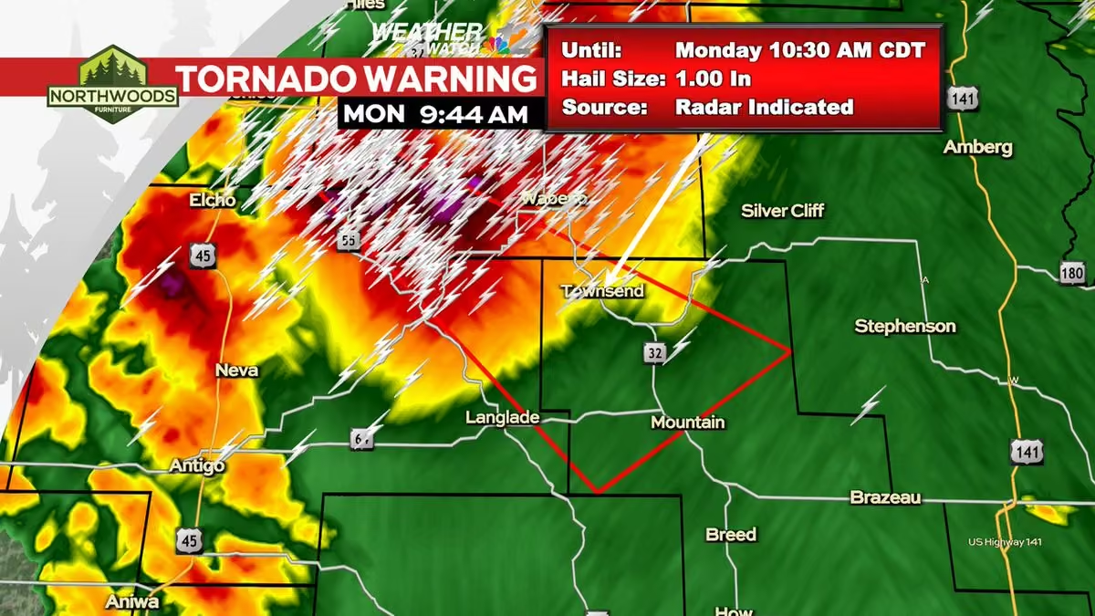
A Tornado Warning has been issued within our viewing area until Jul 27 10:30AM CDT.
Check the Weather Watch 12 Weather App or go to www.wjfw.com/weather for more information. #wiwx -
WJFW 12
@WJFW12
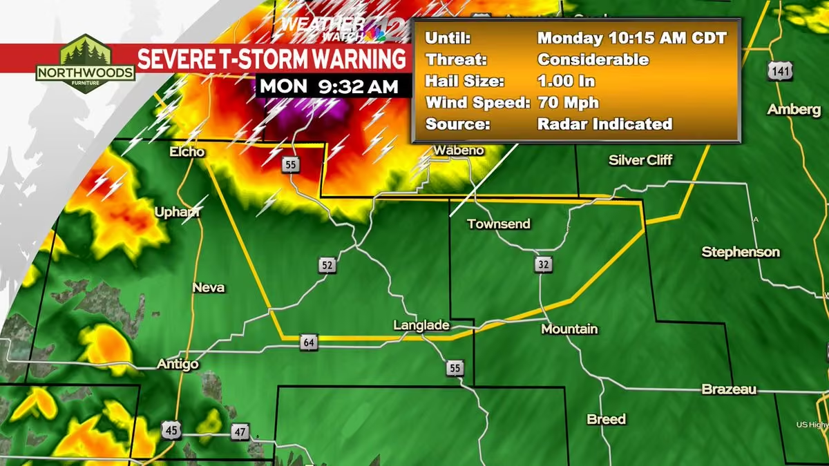
A Severe Thunderstorm Warning has been issued within our viewing area until 7/27 10:15AM CDT.
Check the Weather Watch 12 Weather App or go to www.wjfw.com/weather for more information. #wiwx -
WJFW 12
@WJFW12
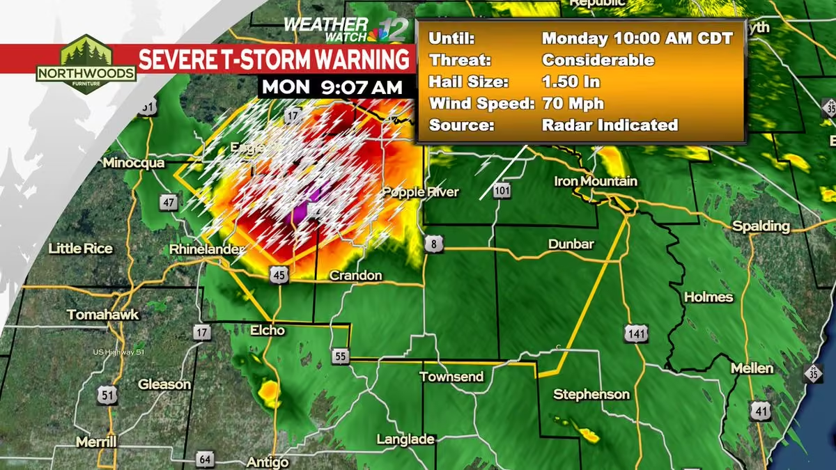
A Severe Thunderstorm Warning has been issued within our viewing area until 7/27 10:00AM CDT.
Check the Weather Watch 12 Weather App or go to www.wjfw.com/weather for more information. #wiwx -
WJFW 12
@WJFW12
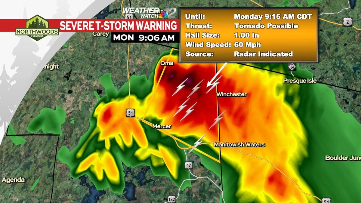
A Severe Thunderstorm Warning has been issued within our viewing area until 7/27 9:15AM CDT.
Check the Weather Watch 12 Weather App or go to www.wjfw.com/weather for more information. #wiwx -
WJFW 12
@WJFW12
A Severe Thunderstorm Warning has been issued within our viewing area until 7/27 9:15AM CDT.
Check the Weather Watch 12 Weather App or go to www.wjfw.com/weather for more information. #wiwx -
WJFW 12
@WJFW12
A Severe Thunderstorm Warning has been issued within our viewing area until 7/27 9:00AM CDT.
Check the Weather Watch 12 Weather App or go to www.wjfw.com/weather for more information. #wiwx -
WJFW 12 reposted
Meteorologist Devin Biggs
@mtrdevinbiggs
It is a busy morning in the U.P. where Severe T-Storm Warnings and Special Marine Warnings are in effect. These storms are tracking southeast and will pass through parts of our viewing area this morning. Once this afternoon arrives, the storms clear and things calms down. #wiwx
-
WJFW 12
@WJFW12
A Severe Thunderstorm Warning has been issued within our viewing area until 7/27 9:45AM EDT.
Check the Weather Watch 12 Weather App or go to www.wjfw.com/weather for more information. #wiwx -
WJFW 12
@WJFW12
A Severe Thunderstorm Warning has been issued within our viewing area until 7/27 8:30AM CDT.
Check the Weather Watch 12 Weather App or go to www.wjfw.com/weather for more information. #wiwx -
WJFW 12
@WJFW12
A Severe Thunderstorm Warning has been issued within our viewing area until 7/27 9:30AM EDT.
Check the Weather Watch 12 Weather App or go to www.wjfw.com/weather for more information. #wiwx -
WJFW 12
@WJFW12
A Severe Thunderstorm Warning has been issued within our viewing area until 7/27 9:30AM EDT.
Check the Weather Watch 12 Weather App or go to www.wjfw.com/weather for more information. #wiwx -
WJFW 12
@WJFW12
A Severe Thunderstorm Warning has been issued within our viewing area until 7/27 8:30AM EDT.
Check the Weather Watch 12 Weather App or go to www.wjfw.com/weather for more information. #wiwx -
WJFW 12
@WJFW12
A Severe Thunderstorm Warning has been issued within our viewing area until 7/27 4:00AM CDT.
Check the Weather Watch 12 Weather App or go to www.wjfw.com/weather for more information. #wiwx -
WJFW 12 reposted
Meteorologist Devin Biggs
@mtrdevinbiggs
Scattered strong to severe thunderstorms will be expected tonight as low pressure approaches from the northwest. Any of the storms that go up will be capable of producing large hail, damaging winds, and isolated tornadoes. The timing on initiation is between 8 PM and 12 AM. #wiwx
-
WJFW 12 reposted
Meteorologist Devin Biggs
@mtrdevinbiggs
We're dry today with a partly cloudy sky and highs in the upper 70s. Thunderstorms exist this weekend and some of those could turn strong to severe as temperatures heat up. Storms continue into Monday and again on Wednesday. #wiwx
-
WJFW 12 reposted
Meteorologist Devin Biggs
@mtrdevinbiggs
The pacific northwest is dealing with lots of wildfires right now. As a result, smoke is being emitted into the atmosphere. The jet stream is catching that smoke and carrying it into the upper Midwest and into Canada. We'll see that smoke this weekend. #wiwx
-
WJFW 12 reposted
Meteorologist Devin Biggs
@mtrdevinbiggs
Lots of smoke originating from the pacific northwest as wildfires continue to burn. This time around, the smoke is going into Canada as the jet stream picks it up. We'll see some elevated smoke starting late Friday afternoon into Saturday. #wiwx
-
WJFW 12 reposted
Meteorologist Devin Biggs
@mtrdevinbiggs
We had another cool start this morning as temperatures fell into the 40s. Temperatures will rebound into the upper 70s today with lots of sunshine and some passing clouds. 80s return as we head into your Friday. #wiwx
-
WJFW 12 reposted
Meteorologist Devin Biggs
@mtrdevinbiggs
High pressure is helping to keep us dry this morning. A surface trough right nearby is helping to usher in some clouds. We'll be mostly sunny to partly cloudy today as highs remain below normal in the low 70s. The clouds will clear the area tonight. #wiwx
-
WJFW 12 reposted
Meteorologist Devin Biggs
@mtrdevinbiggs
Temperatures last night into early this morning got rather cool. Some areas saw lows in the upper 30s to low 40s as the clouds cleared out overnight. Temperatures are expected to cool into the upper 40s tonight as the clouds clear out again. #wiwx
-
WJFW 12
@WJFW12
"DISABILITY DOES NOT MEAN INABILITY": For Limbitless Wisconsin and the people they serve, pilot Jessica Cox represents who and what they can aspire to be and having no ceiling on their dreams.
www.wjfw.com/news/regional/worlds-first-armless-pilot-ins… -
WJFW 12
@WJFW12
The kids program the robots themselves to take on maze navigation and BattleBots challenges.
“Beyond all the STEM, we really focus on teamwork. “They have to work as a team; they have to learn to collaborate and they learn a lot of those life skills.” www.wjfw.com/news/local/oneida-county-4-h-robo-camp-spark… -
WJFW 12 reposted
Meteorologist Devin Biggs
@mtrdevinbiggs
Showers are expected today as a secondary cold front passes through. High temperatures will only reach for the upper 60s. Some lower 70s will be reached further south. We'll hit the mid 40s tonight as we clear out. Temperatures warm throughout the next several days. #wiwx
-
WJFW 12 reposted
Meteorologist Devin Biggs
@mtrdevinbiggs
Showers are approaching from the northwest this morning as low pressure continues to track northeast in Canada. This will keep temperatures down as a secondary cold front passes through. We'll see highs in the upper 60s today and lows in the mid 40s tonight. #wiwx
-
WJFW 12
@WJFW12
A Tornado Warning has been issued within our viewing area until Jul 20 9:45PM CDT.
Check the Weather Watch 12 Weather App or go to www.wjfw.com/weather for more information. #wiwx -
WJFW 12
@WJFW12
A Tornado Warning has been issued within our viewing area until Jul 20 9:00PM CDT.
Check the Weather Watch 12 Weather App or go to www.wjfw.com/weather for more information. #wiwx -
WJFW 12
@WJFW12
A Tornado Warning has been issued within our viewing area until Jul 20 8:45PM CDT.
Check the Weather Watch 12 Weather App or go to www.wjfw.com/weather for more information. #wiwx -
WJFW 12
@WJFW12
A Tornado Warning has been issued within our viewing area until Jul 20 8:45PM CDT.
Check the Weather Watch 12 Weather App or go to www.wjfw.com/weather for more information. #wiwx -
WJFW 12
@WJFW12
A Tornado Warning has been issued within our viewing area until Jul 20 8:30PM CDT.
Check the Weather Watch 12 Weather App or go to www.wjfw.com/weather for more information. #wiwx -
WJFW 12
@WJFW12
A Tornado Warning has been issued within our viewing area until Jul 20 8:15PM CDT.
Check the Weather Watch 12 Weather App or go to www.wjfw.com/weather for more information. #wiwx -
WJFW 12
@WJFW12
A Tornado Warning has been issued within our viewing area until Jul 20 8:15PM CDT.
Check the Weather Watch 12 Weather App or go to www.wjfw.com/weather for more information. #wiwx -
WJFW 12
@WJFW12
A Severe Thunderstorm Warning has been issued within our viewing area until 7/20 8:15PM CDT.
Check the Weather Watch 12 Weather App or go to www.wjfw.com/weather for more information. #wiwx -
WJFW 12
@WJFW12
A Severe Thunderstorm Warning has been issued within our viewing area until 7/20 6:00PM CDT.
Check the Weather Watch 12 Weather App or go to www.wjfw.com/weather for more information. #wiwx -
WJFW 12
@WJFW12
A Severe Thunderstorm Warning has been issued within our viewing area until 7/20 5:45PM CDT.
Check the Weather Watch 12 Weather App or go to www.wjfw.com/weather for more information. #wiwx -
WJFW 12
@WJFW12
A Tornado Warning has been issued within our viewing area until Jul 20 5:15PM CDT.
Check the Weather Watch 12 Weather App or go to www.wjfw.com/weather for more information. #wiwx -
WJFW 12
@WJFW12
A Severe Thunderstorm Warning has been issued within our viewing area until 7/20 5:15PM CDT.
Check the Weather Watch 12 Weather App or go to www.wjfw.com/weather for more information. #wiwx -
WJFW 12
@WJFW12
A Severe Thunderstorm Warning has been issued within our viewing area until 7/20 11:00AM EDT.
Check the Weather Watch 12 Weather App or go to www.wjfw.com/weather for more information. #wiwx -
WJFW 12 reposted
Meteorologist Devin Biggs
@mtrdevinbiggs
While we're just seeing some showers in northern Wisconsin this morning, it's a different story in the U.P. where severe weather is presently occurring. More will be possible later today as an area of low pressure moves in from Canada. #wiwx
-
WJFW 12
@WJFW12
A Severe Thunderstorm Warning has been issued within our viewing area until 7/20 9:30AM CDT.
Check the Weather Watch 12 Weather App or go to www.wjfw.com/weather for more information. #wiwx -
WJFW 12
@WJFW12
A Severe Thunderstorm Warning has been issued within our viewing area until 7/20 9:15AM CDT.
Check the Weather Watch 12 Weather App or go to www.wjfw.com/weather for more information. #wiwx -
WJFW 12 reposted
Meteorologist Devin Biggs
@mtrdevinbiggs
Wildfire smoke continues to linger today, but we do have some good news. An area of low pressure moving through Canada will push the wildfire smoke out of here late tonight into early tomorrow morning. We'll have much cleaner air Tuesday into Wednesday. #wiwx
-
WJFW 12
@WJFW12
A Severe Thunderstorm Warning has been issued within our viewing area until 7/20 9:45AM EDT.
Check the Weather Watch 12 Weather App or go to www.wjfw.com/weather for more information. #wiwx -
WJFW 12
@WJFW12
A Severe Thunderstorm Warning has been issued within our viewing area until 7/17 10:00PM CDT.
Check the Weather Watch 12 Weather App or go to www.wjfw.com/weather for more information. #wiwx -
WJFW 12
@WJFW12
A Tornado Warning has been issued within our viewing area until Jul 17 8:45PM CDT.
Check the Weather Watch 12 Weather App or go to www.wjfw.com/weather for more information. #wiwx -
WJFW 12
@WJFW12
A Severe Thunderstorm Warning has been issued within our viewing area until 7/17 8:45PM CDT.
Check the Weather Watch 12 Weather App or go to www.wjfw.com/weather for more information. #wiwx -
WJFW 12
@WJFW12
A Severe Thunderstorm Warning has been issued within our viewing area until 7/17 8:00PM CDT.
Check the Weather Watch 12 Weather App or go to www.wjfw.com/weather for more information. #wiwx -
WJFW 12
@WJFW12
A Severe Thunderstorm Warning has been issued within our viewing area until 7/17 7:00PM CDT.
Check the Weather Watch 12 Weather App or go to www.wjfw.com/weather for more information. #wiwx -
WJFW 12
@WJFW12
A Severe Thunderstorm Warning has been issued within our viewing area until 7/17 6:15PM CDT.
Check the Weather Watch 12 Weather App or go to www.wjfw.com/weather for more information. #wiwx -
WJFW 12
@WJFW12
TUNE IN TONIGHT: We are live at Wisconsin State Water Ski Championships in Wisconsin Rapids. Watch our Long Summer Weekend Shows tonight with Up North @ 4 and Newswatch 12 at 5 & 6.
-
WJFW 12 reposted
Meteorologist Devin Biggs
@mtrdevinbiggs
There's good news and bad news. Let's start with the good news. The smoke will be clearing out later today as a warm front tracks northeast. That will create a gusty southwest breeze and push the smoke northeast. The bad news, more smoke is on the way this weekend. #wiwx
-
WJFW 12 reposted
Meteorologist Devin Biggs
@mtrdevinbiggs
Well, just like yesterday, somewhere in here is the flag pole. It's even harder to find this morning. The good news, a warm front southwest will push the smoke out of here by midday. Bad news, a cold front will pass through tonight and usher in more smoke for the weekend. #wiwx
-
WJFW 12 reposted
Meteorologist Devin Biggs
@mtrdevinbiggs
"Very Unhealthy" to "Hazardous" air quality continuous to occur in Wisconsin, Minnesota, and Michigan this morning. This will be the theme as high pressure keeps the wind calm. Make sure to take proper precautions if you have to be outside today by wearing an N95 mask. #wiwx
-
WJFW 12 reposted
Meteorologist Devin Biggs
@mtrdevinbiggs
Smoke will start to clear the area Friday as a warm front tracks in from the southwest. Humidity levels will climb, but the winds will also turn out of the southwest. The winds will be key to pushing the smoke out of here. We may get a small wave early Saturday morning. #wiwx
-
WJFW 12 reposted
Meteorologist Devin Biggs
@mtrdevinbiggs
We have another day of thick wildfire smoke in the Northwoods. It is creating "very unhealthy" to "hazardous" air quality in the Northwoods. We'll hold onto the smoke today as the winds go light. The winds start to pick up in general out of the south tonight into tomorrow. #wiwx
-
WJFW 12 reposted
Meteorologist Devin Biggs
@mtrdevinbiggs
The wildfire smoke is really showing up on the visible satellite picture. It gets thicker the further north you go. In addition to reports of people going to the hospital for breathing issues, in the U.P., some people have witnessed ash falling from these fires. #wiwx
-
WJFW 12 reposted
Meteorologist Devin Biggs
@mtrdevinbiggs
As we approach the 11 AM hour, looks like AirNow is getting some of the data flow back in order. Air Quality is in the "Very Unhealthy" to "Hazardous" levels across the Northwoods and U.P. There's a measuring site at the Forest County Potawatomi. #wiwx
-
WJFW 12 reposted
Meteorologist Devin Biggs
@mtrdevinbiggs
Air Quality Advisories remain posted as a result of wild fire smoke that continues to push into the state. Air quality in the Northwoods and the U.P. is considered unhealthy for everyone across the board. Duluth and northeast Minnesota is considered very unhealthy. #wiwx
-
WJFW 12 reposted
Meteorologist Devin Biggs
@mtrdevinbiggs
The wildfire smoke has moved in and it is causing air quality problems across the region. Air quality advisories have been posted across the state as a result. Please limit time outdoors if you can. Breathing too much of this smoke in will cause issues. #wiwx
-
WJFW 12
@WJFW12
DEBATE: Chris Armstrong speaks on topic of his choosing.
-
WJFW 12
@WJFW12
Ginger Murray speaks on a topic of her choosing.
-
WJFW 12
@WJFW12
DEBATE: Fred Clark discusses topic not brought up during debate and talks about federal agencies being 'slashed'
This media couldn't be displayed. See it on the original post. -
WJFW 12
@WJFW12
Chris Armstrong on helping Wisconsin's farmers.
This media couldn't be displayed. See it on the original post. -
WJFW 12
@WJFW12
Ginger Murray speaks on how the federal government can support farmers.
-
WJFW 12
@WJFW12
DEBATE: Fred Clark responds on how the federal government can help struggling #wisconsin #farmers
This media couldn't be displayed. See it on the original post. -
WJFW 12
@WJFW12
DEBATE: Chris Armstrong speaks about the future of U.S. involvement in Iran.
This media couldn't be displayed. See it on the original post. -
WJFW 12
@WJFW12
7TH CONGRESSIONAL DISTRICT DEMOCRATIC DEBATE: Chris Armstrong on how the Federal Government should support Northwoods Loggers.
-
WJFW 12
@WJFW12
DEMOCRATIC DEBATE: Chris Armstrong on how he would make healthcare more affordable.
This media couldn't be displayed. See it on the original post. -
WJFW 12
@WJFW12
Ginger Murray on how the federal government can support northwoods loggers.
-
WJFW 12
@WJFW12
7TH CONGRESSIONAL DISTRICT DEMOCRATIC DEBATE: Fred Clark talks on how to help support Northwoods loggers and the logging industry vital to the Northwoods.
This media couldn't be displayed. See it on the original post. -
WJFW 12
@WJFW12
7TH CONGRESSIONAL DISTRICT DEMOCRATIC DEBATE: Fred Clark responds on U.S. increased tension again in recent days with Iran
This media couldn't be displayed. See it on the original post. -
WJFW 12
@WJFW12
Ginger Murray speaks about the growing tension with Iran.
-
WJFW 12
@WJFW12
7TH CONGRESSIONAL DISTRICT DEMOCRATIC DEBATE: Fred Clark responds on how he would make health care more affordable.
This media couldn't be displayed. See it on the original post. -
WJFW 12
@WJFW12
Ginger Murray on how to make health care more affordable.
-
WJFW 12 reposted
Meteorologist Devin Biggs
@mtrdevinbiggs
Smoke from wildfires in Canada and Minnesota will get pushed in by a cold front up north starting tonight and continuing through at least Thursday if not longer. Air quality is expected to deteriorate as a result of the smoke. #wiwx
-
WJFW 12 reposted
Meteorologist Devin Biggs
@mtrdevinbiggs
We have a crystal clear start across the viewing area this morning. Heat Advisories and Extreme Heat Warnings are posted as temperatures and humidity levels are expected to make it very hot today. Take precautions as you go outside today. #wiwx
-
WJFW 12
@WJFW12
A Severe Thunderstorm Warning has been issued within our viewing area until 7/12 12:30PM CDT.
Check the Weather Watch 12 Weather App or go to www.wjfw.com/weather for more information. #wiwx -
WJFW 12 reposted
Meteorologist Devin Biggs
@mtrdevinbiggs
Partly cloudy today with an isolated chance for a shower or thunderstorm this afternoon. That chance will also exist on Saturday. Both will be located in the Northwoods. We'll be dry Sunday through Wednesday. Humidity levels will gradually climb over the next several days. #wiwx
-
WJFW 12 reposted
Meteorologist Devin Biggs
@mtrdevinbiggs
The UV Index Forecast for today will be at a 9. That's a burn time of simply 15 minutes. It will be very easy to get a sunburn without the proper protection. We will have some clouds pass through at times today which will help to drop the UV Index intermittently. #wiwx
-
WJFW 12
@WJFW12
A Severe Thunderstorm Warning has been issued within our viewing area until 7/08 8:30PM CDT.
Check the Weather Watch 12 Weather App or go to www.wjfw.com/weather for more information. #wiwx -
WJFW 12
@WJFW12
A Flood (FA) Advisory has been issued within our viewing area until Jul 08 8:15PM CDT.
Check the Weather Watch 12 Weather App or go to www.wjfw.com/weather for more information. #wiwx -
WJFW 12
@WJFW12
A Flood (FA) Advisory has been issued within our viewing area until Jul 08 8:15PM CDT.
Check the Weather Watch 12 Weather App or go to www.wjfw.com/weather for more information. #wiwx -
WJFW 12
@WJFW12
A Flood (FA) Advisory has been issued within our viewing area until Jul 08 5:45PM CDT.
Check the Weather Watch 12 Weather App or go to www.wjfw.com/weather for more information. #wiwx -
WJFW 12
@WJFW12
A Severe Thunderstorm Warning has been issued within our viewing area until 7/08 4:00PM CDT.
Check the Weather Watch 12 Weather App or go to www.wjfw.com/weather for more information. #wiwx -
WJFW 12
@WJFW12
A Severe Thunderstorm Warning has been issued within our viewing area until 7/08 3:45PM CDT.
Check the Weather Watch 12 Weather App or go to www.wjfw.com/weather for more information. #wiwx -
WJFW 12
@WJFW12
A Flood (FA) Advisory has been issued within our viewing area until Jul 08 5:45PM CDT.
Check the Weather Watch 12 Weather App or go to www.wjfw.com/weather for more information. #wiwx -
WJFW 12
@WJFW12
A Severe Thunderstorm Warning has been issued within our viewing area until 7/08 3:15PM CDT.
Check the Weather Watch 12 Weather App or go to www.wjfw.com/weather for more information. #wiwx -
WJFW 12 reposted
Meteorologist Devin Biggs
@mtrdevinbiggs
A cold front passing through today will allow showers and thunderstorms to develop again this afternoon and last into the evening. Some of the storms will turn strong to severe and produce large hail, damaging winds, and isolated tornadoes. #wiwx
-
WJFW 12
@WJFW12
A Severe Thunderstorm Warning has been issued within our viewing area until 7/08 4:00AM CDT.
Check the Weather Watch 12 Weather App or go to www.wjfw.com/weather for more information. #wiwx -
WJFW 12
@WJFW12
Jessi Ebben speaking on an important issue that was not discussed during the debate.
This media couldn't be displayed. See it on the original post. -
WJFW 12
@WJFW12
Niina Baum discussing issues important to her that were not brought up during the debate.
-
WJFW 12
@WJFW12
Michael Alfonso addressing an issue important to him that was not discussed during the debate.
-
WJFW 12
@WJFW12
Hermening on delisting the Gray Wolf
-
WJFW 12
@WJFW12
Alfonso on delisting the Gray Wolf
-
WJFW 12
@WJFW12
Baum on delisting the Gray Wolf
-
WJFW 12
@WJFW12
Baum on invoking the War Powers Resolution regarding the Iran War
-
WJFW 12
@WJFW12
Alfonso on the future of U.S. foreign policy in Iran
-
WJFW 12
@WJFW12
Jessi Ebben on the war in Iran
-
WJFW 12
@WJFW12
DEBATE UPDATE: Kevin Hermening outlines his view on U.S. Military action in Iran.
-
WJFW 12
@WJFW12
DEBATE UPDATE: Hermening's response on accepting money from POW fund.
This media couldn't be displayed. See it on the original post. -
WJFW 12
@WJFW12
DEBATE UPDATE: Michael Alfonso answers question regarding previous political experience
This media couldn't be displayed. See it on the original post. -
WJFW 12
@WJFW12
7th Congressional District Republican Debate: Candidate Niina Baum responds to if she would align with President Trump's priorities
-
WJFW 12 reposted
Meteorologist Devin Biggs
@mtrdevinbiggs
Partly cloudy today with a slight chance for an afternoon shower or thunderstorm. Those opportunities will increase tonight into tomorrow morning. That round could get on the stronger side. Another round moves in Wednesday afternoon. That round could turn strong to severe. #wiwx
-
WJFW 12 reposted
Meteorologist Devin Biggs
@mtrdevinbiggs
Mostly sunny today as highs reach for the mid 80s. A cold front will slowly edge east on Tuesday. A few thunderstorms will develop during the afternoon as highs again reach for the mid 80s. Showers and thunderstorms pick up Wednesday and Thursday before ending Friday. #wiwx
-
WJFW 12
@WJFW12
A Flood (FA) Advisory has been issued within our viewing area until Jul 03 10:45PM EDT.
Check the Weather Watch 12 Weather App or go to www.wjfw.com/weather for more information. #wiwx -
WJFW 12
@WJFW12
A Flood (FA) Advisory has been issued within our viewing area until Jul 03 10:00PM EDT.
Check the Weather Watch 12 Weather App or go to www.wjfw.com/weather for more information. #wiwx -
WJFW 12 reposted
Meteorologist Devin Biggs
@mtrdevinbiggs
Wildfire smoke is unfortunately returning to the region, but from a different area. The smoke is originating from Colorado as a large dome of high pressure steers it in our direction. If any good news, little to no smoke is expected to reach the surface. #wiwx
-
WJFW 12 reposted
Meteorologist Devin Biggs
@mtrdevinbiggs
Fog remains an issue this morning as it reduces visibility in many areas along and north of Lincoln County. If you are traveling this morning, please be prepared for sudden drops in visibility. Conditions will improve later this morning as the fog lifts. #wiwx
-
WJFW 12
@WJFW12
A string of 11 stolen road signs have been taken along Highway 47 between Lake Tomahawk and Rhinelander in a one-month span.
“It can affect fire, EMS and local people trying to find an address because no road name sign, you don’t know where the road is." www.wjfw.com/news/local/a-real-problem-11-road-signs-stol… -
WJFW 12 reposted
Meteorologist Devin Biggs
@mtrdevinbiggs
Our haze in the sky will soon be caused by an additional factor and you have to look to Colorado for it. The wildfires that have been causing lots of problems out there will have the smoke carried here thanks the large high pressure dome southeast. #wiwx
-
WJFW 12 reposted
Meteorologist Devin Biggs
@mtrdevinbiggs
A chance exists late this afternoon into the evening for strong to severe thunderstorms again. Storms will be capable of producing large hail, damaging winds, and isolated tornadoes. The storms will develop along a surface low in our southern counties and track east. #wiwx
-
WJFW 12
@WJFW12
A Flood (FA) Advisory has been issued within our viewing area until Jul 02 4:00AM CDT.
Check the Weather Watch 12 Weather App or go to www.wjfw.com/weather for more information. #wiwx -
WJFW 12
@WJFW12
A Flash Flood Warning has been issued within our viewing area until Jul 02 2:30AM CDT.
Check the Weather Watch 12 Weather App or go to www.wjfw.com/weather for more information. #wiwx -
WJFW 12
@WJFW12
A Flash Flood Warning has been issued within our viewing area until Jul 02 2:30AM CDT.
Check the Weather Watch 12 Weather App or go to www.wjfw.com/weather for more information. #wiwx -
WJFW 12
@WJFW12
A Tornado Warning has been issued within our viewing area until Jul 01 11:30PM CDT.
Check the Weather Watch 12 Weather App or go to www.wjfw.com/weather for more information. #wiwx -
WJFW 12
@WJFW12
A Severe Thunderstorm Warning has been issued within our viewing area until 7/02 12:00AM CDT.
Check the Weather Watch 12 Weather App or go to www.wjfw.com/weather for more information. #wiwx -
WJFW 12
@WJFW12
A Severe Thunderstorm Warning has been issued within our viewing area until 7/01 11:45PM CDT.
Check the Weather Watch 12 Weather App or go to www.wjfw.com/weather for more information. #wiwx -
WJFW 12
@WJFW12
A Flood (FA) Advisory has been issued within our viewing area until Jul 02 4:15AM CDT.
Check the Weather Watch 12 Weather App or go to www.wjfw.com/weather for more information. #wiwx -
WJFW 12
@WJFW12
A Flood (FA) Advisory has been issued within our viewing area until Jul 02 1:00AM CDT.
Check the Weather Watch 12 Weather App or go to www.wjfw.com/weather for more information. #wiwx -
WJFW 12
@WJFW12
A Severe Thunderstorm Warning has been issued within our viewing area until 7/01 11:30AM CDT.
Check the Weather Watch 12 Weather App or go to www.wjfw.com/weather for more information. #wiwx -
WJFW 12 reposted
Meteorologist Devin Biggs
@mtrdevinbiggs
Scattered strong to severe thunderstorms will be expected today and again this evening as a cold front remains stalled out across the area. Large hail, damaging winds, and isolated tornadoes will be the primary concerns with this risk; especially with the evening round. #wiwx
-
WJFW 12
@WJFW12
A Severe Thunderstorm Warning has been issued within our viewing area until 7/01 6:30AM CDT.
Check the Weather Watch 12 Weather App or go to www.wjfw.com/weather for more information. #wiwx -
WJFW 12
@WJFW12
A Severe Thunderstorm Warning has been issued within our viewing area until 6/30 6:30PM CDT.
Check the Weather Watch 12 Weather App or go to www.wjfw.com/weather for more information. #wiwx -
WJFW 12
@WJFW12
A Severe Thunderstorm Warning has been issued within our viewing area until 6/30 5:15PM CDT.
Check the Weather Watch 12 Weather App or go to www.wjfw.com/weather for more information. #wiwx -
WJFW 12
@WJFW12
A Severe Thunderstorm Warning has been issued within our viewing area until 6/30 4:15PM CDT.
Check the Weather Watch 12 Weather App or go to www.wjfw.com/weather for more information. #wiwx -
WJFW 12
@WJFW12
A Severe Thunderstorm Warning has been issued within our viewing area until 6/30 3:30PM CDT.
Check the Weather Watch 12 Weather App or go to www.wjfw.com/weather for more information. #wiwx -
WJFW 12
@WJFW12
A Severe Thunderstorm Warning has been issued within our viewing area until 6/30 9:45AM CDT.
Check the Weather Watch 12 Weather App or go to www.wjfw.com/weather for more information. #wiwx -
WJFW 12
@WJFW12
A Severe Thunderstorm Warning has been issued within our viewing area until 6/30 9:30AM CDT.
Check the Weather Watch 12 Weather App or go to www.wjfw.com/weather for more information. #wiwx -
WJFW 12 reposted
Meteorologist Devin Biggs
@mtrdevinbiggs
A slight risk for severe weather exists across most of the viewing area today. The primary danger will be large hail, damaging winds, and isolated tornadoes. Storms are already firing just to our southwest this morning with more on the way this evening. #wiwx
-
WJFW 12 reposted
Meteorologist Devin Biggs
@mtrdevinbiggs
Thunderstorms are developing across southwestern Wisconsin this morning. One has turned severe and that is in Trempealeau County. Golf Ball size hail has been reported with this storm as it tracks northeast at 40 mph. #wiwx
-
WJFW 12
@WJFW12
A Severe Thunderstorm Warning has been issued within our viewing area until 6/29 6:00PM CDT.
Check the Weather Watch 12 Weather App or go to www.wjfw.com/weather for more information. #wiwx -
WJFW 12
@WJFW12
A Severe Thunderstorm Warning has been issued within our viewing area until 6/29 5:30PM CDT.
Check the Weather Watch 12 Weather App or go to www.wjfw.com/weather for more information. #wiwx -
WJFW 12
@WJFW12
A Severe Thunderstorm Warning has been issued within our viewing area until 6/29 6:30PM EDT.
Check the Weather Watch 12 Weather App or go to www.wjfw.com/weather for more information. #wiwx -
WJFW 12
@WJFW12
A Severe Thunderstorm Warning has been issued within our viewing area until 6/29 5:00PM CDT.
Check the Weather Watch 12 Weather App or go to www.wjfw.com/weather for more information. #wiwx -
WJFW 12
@WJFW12
A Severe Thunderstorm Warning has been issued within our viewing area until 6/29 3:45PM CDT.
Check the Weather Watch 12 Weather App or go to www.wjfw.com/weather for more information. #wiwx -
WJFW 12 reposted
Meteorologist Devin Biggs
@mtrdevinbiggs
Here's a midday check on the dew points at this hour. They have really risen into the low to mid 70s. This is tropical like air that you would find further south in places like Illinois, Iowa, or even Florida for example. Temperatures are also climbing. #wiwx
-
WJFW 12
@WJFW12
A Flood (FA) Advisory has been issued within our viewing area until Jun 29 12:30PM CDT.
Check the Weather Watch 12 Weather App or go to www.wjfw.com/weather for more information. #wiwx -
WJFW 12 reposted
Meteorologist Devin Biggs
@mtrdevinbiggs
We have a messy forecast coming up with heat, humidity, and thunderstorms. The big concern will be the heat and humidity. Make sure to stay hydrated. Find ways to stay cool whether it's A/C, shade, or even taking a swim in the many lakes here in the Northwoods. #wiwx
-
WJFW 12 reposted
Meteorologist Devin Biggs
@mtrdevinbiggs
Outside of an isolated chance for a shower or thunderstorm this afternoon, today and this weekend will be very nice. Be watchful next week. We'll have a heat wave moving in with hot temperatures and high dew points. Showers and thunderstorms will also be expected daily. #wiwx
-
WJFW 12 reposted
Meteorologist Devin Biggs
@mtrdevinbiggs
Some of you have enjoyed the absence of summer, others have not. Get ready for a big change next week! The heat and humidity will be moving in with highs in the upper 80s to low 90s. Dew points will be rising into the 60s and 70s along with showers and thunderstorms. #wiwx
-
WJFW 12
@WJFW12
A Severe Thunderstorm Warning has been issued within our viewing area until 6/24 6:30PM CDT.
Check the Weather Watch 12 Weather App or go to www.wjfw.com/weather for more information. #wiwx -
WJFW 12
@WJFW12
A Severe Thunderstorm Warning has been issued within our viewing area until 6/24 6:00PM CDT.
Check the Weather Watch 12 Weather App or go to www.wjfw.com/weather for more information. #wiwx -
WJFW 12
@WJFW12
A Flood (FA) Advisory has been issued within our viewing area until Jun 24 8:00PM CDT.
Check the Weather Watch 12 Weather App or go to www.wjfw.com/weather for more information. #wiwx -
WJFW 12
@WJFW12
A Flood (FA) Advisory has been issued within our viewing area until Jun 24 7:45PM CDT.
Check the Weather Watch 12 Weather App or go to www.wjfw.com/weather for more information. #wiwx -
WJFW 12
@WJFW12
A Severe Thunderstorm Warning has been issued within our viewing area until 6/24 5:15PM CDT.
Check the Weather Watch 12 Weather App or go to www.wjfw.com/weather for more information. #wiwx -
WJFW 12
@WJFW12
A Severe Thunderstorm Warning has been issued within our viewing area until 6/24 5:00PM CDT.
Check the Weather Watch 12 Weather App or go to www.wjfw.com/weather for more information. #wiwx -
WJFW 12
@WJFW12
A Severe Thunderstorm Warning has been issued within our viewing area until 6/24 5:00PM CDT.
Check the Weather Watch 12 Weather App or go to www.wjfw.com/weather for more information. #wiwx -
WJFW 12
@WJFW12
A Severe Thunderstorm Warning has been issued within our viewing area until 6/24 5:00PM CDT.
Check the Weather Watch 12 Weather App or go to www.wjfw.com/weather for more information. #wiwx -
WJFW 12
@WJFW12
A Severe Thunderstorm Warning has been issued within our viewing area until 6/24 4:45PM CDT.
Check the Weather Watch 12 Weather App or go to www.wjfw.com/weather for more information. #wiwx -
WJFW 12
@WJFW12
A Severe Thunderstorm Warning has been issued within our viewing area until 6/24 4:30PM CDT.
Check the Weather Watch 12 Weather App or go to www.wjfw.com/weather for more information. #wiwx -
WJFW 12
@WJFW12
A Severe Thunderstorm Warning has been issued within our viewing area until 6/24 4:30PM CDT.
Check the Weather Watch 12 Weather App or go to www.wjfw.com/weather for more information. #wiwx -
WJFW 12
@WJFW12
A Flood (FA) Advisory has been issued within our viewing area until Jun 24 6:30PM CDT.
Check the Weather Watch 12 Weather App or go to www.wjfw.com/weather for more information. #wiwx -
WJFW 12
@WJFW12
A Severe Thunderstorm Warning has been issued within our viewing area until 6/24 3:15PM CDT.
Check the Weather Watch 12 Weather App or go to www.wjfw.com/weather for more information. #wiwx -
WJFW 12
@WJFW12
A Severe Thunderstorm Warning has been issued within our viewing area until 6/24 3:15PM CDT.
Check the Weather Watch 12 Weather App or go to www.wjfw.com/weather for more information. #wiwx -
WJFW 12
@WJFW12
A Severe Thunderstorm Warning has been issued within our viewing area until 6/24 2:45PM CDT.
Check the Weather Watch 12 Weather App or go to www.wjfw.com/weather for more information. #wiwx -
WJFW 12
@WJFW12
A Severe Thunderstorm Warning has been issued within our viewing area until 6/24 2:15PM CDT.
Check the Weather Watch 12 Weather App or go to www.wjfw.com/weather for more information. #wiwx -
WJFW 12
@WJFW12
Showers and thunderstorms develop across north central Wisconsin and track through the region this afternoon and evening. Storms can develop as early as 2PM. The weekend looks much better with 80s returning across the state!
-
WJFW 12
@WJFW12
Our next chance for showers and thunderstorms arrives Tuesday night and sticks around throughout Wednesday. We begin to see some more summer-like temperatures heading into the weekend with upper 70s and low 80s expected across the state. Enjoy a beautiful start to the work week!
-
WJFW 12 reposted
Meteorologist Devin Biggs
@mtrdevinbiggs
A slight chance for showers and thunderstorms will exist late this afternoon as highs reach for the upper 60s. Better opportunities for showers and thunderstorms will exist this evening and again Saturday afternoon. We're dry Sunday and Monday. #wiwx
-
WJFW 12
@WJFW12
Dana Tritz made Wisconsin sports history back in May as the first female coach in @NWLbaseball, as an assistant manager intern.
“When I found that out, I was so happy,” she said. “That I could be that blueprint for other women.” www.wjfw.com/news/local/central-wisconsin-woman-makes-nor… -
WJFW 12 reposted
Meteorologist Devin Biggs
@mtrdevinbiggs
An isolated shower or thunderstorm will be possible late this afternoon starting at around 5-6 PM as a weak cold front passes through. Enough energy will be present for this front to tap into. This will only cause a brief downpour before it wraps up. #wiwx
-
WJFW 12
@WJFW12
WJFW Newswatch 12 is hosting two live debates in July featuring candidates vying to represent Wisconsin's 7th Congressional District.
The first debate, Republican candidates, July 7 and the second debate, Democratic candidates, on July 14. www.wjfw.com/wjfw-hosting-two-live-7th-congressional-dist… -
WJFW 12 reposted
Meteorologist Devin Biggs
@mtrdevinbiggs
Showers and even a few thunderstorms are likely today with low pressure passing just to our south. Even despite some sunshine this morning, temperatures will be held down in the upper 50s. Temperatures will start to rebound Thursday through next week. #wiwx
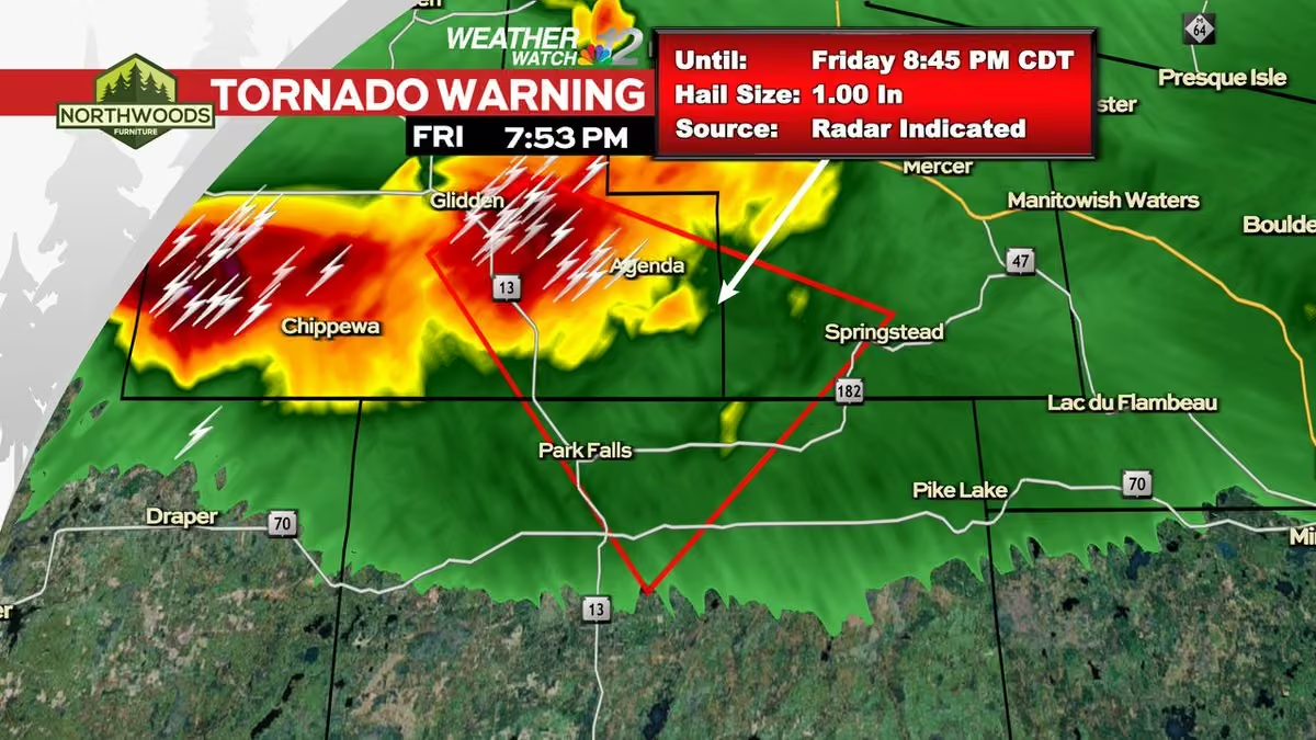
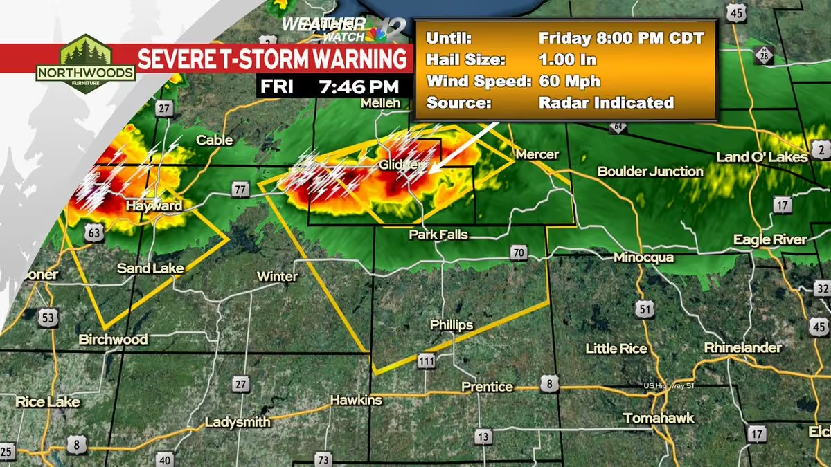
-
WJFW 12
@WJFW12
A Severe Thunderstorm Warning has been issued within our viewing area until 6/16 1:00PM CDT.
Check the Weather Watch 12 Weather App or go to www.wjfw.com/weather for more information. #wiwx -
WJFW 12
@WJFW12
A Severe Thunderstorm Warning has been issued within our viewing area until 6/16 12:30PM CDT.
Check the Weather Watch 12 Weather App or go to www.wjfw.com/weather for more information. #wiwx -
WJFW 12 reposted
Meteorologist Devin Biggs
@mtrdevinbiggs
Showers and thunderstorms are expected today and tomorrow with highs overall in the 60s. Showers and thunderstorms continue Wednesday night into Thursday before ending Thursday night. We'll catch a break Friday before we see more storms Saturday. #wiwx
-
WJFW 12 reposted
Meteorologist Devin Biggs
@mtrdevinbiggs
An active week is on the way with showers and thunderstorms possible. Several dry hours will be expected within these chances. Our average high temperature is 76º. We won't do that at all this week. Temperatures will range widely from the low 60s to low 70s. #wiwx
-
WJFW 12 reposted
Meteorologist Devin Biggs
@mtrdevinbiggs
Showers and thunderstorms will move in late tonight and track through the viewing area Saturday. Some areas will receive a half inch to three quarters of an inch of rain. The rain will end Saturday night with Sunday being nice and temperatures being below normal. #wiwx
-
WJFW 12 reposted
Meteorologist Devin Biggs
@mtrdevinbiggs
Showers and thunderstorms will start to move in this afternoon and pick up this evening. This biggest threat for us will be the heavy rain. Any severe weather will stay south of Wausau. We'll then be dry Friday before we get more storms Friday night into Saturday. #wiwx
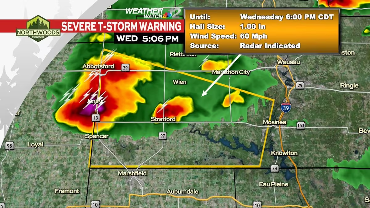
-
WJFW 12
@WJFW12
A Severe Thunderstorm Warning has been issued within our viewing area until 6/10 8:45PM CDT.
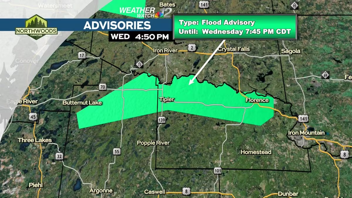
Check the Weather Watch 12 Weather App or go to www.wjfw.com/weather for more information. #wiwx -
WJFW 12
@WJFW12
A Severe Thunderstorm Warning has been issued within our viewing area until 6/10 9:00PM CDT.
Check the Weather Watch 12 Weather App or go to www.wjfw.com/weather for more information. #wiwx -
WJFW 12
@WJFW12
A Severe Thunderstorm Warning has been issued within our viewing area until 6/10 8:15PM CDT.
Check the Weather Watch 12 Weather App or go to www.wjfw.com/weather for more information. #wiwx -
WJFW 12
@WJFW12
A Flood (FA) Advisory has been issued within our viewing area until Jun 10 7:15PM CDT.
Check the Weather Watch 12 Weather App or go to www.wjfw.com/weather for more information. #wiwx -
WJFW 12
@WJFW12
A Severe Thunderstorm Warning has been issued within our viewing area until 6/10 5:00PM CDT.
Check the Weather Watch 12 Weather App or go to www.wjfw.com/weather for more information. #wiwx -
WJFW 12
@WJFW12
A Tornado Warning has been issued within our viewing area until Jun 10 4:30PM CDT.
Check the Weather Watch 12 Weather App or go to www.wjfw.com/weather for more information. #wiwx -
WJFW 12
@WJFW12
A Severe Thunderstorm Warning has been issued within our viewing area until 6/10 4:30PM CDT.
Check the Weather Watch 12 Weather App or go to www.wjfw.com/weather for more information. #wiwx -
WJFW 12
@WJFW12
A Severe Thunderstorm Warning has been issued within our viewing area until 6/10 3:45PM CDT.
Check the Weather Watch 12 Weather App or go to www.wjfw.com/weather for more information. #wiwx -
WJFW 12
@WJFW12
A Severe Thunderstorm Warning has been issued within our viewing area until 6/10 3:30PM CDT.
Check the Weather Watch 12 Weather App or go to www.wjfw.com/weather for more information. #wiwx -
WJFW 12
@WJFW12
A Severe Thunderstorm Warning has been issued within our viewing area until 6/10 3:00PM CDT.
Check the Weather Watch 12 Weather App or go to www.wjfw.com/weather for more information. #wiwx -
WJFW 12
@WJFW12
A Severe Thunderstorm Warning has been issued within our viewing area until 6/10 3:15PM CDT.
Check the Weather Watch 12 Weather App or go to www.wjfw.com/weather for more information. #wiwx -
WJFW 12
@WJFW12
A Severe Thunderstorm Warning has been issued within our viewing area until 6/10 10:15AM CDT.
Check the Weather Watch 12 Weather App or go to www.wjfw.com/weather for more information. #wiwx -
WJFW 12
@WJFW12
A Flood (FA) Advisory has been issued within our viewing area until Jun 10 10:45AM CDT.
Check the Weather Watch 12 Weather App or go to www.wjfw.com/weather for more information. #wiwx -
WJFW 12
@WJFW12
A Severe Thunderstorm Warning has been issued within our viewing area until 6/10 8:30AM CDT.
Check the Weather Watch 12 Weather App or go to www.wjfw.com/weather for more information. #wiwx -
WJFW 12 reposted
Meteorologist Devin Biggs
@mtrdevinbiggs
Storm damage reports are starting to come in as severe thunderstorms move through this morning. Trees are being reported down in Taylor and Marathon Counties. We've also had reports of power outages in northwestern Marathon County near Abbotsford. #wiwx #severe
-
WJFW 12
@WJFW12
A Severe Thunderstorm Warning has been issued within our viewing area until 6/10 8:15AM CDT.
Check the Weather Watch 12 Weather App or go to www.wjfw.com/weather for more information. #wiwx -
WJFW 12
@WJFW12
A Severe Thunderstorm Warning has been issued within our viewing area until 6/10 7:30AM CDT.
Check the Weather Watch 12 Weather App or go to www.wjfw.com/weather for more information. #wiwx -
WJFW 12
@WJFW12
A Severe Thunderstorm Warning has been issued within our viewing area until 6/10 7:45AM CDT.
Check the Weather Watch 12 Weather App or go to www.wjfw.com/weather for more information. #wiwx -
WJFW 12
@WJFW12
A Severe Thunderstorm Warning has been issued within our viewing area until 6/10 7:15AM CDT.
Check the Weather Watch 12 Weather App or go to www.wjfw.com/weather for more information. #wiwx -
WJFW 12
@WJFW12
A Severe Thunderstorm Warning has been issued within our viewing area until 6/10 7:30AM CDT.
Check the Weather Watch 12 Weather App or go to www.wjfw.com/weather for more information. #wiwx -
WJFW 12
@WJFW12
A Severe Thunderstorm Warning has been issued within our viewing area until 6/10 6:45AM CDT.
Check the Weather Watch 12 Weather App or go to www.wjfw.com/weather for more information. #wiwx -
WJFW 12 reposted
Meteorologist Devin Biggs
@mtrdevinbiggs
We have quite a view from our Park Falls skycam as showers and thunderstorms enter the region. Some of these storms may pack a punch as they pass through. This is just the first round as we watch for more strong to severe thunderstorms later today. #wiwx
-
WJFW 12 reposted
Meteorologist Devin Biggs
@mtrdevinbiggs
Scattered strong to severe thunderstorms are expected to develop on Wednesday. Some of these storms in the morning may pack a punch with gusty winds, hail, and heavy rain being the primary concerns. The biggest opportunities will be in the afternoon and evening. #wiwx
-
WJFW 12 reposted
Meteorologist Devin Biggs
@mtrdevinbiggs
Scattered strong to #severe thunderstorms will be expected Wednesday afternoon into the evening as low pressure moves into the area. We'll also have a strong south wind plus heat and humidity. Large hail, damaging winds, and isolated tornadoes will be expected. #wiwx
-
WJFW 12
@WJFW12
A Severe Thunderstorm Warning has been issued within our viewing area until 6/05 9:45PM CDT.
Check the Weather Watch 12 Weather App or go to www.wjfw.com/weather for more information. #wiwx -
WJFW 12
@WJFW12
A Severe Thunderstorm Warning has been issued within our viewing area until 6/05 9:00PM CDT.
Check the Weather Watch 12 Weather App or go to www.wjfw.com/weather for more information. #wiwx -
WJFW 12
@WJFW12
A Severe Thunderstorm Warning has been issued within our viewing area until 6/05 8:15PM CDT.
Check the Weather Watch 12 Weather App or go to www.wjfw.com/weather for more information. #wiwx -
WJFW 12
@WJFW12
A Flood (FA) Advisory has been issued within our viewing area until Jun 05 10:15PM CDT.
Check the Weather Watch 12 Weather App or go to www.wjfw.com/weather for more information. #wiwx -
WJFW 12
@WJFW12
A Flood (FA) Advisory has been issued within our viewing area until Jun 05 9:00PM CDT.
Check the Weather Watch 12 Weather App or go to www.wjfw.com/weather for more information. #wiwx -
WJFW 12
@WJFW12
A Flood (FA) Advisory has been issued within our viewing area until Jun 05 6:45PM CDT.
Check the Weather Watch 12 Weather App or go to www.wjfw.com/weather for more information. #wiwx -
WJFW 12 reposted
Meteorologist Devin Biggs
@mtrdevinbiggs
Showers and thunderstorms will develop at around 3 PM this afternoon and continue through the evening before tapering off. Some of the storms may get on the stronger side and produce gusty winds, hail, and heavy downpours. The precipitation as we've been dry lately. #wiwx
-
WJFW 12 reposted
Meteorologist Devin Biggs
@mtrdevinbiggs
A new drought monitor has been released for the United States. This probably doesn't surprise a lot of people, but most of Wisconsin is now considered either Abnormally Dry or in Moderate Drought. We'll get some help as showers & thunderstorms return. #wiwx #drought
-
WJFW 12 reposted
Meteorologist Devin Biggs
@mtrdevinbiggs
Winds are picking up out of the southwest at around 5-10 mph this morning. Gusts could reach up to 20 mph at times throughout the day. Showers and thunderstorms are possible late today through tomorrow night as highs reach for the upper 70s. The weekend presently looks dry. #wiwx
-
WJFW 12
@WJFW12
Tomahawk VFW hosts a kids fishing tournament at Memorial Park Saturday. Veterans will be running the event to interact with kids in the community.
"Hopefully we have a huge turnout of veterans to help and mingle with these kids and have a great time." www.wjfw.com/news/local/tomahawk-vfw-hosting-free-fishing… -
WJFW 12 reposted
Meteorologist Devin Biggs
@mtrdevinbiggs
The wind is blowing from the southwest at around 5-10 mph this morning. We'll have lots of sunshine today along with some passing clouds. The UV Index Forecast today is at a 9. It will take 15 minutes or less to get a sunburn without proper precautions. #wiwx
-
WJFW 12 reposted
Meteorologist Devin Biggs
@mtrdevinbiggs
We have two more absolutely beautiful days en route before the weather changes. We'll be mostly sunny today with highs in the low 80s. The UV Index Forecast for today is at an 8 That means without protection, it'll take 15 minutes for a sunburn to occur. #wiwx
-
WJFW 12 reposted
Meteorologist Devin Biggs
@mtrdevinbiggs
Your extended forecast for the week shows Monday, Tuesday, and Wednesday remaining dry with highs in the low 80s. Our pattern changes Thursday as opportunities for showers and thunderstorms enter the picture. We'll have high temperatures in the upper 70s to lower 80s. #wiwx
-
WJFW 12 reposted
Meteorologist Devin Biggs
@mtrdevinbiggs
We have a few more nice days before we have a pattern shift. Let's take advantage of them! Let's also make sure to avoid getting a sunburn. The UV Index Forecast for today is at an 8. That means it'll only take 15 minutes to get a sunburn without proper precautions. #wiwx
-
WJFW 12 reposted
Meteorologist Devin Biggs
@mtrdevinbiggs
Here's the latest drought monitor that was released Thursday. With the long dry stretch expected, there are concerns of a flash drought developing. Some parts of the state are already seeing abnormally dry conditions. This map could worsen with next week's update. #wiwx
-
WJFW 12 reposted
Meteorologist Devin Biggs
@mtrdevinbiggs
With all the sunshine expected today, the UV Index Forecast will be at an 8. That's very high. That means it will only take 15 minutes for you to get a sunburn. Make sure to take the proper precautions to avoid getting it. #wiwx
-
WJFW 12 reposted
Meteorologist Devin Biggs
@mtrdevinbiggs
A nice long dry stretch has set up shop across the region and it will last for as long as the eye can see. We'll have a mixture of clouds and sunshine. High temperatures today will reach for the upper 70s. We'll warm into the upper 80s to possibly low 90s tomorrow. #wiwx
-
WJFW 12
@WJFW12
A Severe Thunderstorm Warning has been issued within our viewing area until 5/27 6:15PM CDT.
Check the Weather Watch 12 Weather App or go to www.wjfw.com/weather for more information. #wiwx -
WJFW 12
@WJFW12
A Severe Thunderstorm Warning has been issued within our viewing area until 5/27 5:45PM CDT.
Check the Weather Watch 12 Weather App or go to www.wjfw.com/weather for more information. #wiwx -
WJFW 12
@WJFW12
A Flood (FA) Advisory has been issued within our viewing area until May 27 8:15PM CDT.
Check the Weather Watch 12 Weather App or go to www.wjfw.com/weather for more information. #wiwx -
WJFW 12
@WJFW12
A Severe Thunderstorm Warning has been issued within our viewing area until 5/27 5:30PM CDT.
Check the Weather Watch 12 Weather App or go to www.wjfw.com/weather for more information. #wiwx -
WJFW 12
@WJFW12
A Severe Thunderstorm Warning has been issued within our viewing area until 5/27 5:15PM CDT.
Check the Weather Watch 12 Weather App or go to www.wjfw.com/weather for more information. #wiwx -
WJFW 12
@WJFW12
A Severe Thunderstorm Warning has been issued within our viewing area until 5/27 4:45PM CDT.
Check the Weather Watch 12 Weather App or go to www.wjfw.com/weather for more information. #wiwx -
WJFW 12
@WJFW12
A Severe Thunderstorm Warning has been issued within our viewing area until 5/27 4:15PM CDT.
Check the Weather Watch 12 Weather App or go to www.wjfw.com/weather for more information. #wiwx -
WJFW 12 reposted
Meteorologist Devin Biggs
@mtrdevinbiggs
Showers are tracking in from the north and pushing southeast. Some rumbles of thunder have been occurring with them. Some more showers and thunderstorms will be possible along a cold front parked across our viewing area this afternoon as highs reach for the low 80s. #wiwx
-
WJFW 12
@WJFW12
A Severe Thunderstorm Warning has been issued within our viewing area until 5/26 6:00PM CDT.
Check the Weather Watch 12 Weather App or go to www.wjfw.com/weather for more information. #wiwx -
WJFW 12 reposted
Meteorologist Devin Biggs
@mtrdevinbiggs
Futurecast shows when we could see showers and thunderstorms. It'll be a late afternoon and evening opportunity. They will taper off close to midnight. Another opportunity will develop during the afternoon Wednesday. All of this courtesy of a cold front over the area. #wiwx
-
WJFW 12 reposted
Meteorologist Devin Biggs
@mtrdevinbiggs
The sun and wind will make it nice to be outside. It'll be easy to get a sunburn with the UV Index forecast at an 8. That's a burn time of 15 minutes. A slight chance for showers and thunderstorms will exist today. We'll also have storm chances tonight and Wednesday. #wiwx
-
WJFW 12 reposted
Meteorologist Devin Biggs
@mtrdevinbiggs
The flag is waving on this Memorial Day. For those going to Memorial Day services, expect a partly cloudy sky with highs in the low 80s. A slight chance for showers and thunderstorms will be possible. Winds could gust up to 25 mph out of the southwest. #wiwx
-
WJFW 12 reposted
Meteorologist Devin Biggs
@mtrdevinbiggs
The winds have picked up out of the southeast this morning and that is blowing the American Flag in Downtown Rhinelander to the Northwest. We'll see wind gusts up to 25 mph as clouds build in. Rain showers will be possible tonight into tomorrow. #wiwx
-
WJFW 12 reposted
Meteorologist Devin Biggs
@mtrdevinbiggs
Here's a shot we haven't been able to take from our skycam on the roof of the WJFW studios in quite sometime. The American Flag has been raised on the huge flag pole in Downtown Rhinelander. Right now it is waving with a light breeze out of the east at 5-10 mph. #wiwx
-
WJFW 12 reposted
Meteorologist Devin Biggs
@mtrdevinbiggs
Another beautiful sunrise this morning as seen from our skycam on the roof of the WJFW studios. Some frost has developed across the Northwoods. That will taper off as the sun keeps rising. We'll be partly cloudy today with highs in the low 60s. #wiwx
-
WJFW 12
@WJFW12
BREAKING: The remains discovered in Rusk County by a forester were confirmed to be human and identified as being that of a 36-year-old Ladysmith man reported missing in July 2025. www.wjfw.com/news/local/human-remains-discovered-in-rusk-…
-
WJFW 12
@WJFW12
CAMPAIGN STOP: Baum also stressed keeping corporate interests out of politics, citing the recent influx of AI data centers
“I know what it is to live in the Northwoods. I know where my constituents are. I know who they are, and I know what they want.” www.wjfw.com/news/local/niina-baum-emphasizes-people-firs… -
WJFW 12 reposted
Meteorologist Devin Biggs
@mtrdevinbiggs
Look at this stunning sunrise from our skycam at the WJFW studios this morning! We're off to a beautiful start on this Wednesday. We'll be under a partly cloudy sky today as highs reach for the low 60s. #wiwx #sunrise
-
WJFW 12 reposted
Meteorologist Devin Biggs
@mtrdevinbiggs
Some rain showers will be possible on and off today as a cold front passes through. High temperatures will be hit early in the low 60s and fall into the low 50s or even a little cooler. We'll warm up later into the forecast period with 60s and even 70s. #wiwx
-
WJFW 12
@WJFW12
A Severe Thunderstorm Warning has been issued within our viewing area until 5/19 12:30AM CDT.
Check the Weather Watch 12 Weather App or go to www.wjfw.com/weather for more information. #wiwx -
WJFW 12
@WJFW12
A Severe Thunderstorm Warning has been issued within our viewing area until 5/18 11:45PM CDT.
Check the Weather Watch 12 Weather App or go to www.wjfw.com/weather for more information. #wiwx -
WJFW 12 reposted
Meteorologist Devin Biggs
@mtrdevinbiggs
Expect a line of strong to severe thunderstorms to knock on the door of our viewing area by around 12 AM to 1 AM Tuesday. Storms will be capable of producing damaging winds, large hail, and possibly and isolated tornado. Heavy rainfall will be likely. #wiwx
-
WJFW 12 reposted
Meteorologist Devin Biggs
@mtrdevinbiggs
Scattered strong to severe thunderstorms will be possible tonight as a cold front approaches from the west. The biggest threat with these storms will be damaging winds. Large hail will also be a possibility. Isolated tornadoes will also be a small possibility. #wiwx
-
WJFW 12
@WJFW12
A Severe Thunderstorm Warning has been issued within our viewing area until 5/18 4:30AM EDT.
Check the Weather Watch 12 Weather App or go to www.wjfw.com/weather for more information. #wiwx -
WJFW 12 reposted
Meteorologist Devin Biggs
@mtrdevinbiggs
Some of the state has been placed under an extreme fire danger today by the Wisconsin DNR. This also lines up where the National Weather Service has issued Red Flag Warnings. Areas under a high fire danger and up are under burn bans. #wiwx
-
WJFW 12 reposted
Meteorologist Devin Biggs
@mtrdevinbiggs
A beautiful day is on tap as high temperatures warm into the upper 60s. Rain showers move in tonight and linger through early Friday morning. Saturday will be absolutely beautiful. Both days will feature high temperatures in the upper 70s to possibly lower 80s. #wiwx
-
WJFW 12 reposted
Meteorologist Devin Biggs
@mtrdevinbiggs
Clouds will give way to sunshine today as highs reach for the upper 50s. Mostly clear with areas of frost tonight as lows fall into the low 30s. Mostly sunny Thursday with highs warming into the mid 60s. 70s return Friday through Monday. #wiwx
-
WJFW 12
@WJFW12
A Severe Thunderstorm Warning has been issued within our viewing area until 5/12 5:00PM CDT.
Check the Weather Watch 12 Weather App or go to www.wjfw.com/weather for more information. #wiwx -
WJFW 12
@WJFW12
May 16 is the fourth annual Rhinelander High School Health Occupation Students of America (HOSA) Color Run and this year 8-year-old Sophia Thompson was picked to receive funds raised for her transplant. www.wjfw.com/news/local/rhinelander-school-club-organizes…
-
WJFW 12 reposted
Meteorologist Devin Biggs
@mtrdevinbiggs
We continue to monitor the latest fire danger information from the Wisconsin DNR. There's a small bit of good news for today. The very high category has been dropped. However, most of the state continues to remain under a high fire danger so permits remain suspended. #wiwx
-
WJFW 12 reposted
Meteorologist Devin Biggs
@mtrdevinbiggs
The Wisconsin DNR continues to maintain a high to very high fire danger across a good part of the Badger State. Burn permits are still suspended in these areas. There were 4 wildfires in the state yesterday. All were in elevated areas. Please continue to exercise caution. #wiwx
-
WJFW 12 reposted
Meteorologist Devin Biggs
@mtrdevinbiggs
At 5:34 AM, our skycam caught a beautiful sunrise as we kicked this Friday morning. Overall, it'll be a nice one. We'll have increasing clouds today as highs reach for the upper 50s. Winds could gust up to 25 mph out of the west. #wiwx
-
WJFW 12
@WJFW12
Act 10 was signed into law by Governor Scott Walker in 2011, and its effects on public-sector employees are still present. Now, 15 years later, Democratic governor candidates are promising to repeal the law.
www.wjfw.com/news/local/wisconsin-governor-candidates-spe… -
WJFW 12 reposted
Meteorologist Devin Biggs
@mtrdevinbiggs
The Wisconsin DNR has made some changes to the fire danger map for today. Burn permits are suspended today for the areas in the high to very high danger levels. Limited burning is allowed for the areas in the moderate risk. Please continue to exercise caution. #wiwx
-
WJFW 12 reposted
Meteorologist Devin Biggs
@mtrdevinbiggs
No change in the fire danger again today. The Wisconsin DNR continues to maintain a high to very high fire danger across the state. Burn permits continue to remain suspended across most, if not all, of the state. Please continue to exercise caution. #wiwx
-
WJFW 12 reposted
Meteorologist Devin Biggs
@mtrdevinbiggs
The Wisconsin DNR continues to maintain a high to very high fire danger across the state. Burn permits remain suspended as a result in these areas. It will not take much for wildfires to start and spread fast. Please exercise caution until the fire danger goes down. #wiwx
-
WJFW 12 reposted
Meteorologist Devin Biggs
@mtrdevinbiggs
A high to very high fire danger has been issued by the Wisconsin DNR today across most of the Badger State. Burn permits are suspended today as a result of the situation. All it'll take is a spark for a fire to start and spread. The main cause of fires is debris burning. #wiwx
-
WJFW 12
@WJFW12
BREAKING: On Friday the federal court issued a restraining order against the LDF tribe's walleye and musky fishing restrictions, and allowing non-tribal anglers to cast their lines as normal in those lakes. www.wjfw.com/news/local/breaking-anglers-can-fish-as-norm…
-
WJFW 12 reposted
Meteorologist Devin Biggs
@mtrdevinbiggs
Rain and snow chances will exist today as highs reach for the mid 40s. Frost and freeze conditions will exist tonight as lows fall into the low 20s. We're dry Saturday with highs in the mid 50s. We warm up even more Sunday into Monday before cooling off Tuesday. #wiwx
-
WJFW 12
@WJFW12
A Flood (FL) Advisory has been issued within our viewing area until May 03 11:57AM CDT.
Check the Weather Watch 12 Weather App or go to www.wjfw.com/weather for more information. #wiwx -
WJFW 12 reposted
Meteorologist Devin Biggs
@mtrdevinbiggs
Rain and snow showers will arrive into the region this afternoon and continue until this evening. Some sleet may also mix in. Areas of frost and freeze will also be possible tonight. We'll press repeat for tomorrow with the rain and snow chances. #wiwx
-
WJFW 12 reposted
Meteorologist Devin Biggs
@mtrdevinbiggs
Rain showers are expected today and tomorrow with high temperatures in the middle to upper 40s. Both tonight and tomorrow night will feature opportunities for frost. Once we get into Friday, temperatures will start to rise. 50s return as we head into the weekend. #wiwx
-
WJFW 12 reposted
Meteorologist Devin Biggs
@mtrdevinbiggs
We'll be drying out today with a mostly cloudy sky. The sun may peak out at times with highs in the mid 50s. Winds could gust up to 30 mph at times out of the northwest. A small chance for rain showers will exist tomorrow as highs take a step back into the low 50s. #wiwx
-
WJFW 12 reposted
Meteorologist Devin Biggs
@mtrdevinbiggs
We're starting to see some showers across the region. The coverage will increase as we proceed throughout the day. Thunderstorms will also get going as well. Some may get on the stronger side too as we head toward evening. The precipitation will be gone by Tuesday. #wiwx
-
WJFW 12 reposted
Meteorologist Devin Biggs
@mtrdevinbiggs
Morning rain showers today will give way to a mixture of clouds and sunshine this afternoon. Temperatures will take a step back into the 40s and 50s as the cold front passes, but rebound into the low 60s as we march through the afternoon. #wiwx
-
WJFW 12
@WJFW12
A Flood (FA) Advisory has been issued within our viewing area until Apr 24 3:00AM EDT.
Check the Weather Watch 12 Weather App or go to www.wjfw.com/weather for more information. #wiwx -
WJFW 12
@WJFW12
A Flood (FA) Advisory has been issued within our viewing area until Apr 24 2:00AM CDT.
Check the Weather Watch 12 Weather App or go to www.wjfw.com/weather for more information. #wiwx -
WJFW 12
@WJFW12
A Flood (FA) Advisory has been issued within our viewing area until Apr 24 12:45AM CDT.
Check the Weather Watch 12 Weather App or go to www.wjfw.com/weather for more information. #wiwx -
WJFW 12
@WJFW12
A Severe Thunderstorm Warning has been issued within our viewing area until 4/23 7:30PM CDT.
Check the Weather Watch 12 Weather App or go to www.wjfw.com/weather for more information. #wiwx -
WJFW 12 reposted
Meteorologist Devin Biggs
@mtrdevinbiggs
FIRE DANGER: The Wisconsin DNR has issued a Very High Fire Danger for most of the Badger State today. With the greenery not grown in yet, and the dead brush dried out from recent rainfall, a single spark can allow a wildfire to start. Please avoid all burning today. #wiwx
-
WJFW 12
@WJFW12
On the first day, the students raised over $1,000 by having jars at the front door for people to give money.
"That’s really impressive that our student body was able to come together so quickly and raise $1,000 in just one day.” www.wjfw.com/news/local/d-c-everest-students-raise-over-1… -
WJFW 12 reposted
Meteorologist Devin Biggs
@mtrdevinbiggs
WILDFIRE DANGER: The Wisconsin DNR has upped the entire state to either a high or very high fire danger for today. Burning is highly discouraged today. Some areas may see their burn permits suspended today as a result of the risk. Please avoid burning debris today. #wiwx
-
WJFW 12 reposted
Meteorologist Devin Biggs
@mtrdevinbiggs
We have a high fire danger across the state today. The exceptions being Vilas, Oneida, Lincoln, and Marathon Counties. Despite that, we're in that time of year where it's easy for wildfires to start across the state. #wiwx
-
WJFW 12 reposted
Meteorologist Devin Biggs
@mtrdevinbiggs
We have a nice day in store with a mostly sunny sky and highs in the upper 60s to lower 70s. Tomorrow is Earth Day. We'll be partly cloudy with highs in the upper 60s to lower 70s. We're dry again Thursday as temperatures climb. #wiwx
-
WJFW 12
@WJFW12
A Flood (FL) Advisory has been issued within our viewing area until Apr 22 7:00PM CDT.
Check the Weather Watch 12 Weather App or go to www.wjfw.com/weather for more information. #wiwx -
WJFW 12
@WJFW12
A Flood (FL) Warning has been issued within our viewing area until Apr 23 11:54PM CDT.
Check the Weather Watch 12 Weather App or go to www.wjfw.com/weather for more information. #wiwx -
WJFW 12
@WJFW12
A Flood (FL) Warning has been issued within our viewing area until Apr 23 8:25AM CDT.
Check the Weather Watch 12 Weather App or go to www.wjfw.com/weather for more information. #wiwx -
WJFW 12 reposted
Meteorologist Devin Biggs
@mtrdevinbiggs
Partly cloudy today as highs reach for the upper 40s. Mostly sunny and warmer Tuesday and Wednesday with highs in the upper 60s to lower 70s. Showers and thunderstorms are possible late Thursday and continuing through Friday. We dry out into the weekend. #wiwx
-
WJFW 12
@WJFW12
“Somebody is looking over us. Thank God that nobody got hurt. Homes are damaged, but we can help them repair them as a community, and I’m sure that will be happening from here on out." www.wjfw.com/news/local/tornado-causes-widespread-damage-…
-
WJFW 12
@WJFW12
A Flood (FL) Warning has been issued within our viewing area until Apr 21 7:52PM CDT.
Check the Weather Watch 12 Weather App or go to www.wjfw.com/weather for more information. #wiwx -
WJFW 12
@WJFW12
Sayner Community Church has been working to get the church updated and added onto for a few years now.
In 2023, the church congregation started the process of renovating the historic building and now the finish line is in sight.
www.wjfw.com/news/local/sayner-community-church-saved-thr… -
WJFW 12
@WJFW12
A Flood (FL) Warning has been issued within our viewing area until Apr 21 9:35AM CDT.
Check the Weather Watch 12 Weather App or go to www.wjfw.com/weather for more information. #wiwx -
WJFW 12
@WJFW12
A Flood (FL) Warning has been issued within our viewing area until Apr 20 10:00AM CDT.
Check the Weather Watch 12 Weather App or go to www.wjfw.com/weather for more information. #wiwx -
WJFW 12
@WJFW12
A Flood (FL) Warning has been issued within our viewing area until Apr 18 7:00PM CDT.
Check the Weather Watch 12 Weather App or go to www.wjfw.com/weather for more information. #wiwx -
WJFW 12
@WJFW12
A Flood (FA) Warning has been issued within our viewing area until Apr 18 6:30AM EDT.
Check the Weather Watch 12 Weather App or go to www.wjfw.com/weather for more information. #wiwx -
WJFW 12
@WJFW12
A Flood (FL) Advisory has been issued within our viewing area until Apr 20 10:09PM CDT.
Check the Weather Watch 12 Weather App or go to www.wjfw.com/weather for more information. #wiwx -
WJFW 12
@WJFW12
A Flood (FA) Advisory has been issued within our viewing area until Apr 18 1:45AM EDT.
Check the Weather Watch 12 Weather App or go to www.wjfw.com/weather for more information. #wiwx -
WJFW 12
@WJFW12
A Severe Thunderstorm Warning has been issued within our viewing area until 4/17 7:30PM CDT.
Check the Weather Watch 12 Weather App or go to www.wjfw.com/weather for more information. #wiwx -
WJFW 12
@WJFW12
A Tornado Warning has been issued within our viewing area until Apr 17 5:30PM CDT.
Check the Weather Watch 12 Weather App or go to www.wjfw.com/weather for more information. #wiwx -
WJFW 12
@WJFW12
A Severe Thunderstorm Warning has been issued within our viewing area until 4/17 5:30PM CDT.
Check the Weather Watch 12 Weather App or go to www.wjfw.com/weather for more information. #wiwx -
WJFW 12
@WJFW12
A Tornado Warning has been issued within our viewing area until Apr 17 5:30PM CDT.
Check the Weather Watch 12 Weather App or go to www.wjfw.com/weather for more information. #wiwx -
WJFW 12
@WJFW12
A Tornado Warning has been issued within our viewing area until Apr 17 5:30PM CDT.
Check the Weather Watch 12 Weather App or go to www.wjfw.com/weather for more information. #wiwx -
WJFW 12
@WJFW12
A Severe Thunderstorm Warning has been issued within our viewing area until 4/17 5:15PM CDT.
Check the Weather Watch 12 Weather App or go to www.wjfw.com/weather for more information. #wiwx -
WJFW 12
@WJFW12
A Tornado Warning has been issued within our viewing area until Apr 17 5:00PM CDT.
Check the Weather Watch 12 Weather App or go to www.wjfw.com/weather for more information. #wiwx -
WJFW 12
@WJFW12
A Severe Thunderstorm Warning has been issued within our viewing area until 4/17 5:15PM CDT.
Check the Weather Watch 12 Weather App or go to www.wjfw.com/weather for more information. #wiwx -
WJFW 12
@WJFW12
A Severe Thunderstorm Warning has been issued within our viewing area until 4/17 5:00PM CDT.
Check the Weather Watch 12 Weather App or go to www.wjfw.com/weather for more information. #wiwx -
WJFW 12
@WJFW12
A Tornado Warning has been issued within our viewing area until Apr 17 5:00PM CDT.
Check the Weather Watch 12 Weather App or go to www.wjfw.com/weather for more information. #wiwx -
WJFW 12
@WJFW12
A Severe Thunderstorm Warning has been issued within our viewing area until 4/17 5:15PM CDT.
Check the Weather Watch 12 Weather App or go to www.wjfw.com/weather for more information. #wiwx -
WJFW 12
@WJFW12
A Tornado Warning has been issued within our viewing area until Apr 17 4:45PM CDT.
Check the Weather Watch 12 Weather App or go to www.wjfw.com/weather for more information. #wiwx -
WJFW 12
@WJFW12
A Flash Flood Warning has been issued within our viewing area until Apr 17 7:15PM CDT.
Check the Weather Watch 12 Weather App or go to www.wjfw.com/weather for more information. #wiwx -
WJFW 12
@WJFW12
A Tornado Warning has been issued within our viewing area until Apr 17 4:30PM CDT.
Check the Weather Watch 12 Weather App or go to www.wjfw.com/weather for more information. #wiwx -
WJFW 12
@WJFW12
A Severe Thunderstorm Warning has been issued within our viewing area until 4/17 4:45PM CDT.
Check the Weather Watch 12 Weather App or go to www.wjfw.com/weather for more information. #wiwx -
WJFW 12
@WJFW12
A Severe Thunderstorm Warning has been issued within our viewing area until 4/17 4:00PM CDT.
Check the Weather Watch 12 Weather App or go to www.wjfw.com/weather for more information. #wiwx -
WJFW 12
@WJFW12
A Tornado Warning has been issued within our viewing area until Apr 17 4:00PM CDT.
Check the Weather Watch 12 Weather App or go to www.wjfw.com/weather for more information. #wiwx -
WJFW 12
@WJFW12
A Severe Thunderstorm Warning has been issued within our viewing area until 4/17 4:15PM CDT.
Check the Weather Watch 12 Weather App or go to www.wjfw.com/weather for more information. #wiwx -
WJFW 12
@WJFW12
A Tornado Warning has been issued within our viewing area until Apr 17 3:30PM CDT.
Check the Weather Watch 12 Weather App or go to www.wjfw.com/weather for more information. #wiwx -
WJFW 12
@WJFW12
A Severe Thunderstorm Warning has been issued within our viewing area until 4/17 3:15PM CDT.
Check the Weather Watch 12 Weather App or go to www.wjfw.com/weather for more information. #wiwx -
WJFW 12 reposted
Meteorologist Devin Biggs
@mtrdevinbiggs
A #severe Thunderstorm Watch has been issued for parts of our viewing area until 5:00 PM. The biggest threats within this watch will be large hail and damaging winds. The tornado threat is low, but not zero. Now is the time to make sure your severe weather plan is ready. #wiwx
-
WJFW 12 reposted
Meteorologist Devin Biggs
@mtrdevinbiggs
A dynamic setup is once again taking place. Scattered strong to severe thunderstorms will move in across the Badger State this afternoon courtesy of a cold front. All threats are on the table including large hail, damaging winds, isolated tornadoes, and heavy downpours. #wiwx
-
WJFW 12 reposted
Meteorologist Devin Biggs
@mtrdevinbiggs
Thunderstorms are developing in Minnesota now ahead of our cold front. They are tracking to the east-northeast. These storms will intensify and become more widespread as they head our way. Expect large hail, damaging winds, isolated tornadoes, and heavy downpours. #wiwx
-
WJFW 12 reposted
Meteorologist Devin Biggs
@mtrdevinbiggs
Increasing clouds will be expected for a good part of the day Friday. Scattered strong to severe thunderstorms will develop by the afternoon at around 3 PM. Large hail, damaging winds, isolated tornadoes, and heavy downpours will all be threats with these storms. #wiwx
-
WJFW 12 reposted
Meteorologist Devin Biggs
@mtrdevinbiggs
Showers and thunderstorms will be possible in our southern counties this evening. Some of them may get on the stronger side again as they develop along the stationary front. We'll have a slight chance for showers and thunderstorms Thursday morning before they clear. #wiwx
-
WJFW 12
@WJFW12
A Flood (FA) Warning has been issued within our viewing area until Apr 15 1:30PM CDT.
Check the Weather Watch 12 Weather App or go to www.wjfw.com/weather for more information. #wiwx -
WJFW 12
@WJFW12
A Severe Thunderstorm Warning has been issued within our viewing area until 4/14 11:45PM CDT.
Check the Weather Watch 12 Weather App or go to www.wjfw.com/weather for more information. #wiwx -
WJFW 12
@WJFW12
A Flood (FA) Warning has been issued within our viewing area until Apr 15 4:00AM CDT.
Check the Weather Watch 12 Weather App or go to www.wjfw.com/weather for more information. #wiwx -
WJFW 12
@WJFW12
A Severe Thunderstorm Warning has been issued within our viewing area until 4/14 6:45PM CDT.
Check the Weather Watch 12 Weather App or go to www.wjfw.com/weather for more information. #wiwx -
WJFW 12
@WJFW12
A Flood (FL) Warning has been issued within our viewing area until Apr 15 9:00PM CDT.
Check the Weather Watch 12 Weather App or go to www.wjfw.com/weather for more information. #wiwx -
WJFW 12 reposted
Meteorologist Devin Biggs
@mtrdevinbiggs
Scattered strong to severe thunderstorms will be expected across southern Wisconsin starting at 6 PM. This will develop along a stationary front that is currently parked over that part of the state. These storms will also hit some of our southern counties again. #wiwx
-
WJFW 12
@WJFW12
A Flood (FA) Warning has been issued within our viewing area until Apr 14 7:00PM CDT.
Check the Weather Watch 12 Weather App or go to www.wjfw.com/weather for more information. #wiwx -
WJFW 12
@WJFW12
A Flood (FL) Warning has been issued within our viewing area until Apr 17 9:07AM CDT.
Check the Weather Watch 12 Weather App or go to www.wjfw.com/weather for more information. #wiwx -
WJFW 12
@WJFW12
A Flood (FA) Warning has been issued within our viewing area until Apr 14 11:00AM CDT.
Check the Weather Watch 12 Weather App or go to www.wjfw.com/weather for more information. #wiwx -
WJFW 12
@WJFW12
A Flood (FA) Advisory has been issued within our viewing area until Apr 14 10:00AM CDT.
Check the Weather Watch 12 Weather App or go to www.wjfw.com/weather for more information. #wiwx -
WJFW 12
@WJFW12
A Flood (FA) Warning has been issued within our viewing area until Apr 14 9:15AM CDT.
Check the Weather Watch 12 Weather App or go to www.wjfw.com/weather for more information. #wiwx -
WJFW 12
@WJFW12
A Flood (FA) Warning has been issued within our viewing area until Apr 14 10:15PM CDT.
Check the Weather Watch 12 Weather App or go to www.wjfw.com/weather for more information. #wiwx -
WJFW 12
@WJFW12
A Flood (FA) Advisory has been issued within our viewing area until Apr 14 4:15AM CDT.
Check the Weather Watch 12 Weather App or go to www.wjfw.com/weather for more information. #wiwx -
WJFW 12
@WJFW12
A Flood (FL) Advisory has been issued within our viewing area until Apr 15 7:00PM CDT.
Check the Weather Watch 12 Weather App or go to www.wjfw.com/weather for more information. #wiwx -
WJFW 12
@WJFW12
A Flood (FL) Warning has been issued within our viewing area until Apr 16 10:16PM CDT.
Check the Weather Watch 12 Weather App or go to www.wjfw.com/weather for more information. #wiwx -
WJFW 12
@WJFW12
A Flood (FL) Warning has been issued within our viewing area until Apr 16 10:00AM CDT.
Check the Weather Watch 12 Weather App or go to www.wjfw.com/weather for more information. #wiwx -
WJFW 12
@WJFW12
A Severe Thunderstorm Warning has been issued within our viewing area until 4/13 10:00PM CDT.
Check the Weather Watch 12 Weather App or go to www.wjfw.com/weather for more information. #wiwx -
WJFW 12
@WJFW12
A Severe Thunderstorm Warning has been issued within our viewing area until 4/13 9:15PM CDT.
Check the Weather Watch 12 Weather App or go to www.wjfw.com/weather for more information. #wiwx -
WJFW 12
@WJFW12
A Flash Flood Warning has been issued within our viewing area until Apr 14 2:00AM CDT.
Check the Weather Watch 12 Weather App or go to www.wjfw.com/weather for more information. #wiwx -
WJFW 12
@WJFW12
A Severe Thunderstorm Warning has been issued within our viewing area until 4/13 8:45PM CDT.
Check the Weather Watch 12 Weather App or go to www.wjfw.com/weather for more information. #wiwx -
WJFW 12
@WJFW12
A Severe Thunderstorm Warning has been issued within our viewing area until 4/13 8:30PM CDT.
Check the Weather Watch 12 Weather App or go to www.wjfw.com/weather for more information. #wiwx -
WJFW 12
@WJFW12
A Severe Thunderstorm Warning has been issued within our viewing area until 4/13 8:00PM CDT.
Check the Weather Watch 12 Weather App or go to www.wjfw.com/weather for more information. #wiwx -
WJFW 12
@WJFW12
A Severe Thunderstorm Warning has been issued within our viewing area until 4/13 7:45PM CDT.
Check the Weather Watch 12 Weather App or go to www.wjfw.com/weather for more information. #wiwx -
WJFW 12
@WJFW12
A Severe Thunderstorm Warning has been issued within our viewing area until 4/13 7:15PM CDT.
Check the Weather Watch 12 Weather App or go to www.wjfw.com/weather for more information. #wiwx -
WJFW 12
@WJFW12
A Flood (FA) Advisory has been issued within our viewing area until Apr 13 9:00PM CDT.
Check the Weather Watch 12 Weather App or go to www.wjfw.com/weather for more information. #wiwx -
WJFW 12
@WJFW12
A Tornado Warning has been issued within our viewing area until Apr 13 6:30PM CDT.
Check the Weather Watch 12 Weather App or go to www.wjfw.com/weather for more information. #wiwx -
WJFW 12
@WJFW12
A Flood (FA) Advisory has been issued within our viewing area until Apr 13 8:45PM CDT.
Check the Weather Watch 12 Weather App or go to www.wjfw.com/weather for more information. #wiwx -
WJFW 12
@WJFW12
A Severe Thunderstorm Warning has been issued within our viewing area until 4/13 6:30PM CDT.
Check the Weather Watch 12 Weather App or go to www.wjfw.com/weather for more information. #wiwx -
WJFW 12
@WJFW12
A Severe Thunderstorm Warning has been issued within our viewing area until 4/13 6:45PM CDT.
Check the Weather Watch 12 Weather App or go to www.wjfw.com/weather for more information. #wiwx -
WJFW 12
@WJFW12
A Severe Thunderstorm Warning has been issued within our viewing area until 4/13 6:30PM CDT.
Check the Weather Watch 12 Weather App or go to www.wjfw.com/weather for more information. #wiwx -
WJFW 12
@WJFW12
A Flash Flood Warning has been issued within our viewing area until Apr 13 10:15PM CDT.
Check the Weather Watch 12 Weather App or go to www.wjfw.com/weather for more information. #wiwx -
WJFW 12
@WJFW12
A Severe Thunderstorm Warning has been issued within our viewing area until 4/13 6:00PM CDT.
Check the Weather Watch 12 Weather App or go to www.wjfw.com/weather for more information. #wiwx -
WJFW 12
@WJFW12
A Severe Thunderstorm Warning has been issued within our viewing area until 4/13 5:45PM CDT.
Check the Weather Watch 12 Weather App or go to www.wjfw.com/weather for more information. #wiwx -
WJFW 12
@WJFW12
A Severe Thunderstorm Warning has been issued within our viewing area until 4/13 5:45PM CDT.
Check the Weather Watch 12 Weather App or go to www.wjfw.com/weather for more information. #wiwx -
WJFW 12
@WJFW12
A Severe Thunderstorm Warning has been issued within our viewing area until 4/13 5:15PM CDT.
Check the Weather Watch 12 Weather App or go to www.wjfw.com/weather for more information. #wiwx -
WJFW 12
@WJFW12
A Flood (FL) Warning has been issued within our viewing area until Apr 16 4:10PM CDT.
Check the Weather Watch 12 Weather App or go to www.wjfw.com/weather for more information. #wiwx -
WJFW 12
@WJFW12
A Flood (FL) Warning has been issued within our viewing area until Apr 19 7:00AM CDT.
Check the Weather Watch 12 Weather App or go to www.wjfw.com/weather for more information. #wiwx -
WJFW 12
@WJFW12
A Flood (FL) Warning has been issued within our viewing area until Apr 16 12:00PM CDT.
Check the Weather Watch 12 Weather App or go to www.wjfw.com/weather for more information. #wiwx -
WJFW 12
@WJFW12
A Flood (FL) Warning has been issued within our viewing area until Apr 15 7:00AM CDT.
Check the Weather Watch 12 Weather App or go to www.wjfw.com/weather for more information. #wiwx -
WJFW 12 reposted
Meteorologist Devin Biggs
@mtrdevinbiggs
Scattered strong to severe thunderstorms will be on the way late this afternoon and continuing into the evening. Initiation will begin at around 6 PM in our southern counties and track east-northeast. The storms will merge into a line at 1 AM and track east-southeast. #wiwx
-
WJFW 12
@WJFW12
A Flood (FL) Warning has been issued within our viewing area until Apr 16 7:31AM CDT.
Check the Weather Watch 12 Weather App or go to www.wjfw.com/weather for more information. #wiwx -
WJFW 12
@WJFW12
A Flood (FL) Warning has been issued within our viewing area until Apr 16 7:30AM CDT.
Check the Weather Watch 12 Weather App or go to www.wjfw.com/weather for more information. #wiwx -
WJFW 12
@WJFW12
A Flood (FL) Warning has been issued within our viewing area until Apr 15 11:33PM CDT.
Check the Weather Watch 12 Weather App or go to www.wjfw.com/weather for more information. #wiwx -
WJFW 12
@WJFW12
A Flood (FL) Warning has been issued within our viewing area until Apr 16 7:00AM CDT.
Check the Weather Watch 12 Weather App or go to www.wjfw.com/weather for more information. #wiwx -
WJFW 12
@WJFW12
A Flood (FL) Warning has been issued within our viewing area until Apr 16 11:00AM CDT.
Check the Weather Watch 12 Weather App or go to www.wjfw.com/weather for more information. #wiwx -
WJFW 12
@WJFW12
A Flood (FL) Advisory has been issued within our viewing area until Apr 15 10:56AM CDT.
Check the Weather Watch 12 Weather App or go to www.wjfw.com/weather for more information. #wiwx -
WJFW 12
@WJFW12
A Flood (FL) Warning has been issued within our viewing area until Apr 15 10:54AM CDT.
Check the Weather Watch 12 Weather App or go to www.wjfw.com/weather for more information. #wiwx -
WJFW 12
@WJFW12
A Flood (FL) Warning has been issued within our viewing area until Apr 15 10:54AM CDT.
Check the Weather Watch 12 Weather App or go to www.wjfw.com/weather for more information. #wiwx -
WJFW 12
@WJFW12
A Flood (FL) Warning has been issued within our viewing area until Apr 17 10:00PM CDT.
Check the Weather Watch 12 Weather App or go to www.wjfw.com/weather for more information. #wiwx -
WJFW 12 reposted
Meteorologist Devin Biggs
@mtrdevinbiggs
The clouds this morning will give way to sunshine for the afternoon. Make sure to keep the sunglasses handy. You'll want them. We'll be dry for most of the day Saturday. Rain chances will move in late in the afternoon. Showers and thunderstorms exist Sunday. #wiwx
-
WJFW 12
@WJFW12
A Flood (FL) Advisory has been issued within our viewing area until Apr 12 10:19AM CDT.
Check the Weather Watch 12 Weather App or go to www.wjfw.com/weather for more information. #wiwx -
WJFW 12 reposted
Meteorologist Devin Biggs
@mtrdevinbiggs
We're dry today, Friday, and Saturday as temperatures gradually reach for the 40s and 50s. Showers and thunderstorms move in Sunday with highs in the upper 60s. Mostly cloudy Monday with highs in the low 70s. #wiwx
-
WJFW 12 reposted
Meteorologist Devin Biggs
@mtrdevinbiggs
Mostly cloudy today with a chance for rain showers. Temperatures will get a boost into the low 50s thanks to a warm front and a southerly wind up to 30 mph. We're dry Thursday, Friday, and Saturday. Thunderstorms move in Sunday, Monday and Tuesday. #wiwx
-
WJFW 12
@WJFW12
Mary Klade was recently recognized for driving bus at Merrill Area Public Schools for 50 years.
"We’re on our third generation yet," Klade said. "I’ve hauled the grandma, the parents and now the kids.”
www.wjfw.com/news/local/merrill-area-public-schools-bus-d… -
WJFW 12
@WJFW12
High pressure is our friend today with sunshine warming us into the upper 30s. A wintry mix will arrive tonight into tomorrow morning for our north central counties before a cold front sets up over the region tomorrow afternoon bringing rain showers into tomorrow evening.
-
WJFW 12
@WJFW12
A Flood (FL) Warning has been issued within our viewing area until Apr 09 3:42AM CDT.
Check the Weather Watch 12 Weather App or go to www.wjfw.com/weather for more information. #wiwx -
WJFW 12
@WJFW12
A Flood (FL) Warning has been issued within our viewing area until Apr 06 12:00AM CDT.
Check the Weather Watch 12 Weather App or go to www.wjfw.com/weather for more information. #wiwx -
WJFW 12
@WJFW12
Sleet mixing with freezing rain overnight for a few hours really helped keep the ice accumulations down across the viewing area. We still saw ice accumulations ranging from 0.10-0.30" across much of north central Wisconsin. Expect light snow this evening with sunshine on Easter.
-
WJFW 12
@WJFW12
A Flood (FL) Warning has been issued within our viewing area until Apr 07 10:29AM CDT.
Check the Weather Watch 12 Weather App or go to www.wjfw.com/weather for more information. #wiwx -
WJFW 12
@WJFW12
A Flood (FL) Warning has been issued within our viewing area until Apr 07 7:00PM CDT.
Check the Weather Watch 12 Weather App or go to www.wjfw.com/weather for more information. #wiwx -
WJFW 12 reposted
Meteorologist Devin Biggs
@mtrdevinbiggs
Our wintry mix of rain, freezing rain, sleet, and snow will throughout the day. If you can avoid traveling, please do. Power outages are already being reported across the viewing area. Expect that number to increase as ice accumulates on trees and power lines. #wiwx
-
WJFW 12 reposted
Meteorologist Devin Biggs
@mtrdevinbiggs
Here's a look at the advisories as we track our next winter storm. Winter Storm Warnings are posted for the areas in pink. The ones south of Highway 8 will expire early Thursday afternoon. The ones along and north of Highway 8 will last until 10:00 PM. #wiwx
-
WJFW 12 reposted
Meteorologist Devin Biggs
@mtrdevinbiggs
Our winter storm will arrive tonight bringing ice accumulations to the region many areas will see a wide range of 0.1 to 0.4 inches of ice. We'll gradually see a transition to rain from south to north. Downed trees and powerlines will be a concern. #wiwx
-
WJFW 12 reposted
Meteorologist Devin Biggs
@mtrdevinbiggs
2 rounds of a wintry mix of rain, freezing rain, sleet, and snow moves in this week. The first round will arrive Wednesday night into Thursday. The wintry mix will transition to all rain as low pressure tracks northeast. Another system tracks in Saturday. #wiwx
-
WJFW 12 reposted
Meteorologist Devin Biggs
@mtrdevinbiggs
Strong thunderstorms are tracking East through Adams County this morning at 45 mph. They are capable of producing small hail up to pennies. Some gusty winds will also be a possibility. #wiwx
-
WJFW 12
@WJFW12
A Severe Thunderstorm Warning has been issued within our viewing area until 3/31 8:00AM CDT.
Check the Weather Watch 12 Weather App or go to www.wjfw.com/weather for more information. #wiwx -
WJFW 12
@WJFW12
A Severe Thunderstorm Warning has been issued within our viewing area until 3/31 12:00AM CDT.
Check the Weather Watch 12 Weather App or go to www.wjfw.com/weather for more information. #wiwx -
WJFW 12
@WJFW12
A Severe Thunderstorm Warning has been issued within our viewing area until 3/30 11:15PM CDT.
Check the Weather Watch 12 Weather App or go to www.wjfw.com/weather for more information. #wiwx -
WJFW 12 reposted
Meteorologist Devin Biggs
@mtrdevinbiggs
With the snow melting off, the fire danger has been increasing across the state. Most of the wildfires have been caused by debris burning. Please make sure to check with the DNR and obtain the proper burn permits before burning. Otherwise, exercise caution to avoid a fire. #wiwx
-
WJFW 12 reposted
Meteorologist Devin Biggs
@mtrdevinbiggs
A line of snow showers is moving into the region with minimal accumulations possible. The snow won't last long on the ground with highs in the low 30s today and warmer highs in the coming days. The snow chances will end by tonight as the clouds clear the area. #wiwx
-
WJFW 12 reposted
Meteorologist Devin Biggs
@mtrdevinbiggs
Rain continues to track through the area this morning. The chance for any lightning has ended. We'll see the rain wrap up this afternoon. Some snowflakes may mix in as temperatures cool off. #wiwx
-
WJFW 12 reposted
Meteorologist Devin Biggs
@mtrdevinbiggs
Our clouds this morning will break up and give way to sunshine. The winds will turn from the southeast to the southwest. That will help to give temperatures a boost into the low 60s. Rain and snow chances will move in tomorrow. Highs will be hit early in the low 40s. #wiwx
-
WJFW 12 reposted
Meteorologist Devin Biggs
@mtrdevinbiggs
Temperatures will make a run for the upper 40s today with a mixture of clouds and sunshine. Some sprinkles and flurries will develop tonight. A slight chance for rain showers exists Wednesday. Otherwise, mostly cloudy with highs in the low 60s. #wiwx
-
WJFW 12
@WJFW12
A Flood (FL) Warning has been issued within our viewing area until Mar 24 10:00PM CDT.
Check the Weather Watch 12 Weather App or go to www.wjfw.com/weather for more information. #wiwx -
WJFW 12 reposted
Meteorologist Devin Biggs
@mtrdevinbiggs
Expect high temperatures this week to go on a rollercoaster ride. We'll primarily be in the 40s and 50s. Friday will be our only day in the 30s. There is a small chance for rain showers Wednesday. New data coming in as of this post is decreasing that chance. #wiwx
-
WJFW 12
@WJFW12
A Flood (FL) Warning has been issued within our viewing area until Mar 24 10:00PM CDT.
Check the Weather Watch 12 Weather App or go to www.wjfw.com/weather for more information. #wiwx -
WJFW 12 reposted
Meteorologist Devin Biggs
@mtrdevinbiggs
Spring arrives today and it'll feel like it with temperatures reaching for the low 50s. We'll be partly cloudy today and tomorrow. Saturday will also feature temperatures in the low 50s. Temperatures will fall into the mid 30s Sunday as a cold front passes through. #wiwx
-
WJFW 12 reposted
Meteorologist Devin Biggs
@mtrdevinbiggs
Spring arrives tomorrow and for Wisconsin standards, it'll feel like it temperature wise. We'll have clouds in the area as temperatures warm into the upper 40s. We'll have some rain showers in the area Saturday with temperatures in the upper 40s. #wiwx
-
WJFW 12 reposted
Meteorologist Devin Biggs
@mtrdevinbiggs
A wintry mix of rain, freezing rain, sleet, and snow will be possible tonight. It will be out of here by Thursday morning. It will not be a huge deal. If anything, it will cause an inconvenience for travel in the morning. In that case, just take it slow in the morning. #wiwx
-
WJFW 12 reposted
Meteorologist Devin Biggs
@mtrdevinbiggs
Another area of low pressure is moving in from Canada and will give us another opportunity for snow tonight. This time around, it won't be a lot. We'll see an inch to an inch and a half of snow before the system clears out by Wednesday morning. #wiwx
-
WJFW 12 reposted
Meteorologist Devin Biggs
@mtrdevinbiggs
We're going to work on getting this mess out of here today. With winds still gusting out of the northwest, expect some lake effect snow showers tonight. We're dry Tuesday before another round of snow passes through. At most, expect 1 inch of snow to fall with that system. #wiwx
-
WJFW 12 reposted
Meteorologist Devin Biggs
@mtrdevinbiggs
Here are just some of the snow reports we've received across the area. We know many of you have gotten more or less compared to this chart. These are just a simple list of reports. Totals will vary by location; especially given that we're in blizzard conditions. #wiwx
-
WJFW 12
@WJFW12
As of 1:00 PM many of our central counties are on track with the forecast while our northern counties are underperforming. Wausau has broken their single day snowfall record now reaching over 21".
-
WJFW 12 reposted
Meteorologist Devin Biggs
@mtrdevinbiggs
Here are just some of the snow total reports that we've received across the viewing area. They're not final yet as snow will keep falling throughout the day. We'll add a lot more snow to the region starting Saturday night as another winter storm moves in. #wiwx
-
WJFW 12 reposted
Meteorologist Devin Biggs
@mtrdevinbiggs
This is something we don't do very often. A very significant winter storm is on the way and it will begin Saturday evening. It will continue all day Sunday and last through Monday afternoon. The wind will also blow the snow around and lower visibility. #wiwx
-
WJFW 12 reposted
Meteorologist Devin Biggs
@mtrdevinbiggs
Snow will be moving in later on tonight. Expect around 4-6 inches of snow for the areas in pink with locally higher amounts possible. Lesser totals are expected further south. The snow will start at around 7 PM. It'll increase in coverage and strength through midnight. #wiwx
-
WJFW 12 reposted
Meteorologist Devin Biggs
@mtrdevinbiggs
Another round of snow is on the way and it starts Thursday evening. It will last through Friday. Areas to the south could see 1-3 inches of snow. A switchover to rain is possible. Further north, 3-6 inches of snow is possible where it'll primarily stay as snow. #wiwx
-
WJFW 12
@WJFW12
Snowfall update for tonight into tomorrow afternoon: Snow totals have been reduced slightly as there has been a subtle northern shift in the heaviest snow in the latest data analysis.
-
WJFW 12 reposted
Meteorologist Devin Biggs
@mtrdevinbiggs
The forecast continues to hold for accumulating snow between today and tomorrow. We're already seeing a little snow this morning. That will change over to a wintry mix through the afternoon and this evening. It will transition to snow tonight and to all snow tomorrow. #wiwx
-
WJFW 12
@WJFW12
Winter is not done with us just yet! More snow in the forecast for tomorrow afternoon sticking around until Wednesday afternoon. The snow will start out wet and heavy, then become more light and fluffy as winds pick up and temperatures fall throughout the day Wednesday.
-
WJFW 12 reposted
Meteorologist Devin Biggs
@mtrdevinbiggs
A busy week is in store. Today is the last day we'll have some sun and clouds with highs in the low 50s. A wintry mix moves in Tuesday. That'll transition to snow Wednesday. Expect 1-3 inches of snow across the Northwoods Tuesday night into Wednesday. #wiwx
-
WJFW 12
@WJFW12
A Flood (FL) Warning has been issued within our viewing area until Mar 10 12:24PM CST.
Check the Weather Watch 12 Weather App or go to www.wjfw.com/weather for more information. #wiwx -
WJFW 12 reposted
Meteorologist Devin Biggs
@mtrdevinbiggs
Showers and thunderstorms are likely today and especially tonight as an area of low pressure passes through. Heavy rainfall will be the primary concern. For tonight, some storms could produce some gusty winds and hail before passing through; especially south. #wiwx
-
WJFW 12 reposted
Meteorologist Devin Biggs
@mtrdevinbiggs
Two rounds of showers and thunderstorms will pass through Friday and Friday evening. Locally heavy rainfall is expected. Some areas will see a half inch to an inch of rain. Some rain and snow will fall Saturday morning before everything tapers off. #wiwx
-
WJFW 12 reposted
Meteorologist Devin Biggs
@mtrdevinbiggs
Rain and thunderstorms are en route for Friday! Around three quarters of an inch of rain is possible. Some of the thunderstorms Friday into early Friday evening could get on the stronger side for our southern counties and produce gusty winds and hail. #wiwx
-
WJFW 12 reposted
Meteorologist Devin Biggs
@mtrdevinbiggs
Above normal temperatures are expected this entire forecast period with highs in the 40s and even 50s. Today through Thursday will feature a mixture of clouds and sunshine. Friday will feature a good chance of rain with even some thunderstorms possible Friday night. #wiwx
-
WJFW 12 reposted
Meteorologist Devin Biggs
@mtrdevinbiggs
Partly cloudy today with highs in the mid 30s. Freezing drizzle will be possible tonight. It will be a very slight chance, but something to watch for tomorrow morning. Afterward, temperatures are rising into the 40s and possibly 50s for the next several days. #wiwx
-
WJFW 12 reposted
Meteorologist Devin Biggs
@mtrdevinbiggs
Temperatures will get a boost into the mid 40s today which will melt some snow. With a warm front to the north, we'll have a gusty southwest wind up to 30 mph. A cold front will pass this evening and turn the winds out of the northwest and gust up to 35 mph. #wiwx
-
WJFW 12 reposted
Meteorologist Devin Biggs
@mtrdevinbiggs
Any accumulating snow that we receive will stay along and north of Vilas County today as snow tracks in from the southeast. Areas further south won't see a whole lot; if anything at all. The snow is done Friday before we get a little more on Saturday. #wiwx
-
WJFW 12 reposted
Meteorologist Devin Biggs
@mtrdevinbiggs
Lake effect flurries are starting to wrap up around the viewing area and be replaced with sunshine. Some clouds are also developing in a few spots. A few flurries cannot be ruled out for areas close to the U.P. border. Snow showers will be possible tonight into tomorrow. #wiwx
-
WJFW 12 reposted
Meteorologist Devin Biggs
@mtrdevinbiggs
1-3 inches of snow will be possible with a line passing through. Some of the snow will get heavy at times which will cause visibility issues and make driving tough; especially as it accumulates on the roads. It will arrive this morning and clear out by the afternoon. #wiwx
-
WJFW 12 reposted
Meteorologist Devin Biggs
@mtrdevinbiggs
Snow is moving in from the northwest and going southeast. A burst of 1-3 inches of snow will be possible until it clears this afternoon at around 2-3 PM. Lake effect snow flurries will be possible tonight too. Those will be gone by tomorrow morning. #wiwx
-
WJFW 12 reposted
Meteorologist Devin Biggs
@mtrdevinbiggs
Here are just some of the many reports that have come in across the area. With the snow still falling, expect these numbers to climb more. The fresh powder is excellent news for our winter enthusiasts that are eager to get outside to enjoy the snow. #wiwx
-
WJFW 12 reposted
Meteorologist Devin Biggs
@mtrdevinbiggs
Forecasts looked promising yesterday that we'd get a good snow. Now, not so much. Everything has weakened and shifted east. With the exception of a few of our southern counties, most of us will see 1-3 inches of snow. Areas further west won't see anything. #wiwx
-
WJFW 12
@WJFW12
A naked man was arrested after stealing an ambulance and leading police on a chase for more than 18 miles with a patient inside in Wood County Tuesday night.
www.wjfw.com/news/local/update-naked-man-steals-ambulance… -
WJFW 12 reposted
Meteorologist Devin Biggs
@mtrdevinbiggs
Here's something cool to check out. The rest of our viewing area is currently seeing thick clouds from low pressure passing through. Then there's Adams County. Visible satellite does not show any clouds. A camera in the area also doesn't show any clouds. #wiwx
-
WJFW 12 reposted
Meteorologist Devin Biggs
@mtrdevinbiggs
Here's our first look at the system arriving Thursday night and lasting into parts of Saturday. Most of us will see 3-6 inches of snow with others receiving 1-3 inches. It's a sharp cutoff as eastern Wisconsin will see some rain. #wiwx
-
WJFW 12 reposted
Meteorologist Devin Biggs
@mtrdevinbiggs
The latest radar picture shows most of the precipitation pushing toward the northeast into the U.P. We'll catch a break before more snow moves in at around 3-4 PM. We'll keep that going until Thursday morning. #wiwx
-
WJFW 12 reposted
Meteorologist Devin Biggs
@mtrdevinbiggs
A Winter Weather Advisory is in effect for the counties highlighted in purple until noon Wednesday. They will kick in this evening as the precipitation picks up. Expect a wintry mix of rain, freezing rain, sleet, and snow in these counties. 1-3 inches of snow is possible. #wiwx
-
WJFW 12 reposted
Meteorologist Devin Biggs
@mtrdevinbiggs
We have two systems on the way this week. The first one arrives Tuesday night into Wednesday. Any snow that falls will be along and north of Highway 8 where 1-3 inches of snow is possible. Anything further south will be rain. #wiwx
-
WJFW 12
@WJFW12
Their plans for a microcollege include a two-year, accredited program that could transfer into a four-year university.
“Microcolleges are more about a foundation where they can then go off and excel in a range of fields.” www.wjfw.com/news/local/former-northland-college-faculty-… -
WJFW 12 reposted
Meteorologist Devin Biggs
@mtrdevinbiggs
We'll have an opportunity to either tie or possibly break a record high today. Our forecasted high temperature today is 44º. The record high temperature on the books is 46º set back in 2011. It'll be close. We'll continue to remain in the mid 40s through Monday. #wiwx
-
WJFW 12
@WJFW12
Among the things taking place for the Red Robins varsity basketball team is players suspended, some quitting and playing Tuesday's game against Mosinee with JV and JV2 players. The interim coach has also walked away. www.wjfw.com/news/local/antigo-basketball-teams-season-in…
-
WJFW 12 reposted
Meteorologist Devin Biggs
@mtrdevinbiggs
Temperatures are rising into the 30s and 40s over the next 7 days. Most of the days will be dry and full of sunshine. This will cause our snow pack to take quite a hit. Ice fishing should be fine, but snow related activities may have issues as the snow melts. #wiwx
-
WJFW 12 reposted
Meteorologist Devin Biggs
@mtrdevinbiggs
Any lake effect flurries we're seeing this morning will be wrapping up. We'll have a mixture of clouds and sunshine today as highs reach for the mid 20s. The temperatures rise starting tomorrow and continue Friday and beyond. 40s are here starting Friday. #wiwx
-
WJFW 12 reposted
Meteorologist Devin Biggs
@mtrdevinbiggs
Mostly cloudy today with a slight chance for lake effect flurries in the Northwoods. Highs will be hit early in the low 30s and then fall this afternoon. More lake effect flurries are possible tonight before they wrap up tomorrow. Then the warmup is on Thursday and beyond. #wiwx
-
WJFW 12 reposted
Meteorologist Devin Biggs
@mtrdevinbiggs
Winter Weather Advisories are posted for the counties highlighted in purple. They kick in this afternoon and expire at 3 AM Tuesday. Expect mixed precipitation which may include a glaze of ice. Snow accumulations of a half inch to an inch will also be possible. #wiwx
-
WJFW 12 reposted
Meteorologist Devin Biggs
@mtrdevinbiggs
The morning snow and freezing drizzle will be backing off this morning. As the clouds break up, temperatures will fall into the teens this afternoon. Temperatures tonight will fall to -8º. This weekend looks great! Just a chance for snow Saturday night. #wiwx
-
WJFW 12
@WJFW12
It's National Weatherperson's Day!! We couldn't be more thankful for our outstanding weather team!!! Please let them know how much you appreciate them in the replies.
-
WJFW 12 reposted
Meteorologist Devin Biggs
@mtrdevinbiggs
The snow for today has wrapped up. We'll be under a mostly cloudy sky for the rest of the day. Some more snow and even some freezing frizzle will move in tonight and lasting into tomorrow morning. Around a half inch to an inch of snow will be possible with that system. #wiwx
-
WJFW 12 reposted
Meteorologist Devin Biggs
@mtrdevinbiggs
Snow showers will be possible late tonight into Thursday morning. It will clear out as we head towards Thursday afternoon. Around 1-2 inches of snow will be possible. Another system will approach Thursday night into Friday morning. A wintry mix is possible with that system. #wiwx
-
WJFW 12 reposted
Meteorologist Devin Biggs
@mtrdevinbiggs
The Northwoods is seeing clouds and some lake effect snow flurries this morning. Opportunities for that will exist throughout the day. Further south, the sun is out! Overall, we'll all have a chance to see sunshine today. Make sure to keep the sunglasses ready to go! #wiwx
-
WJFW 12 reposted
Meteorologist Devin Biggs
@mtrdevinbiggs
Lake effect snow flurries and snow showers will be possible across the Northwoods today. Some sunshine will also peak out in areas too. Snow flurries will linger tonight as the clouds break. We'll have lots of sunshine and some clouds tomorrow with highs in the upper teens. #wiwx
-
WJFW 12 reposted
Meteorologist Devin Biggs
@mtrdevinbiggs
Partly cloudy today and tonight with a slight chance for lake effect flurries. All of that will be gone by Saturday and we'll have lots of sunshine. Around an inch or two of snow will be possible Sunday into Sunday night. We're dry Monday through Wednesday. #wiwx
-
WJFW 12 reposted
Meteorologist Devin Biggs
@mtrdevinbiggs
Snow flurries will continue to be possible today and tonight. By tomorrow, they're done as the clouds stick around. We'll have more sunshine Saturday as highs rebound into the mid 20s. Snow will be possible Sunday, Tuesday, and Wednesday. #wiwx
-
WJFW 12 reposted
Meteorologist Devin Biggs
@mtrdevinbiggs
Lake effect flurries will be possible across the Northwoods today and tonight. Otherwise, the entire viewing area in general will be partly cloudy. We'll be partly cloudy again Thursday with a slight chance for snow flurries. After that, 20s are in the forecast. #wiwx
-
WJFW 12 reposted
Meteorologist Devin Biggs
@mtrdevinbiggs
Air temperatures are ranging from -3º in the Northwoods to 5º in Central Wisconsin. There is a northwest wind at around 5-15 mph. That is causing the feels like temperature to drop to -20º in many locations. That means it will be easy to get frostbite and hypothermia. #wiwx
-
WJFW 12 reposted
Meteorologist Devin Biggs
@mtrdevinbiggs
With air temperatures reaching -20º or worse in some spots, it's only taking a simple 5-10 mph wind for feels like temperatures to fall to -30º or even close to -40º for places like Rhinelander. As always, make sure to bundle up when venturing out the door. #wiwx
-
WJFW 12 reposted
Meteorologist Devin Biggs
@mtrdevinbiggs
Air temperatures have cooled off again this morning. We're down to -22º in Rhinelander with -21º in Minocqua and Eagle River. Temperatures will rise to around 4º today. That high temperature will not be hit until later on this evening. #wiwx
-
WJFW 12
@WJFW12
We got close to breaking records overnight as lows dropped past -35°F for many of us in the Northwoods. The Rhinelander record for this date is -38°F last set in 1935. We're looking to improve slowly throughout the week as high temperatures tomorrow will reach back above zero.
-
WJFW 12 reposted
Meteorologist Devin Biggs
@mtrdevinbiggs
Here's a check at temperatures. Rhinelander and Hayward are -29º at this time. Glidden takes the cake by just one degree at -30º. At the same time, the wind is causing many places to range from -40º to -50º for the feels like temperature. #wiwx
-
WJFW 12 reposted
Meteorologist Devin Biggs
@mtrdevinbiggs
Crazy feels like temperatures this morning. The air temperature in Rhinelander is -27º as of this post. The feels like temperature is -56º thanks to the wind. That will make it very easy to get frostbite and hypothermia. If you're heading out today, make sure to bundle up! #wiwx
-
WJFW 12 reposted
Meteorologist Devin Biggs
@mtrdevinbiggs
Extreme Cold Warnings remain posted for our entire area. They kick in tonight and expire Friday afternoon. More alerts are expected to follow as an Extreme Cold Watch is posted. Its timeline is for after the warning drops to Saturday morning. Expect that one to be upgraded. #wiwx
-
WJFW 12 reposted
Meteorologist Devin Biggs
@mtrdevinbiggs
Dangerous cold is expected starting Thursday night lasting through Saturday morning. What you see pictured is the forecasted feels like temperatures for Friday morning. This will range from -45º to -50º. Actual air temperatures that morning will be -25º. #wiwx
-
WJFW 12 reposted
Meteorologist Devin Biggs
@mtrdevinbiggs
The wind is making it feel much colder than the actual air temperature this morning. Rhinelander is a prime example. The air temperature for Rhinelander is -20º as of this post. The wind is making it feel like -39º. Make sure to bundle up accordingly when going outside. #wiwx
-
WJFW 12 reposted
Meteorologist Devin Biggs
@mtrdevinbiggs
A 3.5 magnitude earthquake occurred early this morning in Central Illinois near Ohlman. Areas as far as Macomb, Peoria, Carbondale, IL and St. Louis, MO, also felt it. Evansville, IN, and Terre Haute, IN potentially felt it too. #ilwx #wiwx
-
WJFW 12 reposted
Meteorologist Devin Biggs
@mtrdevinbiggs
Feels-like temperatures will be very low today through tomorrow. While we are used to the cold, make sure to exercise precautions when going outside. Frostbite and hypothermia can occur fast with temperatures and feels-like temperatures this low. #wiwx
-
WJFW 12 reposted
Meteorologist Devin Biggs
@mtrdevinbiggs
A very neat picture from a camera out of Rome, WI this morning. This is in Adams County. We're seeing Sun Dogs occurring on the left and right sides of the sun. They are colored spots of light that develop due to the refraction of light through ice crystals. #wiwx
-
WJFW 12 reposted
Meteorologist Devin Biggs
@mtrdevinbiggs
Today into tomorrow will feature an additional 1-3 inches of snow across the viewing area. Further north, Lake Superior will boost those snow totals as lake enhanced and lake effect snow kick in. Sunday will also feature another wave of snow. #wiwx
-
WJFW 12 reposted
Meteorologist Devin Biggs
@mtrdevinbiggs
Snow starts to approach late this afternoon and continues through Saturday. We'll have repeat waves of snow with this system. Around 3-5 inches of snow will be possible for the areas in blue, 1-3 inches in white, and 5-12 inches in red. #wiwx
-
WJFW 12 reposted
Meteorologist Devin Biggs
@mtrdevinbiggs
Snow showers are expected today and will back off to flurries tonight. A few inches are possible in the U.P. with less than an inch along and north of Highway 8. Our next system will move in Thursday afternoon. Snow will be expected then and last through Saturday. #wiwx
-
WJFW 12 reposted
Meteorologist Devin Biggs
@mtrdevinbiggs
Lake effect snow will be expected tonight as gusty winds turn out of the north over Lake Superior. Those winds will gust up to 30 mph at times. Around 1-2 inches of snow will be possible close to the U.P. border. Further south, it becomes less than an inch of snow. #wiwx
-
WJFW 12 reposted
Meteorologist Devin Biggs
@mtrdevinbiggs
Schools are delaying this morning as a result of slippery roads. Our skycam overlooking Rhinelander shows some snowfall on the roads. Some areas are in good shape while others are slippery. Please exercise caution when traveling this morning. #wiwx
-
WJFW 12 reposted
Meteorologist Devin Biggs
@mtrdevinbiggs
We have some snow on the way tonight into tomorrow morning. Don't expect a lot of it though. An inch or less will be possible with lesser amounts south and a little more to the north. We'll add some more Tuesday night into Wednesday as lake effect snow kicks in. #wiwx
-
WJFW 12 reposted
Meteorologist Devin Biggs
@mtrdevinbiggs
Snow will be approaching with our next system Saturday morning. It will continue through Saturday night and wrap up early Sunday morning. In the blue, 3-6 inches of snow will be possible. In the white, 1-3 inches of snow is possible. Higher totals are possible in the U.P. #wiwx
-
WJFW 12 reposted
Meteorologist Devin Biggs
@mtrdevinbiggs
Snow accumulations of 3-5 inches are possible tonight for the areas in blue. Locally higher amounts are possible. In the white, lower totals of 1-3 inches are expected. The system will approach at around 4-6 PM and be out of here by around 7-8 AM Friday. #wiwx
-
WJFW 12 reposted
Meteorologist Devin Biggs
@mtrdevinbiggs
Snow moves in Thursday night into Friday morning as part of a wintry mix of rain, freezing rain, sleet, and snow across our viewing area. The Northwoods will stay as snow. Most of us will see around 1-2 inches. Areas near Antigo and Iron Mountain could see 2-3 inches. #wiwx
-
WJFW 12 reposted
Meteorologist Devin Biggs
@mtrdevinbiggs
A wintry mix of rain, freezing rain, sleet, and snow continues to fall across the area this morning. The precipitation is starting to transition to snow from west to east. Freezing fog is also lingering and will cause slippery spots to develop. Make sure to be cautious. #wiwx
-
WJFW 12 reposted
Meteorologist Devin Biggs
@mtrdevinbiggs
Please be extra careful if you're traveling in the pink areas this morning. Frozen precipitation is falling and it is making roads slippery. 511 Wisconsin is reporting roads partially or completely covered in ice. If you can put off your commute, please do so. #wiwx
-
WJFW 12 reposted
Meteorologist Devin Biggs
@mtrdevinbiggs
Winter Weather Advisories are posted for tonight through Noon Tuesday for a little snow accumulation of an inch or less and ice accumulations of a tenth to two tenths of an inch. Expect roads to be slippery tonight through tomorrow morning. #wiwx
-
WJFW 12 reposted
Meteorologist Devin Biggs
@mtrdevinbiggs
Roads are slippery in many places this morning. Our skycam in downtown Rhinelander shows snow covered roads. This creates opportunities for vehicles to spin out or slide through intersections. Please make sure to slow down when needed. #wiwx
-
WJFW 12
@WJFW12
WIAA GIRLS HOCKEY: @NPHS_Hockey 4, Viroqua 1
#wiaaghoc -
WJFW 12
@WJFW12
Happy New Year! We start off 2026 with single digits and light snow showers into the late morning hours. More chances for snow arrive this weekend with some light snow across the Northwoods Saturday morning.
-
WJFW 12 reposted
Meteorologist Devin Biggs
@mtrdevinbiggs
An additional inch of snow will be possible in the Northwoods today with our next wave of snow moving in from the northwest. It will clear out this afternoon. A mixture of clouds and sunshine will be expected before the sun sets and temperatures really fall overnight. #wiwx
-
WJFW 12 reposted
Meteorologist Devin Biggs
@mtrdevinbiggs
A wave of snow will pass through this morning and continue this afternoon. It will taper off this evening. Our northern counties will see some lake effect snow flurries. More snow from the same system will move in tomorrow. In all, around 1-2 inches of snow is expected. #wiwx
-
WJFW 12 reposted
Meteorologist Devin Biggs
@mtrdevinbiggs
Here's a list of some cities that saw snow from the winter storm that pushed through yesterday into this morning. Many saw a good healthy snowfall in the past 24 hours. It ranged from 6 inches in parts of Marathon County to 12 inches in Vilas County. #wiwx
-
WJFW 12 reposted
Meteorologist Devin Biggs
@mtrdevinbiggs
Our next system get in here Sunday with rain changing over to snow. The event will wrap up Monday. At this time, significant snowfall looks possible along with gusty winds. This is excellent news for the snowmobile trails and ski resorts as they could use more natural snow. #wiwx
-
WJFW 12 reposted
Meteorologist Devin Biggs
@mtrdevinbiggs
Roads are not great this morning. Many are slippery and covered in ice. Road crews are out working on the roads. Make sure to give them time and space to treat the roads. Slow down so you don't spin out either. Conditions will improve today as temperatures rise. #wiwx
-
WJFW 12 reposted
Meteorologist Devin Biggs
@mtrdevinbiggs
We'll be dry today with a mostly cloudy sky and highs in the low 30s. The weather will also be quiet tonight and tomorrow for those doing any Christmas activities. Christmas night and Friday we'll need to monitor for a wintry mix of rain, freezing rain, sleet, and snow. #wiwx
-
WJFW 12 reposted
Meteorologist Devin Biggs
@mtrdevinbiggs
Partly cloudy today with highs in the mid 30s. We'll have a slight chance for a wintry mix tomorrow. It won't be anything major, but something to keep in mind when going out for any Christmas Eve activities. Christmas Day will be nice. #wiwx
-
WJFW 12 reposted
Meteorologist Devin Biggs
@mtrdevinbiggs
The busy holiday week is here! Parts of our viewing area are waking up to snow this morning. Others, not so much. The snow passing through will clear out. We'll remain mostly cloudy as highs reach for the low 30s. We'll stay dry until Thursday night. #wiwx
-
WJFW 12
@WJFW12
We will start off our Monday with light snow tracking across central Wisconsin. Some central counties can reach close to 2" while many outside of that will see close to an inch of snowfall. There is a small potential for freezing drizzle during the afternoon as well.
-
WJFW 12
@WJFW12
WIAA BOYS HOCKEY: Tomahawk 9, West Bend 1
#wiaaboyshockey -
WJFW 12
@WJFW12
WIAA BOYS BASKETBALL: @RHS_Hodags 60, Northland Pines 55
#wiaabb -
WJFW 12
@WJFW12
WIAA GIRLS BASKETBALL: @RHS_Hodags 54, Northland Pines 25
#wiaagbbThis media couldn't be displayed. See it on the original post. -
WJFW 12 reposted
Meteorologist Devin Biggs
@mtrdevinbiggs
The snowfall tonight into tomorrow will produce 1-3 inches in the Northwoods with around an inch or less further south. Areas close to the U.P. border could see up to 4 inches. Anything higher will be possible closer to Lake Superior. #wiwx
-
WJFW 12 reposted
Meteorologist Devin Biggs
@mtrdevinbiggs
The visibility map is indicating where we do have some snowfall actively taking place. This will back off later on today. We'll have sunshine coming out for a little while before more clouds move in ahead of our next system. #wiwx
-
WJFW 12 reposted
Meteorologist Devin Biggs
@mtrdevinbiggs
Rain showers will transition to snow late this afternoon as the winds turn out of the west-northwest and usher in colder air. Accumulations won't be a whole lot. Roughly 1-2 inches of snow will be possible in northern Wisconsin with lesser amounts south. #wiwx
-
WJFW 12 reposted
Meteorologist Devin Biggs
@mtrdevinbiggs
A wintry mix of rain, freezing rain, sleet, and snow are possible tonight. That will transition to rain and snow Thursday before a dry slot develops. By Thursday afternoon into the evening, some snow will also pass through. Gusty winds will also be an issue. #wiwx
-
WJFW 12 reposted
Meteorologist Devin Biggs
@mtrdevinbiggs
Light freezing rain has been reported in Western Wisconsin this morning and is expected to move into Central Wisconsin. Most of it will evaporate, but enough could fall that some patchy slippery spots could occur. Make sure to exercise caution if you'll be outside. #wiwx
-
WJFW 12 reposted
Meteorologist Devin Biggs
@mtrdevinbiggs
Freezing drizzle is possible for parts of central Wisconsin this morning. This may create some slippery spots, especially on elevated surfaces. Make sure to exercise caution if you are traveling. #wiwx
-
WJFW 12 reposted
Meteorologist Devin Biggs
@mtrdevinbiggs
We have a couple systems on the way that will give us some precipitation. The first one will arrive Wednesday night into early Friday morning. The next one will arrive Friday night into Saturday night. Temperatures will also be on a rollercoaster ride. #wiwx
-
WJFW 12 reposted
Meteorologist Devin Biggs
@mtrdevinbiggs
Temperatures will be on a rollercoaster ride between the 10s, 20s, and 30s for highs. We'll have a slight chance for a wintry mix Tuesday morning into early afternoon. We'll then have to watch for multiple systems Thursday through Saturday. #wiwx
-
WJFW 12
@WJFW12
It's a bit chilly out there today! Feels like temperatures are ranging from -15°F to almost -30°F across the viewing area this afternoon. We won't do this again tomorrow but it will still be cold with highs in the low teens.
-
WJFW 12 reposted
Meteorologist Devin Biggs
@mtrdevinbiggs
Cold temperatures and wind chills (feels like temperatures) are on the way starting tonight. Air temperatures are expected to fall to -13º with wind chills reaching -30º to even -35º in some spots. We won't recover much Saturday or Saturday night as the winds remain gusty. #wiwx
-
WJFW 12 reposted
Meteorologist Devin Biggs
@mtrdevinbiggs
We get a small round of snow tomorrow with around a half inch to an inch of snow in most spots. Areas closer to the U.P. border will see around 2-3 inches. Afterward, temperatures will get bitterly cold. We then warm up next week as 30s make a return to the region. #wiwx
-
WJFW 12 reposted
Meteorologist Devin Biggs
@mtrdevinbiggs
Here are just some of the snow reports we received this morning across the area. Central Wisconsin received the most snow while others in the Northwoods didn't get as much. Make sure to give snowplows room as they do their work plowing roads, sidewalks, driveways, etc. #wiwx
-
WJFW 12
@WJFW12
Much of central Wisconsin will see a swath 3-6+ inches of snow with the "+" meaning locally higher amounts. Some local areas may see near 7-8" of snow. The snow will taper off around this swath of snow with a sharper cut-off and much lower snowfall totals north of highway 8.
-
WJFW 12 reposted
Meteorologist Devin Biggs
@mtrdevinbiggs
Winter Storm Warnings and Winter Weather Advisories are posted ahead of the snow that will pass through tonight. 1-3 inches of snow will be possible in the advisory area. In the warned area, expect 3-6 inches of snow. Locally higher amounts are possible. #wiwx
-
WJFW 12 reposted
Meteorologist Devin Biggs
@mtrdevinbiggs
Snow is on the way again and it begins later this afternoon at around 4-5 PM. It will last through Wednesday morning at around 7 AM. 1-3 inches of snow will be possible in the white shaded areas. In the blue, expect 3-6 inches of snow. Locally higher amounts are possible. #wiwx
-
WJFW 12 reposted
Meteorologist Devin Biggs
@mtrdevinbiggs
This is what we're looking at for Tuesday night into Wednesday morning. 3-6 inches of snow will be expected from that round of snow. Other areas will only see 1-3 inches. Parts of Central Wisconsin could see locally higher amounts. #wiwx
-
WJFW 12 reposted
Meteorologist Devin Biggs
@mtrdevinbiggs
We have snow on the way TONIGHT! It won't be a lot. Many places will see a range of 1-3 inches before it begins to taper off Tuesday morning. We'll have another round of snow Tuesday night into Wednesday morning. That one will produce even more snow. #wiwx
-
WJFW 12 reposted
Meteorologist Devin Biggs
@mtrdevinbiggs
Snow is expected today with our latest system tracking from west to east. Areas along and south of Highway 8 are expected to get around 1 inch of snow. Areas north will get less than that. This wave of snow will taper off tonight. #wiwx
-
WJFW 12 reposted
Meteorologist Devin Biggs
@mtrdevinbiggs
Temperatures like this are perfect for making ice on the area lakes. Even though many lakes are freezing up, make sure to be smart before heading out and check the thickness and quality of the ice. Drill holes in the ice and/or use a spud bar. #wiwx
-
WJFW 12 reposted
Meteorologist Devin Biggs
@mtrdevinbiggs
Lake effect snow is possible today and tonight in the U.P. and northern Wisconsin as winds gust to 25 mph our of the northwest. It won't be a lot, but you'll get to enjoy it a little bit. Sunshine will come out as you head further south. Temperatures will also fall today. #wiwx
-
WJFW 12
@WJFW12
Get ready for a cold week ahead! Temperatures are already more than ten degrees below average with highs in the low 20s today and tomorrow but expect much cooler weather throughout the rest of the week. Some areas may see highs in the single digits Thursday afternoon.
-
WJFW 12
@WJFW12
Here we are on the first of December with a pretty healthy snow pack across the whole state of Wisconsin! Winter is definitely underway and even though this week looks to be much more quiet than last week, we are still expecting 1 to 2 inches of snow Tuesday night into Wednesday.
-
WJFW 12
@WJFW12
Some snowfall totals from yesterday's winter storm. This upcoming week looks to be much more quiet, yet there will still be chances for light snow as weak clipper systems will pass by. Main weather headline this week will be the cold temperatures ahead. Say hello to Winter!
-
WJFW 12 reposted
Meteorologist Devin Biggs
@mtrdevinbiggs
A mixture of clouds and sunshine will be common today and lasting through the weekend. Things change next week. Rain chances move in Monday and Tuesday. Snow chances arrive Wednesday and Thanksgiving Day as temperatures really cool off. #wiwx
-
WJFW 12 reposted
Meteorologist Devin Biggs
@mtrdevinbiggs
Somewhere in this picture is the city of Rhinelander. Unfortunately you can't see it from our skycam here at WJFW. Fog is obscuring the view this morning. We'll see conditions improve later today. Friday will be a much better day with lots of sunshine. #wiwx
-
WJFW 12 reposted
Meteorologist Devin Biggs
@mtrdevinbiggs
We continue to deal with areas of dense fog this morning. Drizzle and sprinkles have also been common. We'll see conditions improve as the fog, sprinkles, and drizzle clear up. The clouds will clear out tonight, but more fog will be on the way by Friday morning. #wiwx
-
WJFW 12 reposted
Meteorologist Devin Biggs
@mtrdevinbiggs
Visibility has improved since this morning. Some other areas are still reporting some localized areas of fog, but it's much better than what it was earlier. We'll need to be prepared for more fog tonight and again tomorrow night. #wiwx
-
WJFW 12 reposted
Meteorologist Devin Biggs
@mtrdevinbiggs
Be careful if you're driving this morning! We're seeing areas of dense fog across the viewing area. Dense Fog Advisories are posted south of Highway 8. Make sure to slow down and allow extra time to get to your destination this morning. #wiwx
-
WJFW 12 reposted
Meteorologist Devin Biggs
@mtrdevinbiggs
Snow continues to fall as low pressure tracks to the east. Most of the snow has fallen in Portage and Wood Counties. It will taper off this afternoon and quickly melt as the sun comes out and temperatures warm into the low 40s. #wiwx
-
WJFW 12 reposted
Meteorologist Devin Biggs
@mtrdevinbiggs
Snow continues to fall in Portage and Wood Counties this morning. It has accumulated mainly in grassy areas and sidewalks. As you can see on the camera, it has accumulated somewhat on the road too. With more snow expected, a few slipper spots may develop. #wiwx
-
WJFW 12 reposted
Meteorologist Devin Biggs
@mtrdevinbiggs
Bursts of heavy snow are still possible this morning. As of this post, we're seeing one move through Stevens Point. Another inch of snow will be possible before this all clears out this afternoon with warm temperatures expected, whatever falls will melt rather quickly. #wiwx
-
WJFW 12 reposted
Meteorologist Devin Biggs
@mtrdevinbiggs
A rain/snow mixture will start as we head towards Tuesday morning. Adams County will see the excitement first during the overnight hours. Portage and Wood Counties will join in by sunrise. Those 2 counties could see an inch or less. Adams County could see a little more. #wiwx
-
WJFW 12 reposted
Meteorologist Devin Biggs
@mtrdevinbiggs
Lots of sunshine today with highs in the mid 50s. Clouds move in tonight with winds picking up to 20 mph out of the west. Morning rain showers Saturday will give way to a mostly sunny sky. A northwest wind could gust up to 25 or even 30 mph at times. #wiwx
-
WJFW 12 reposted
Meteorologist Devin Biggs
@mtrdevinbiggs
Temperatures are warming into the 30s and even a few 40s at this hour. We're expecting a nice day with lots of sunshine and temperatures warming into the mid 50s. Our southern counties could see temperatures slightly warmer than that. #wiwx
-
WJFW 12 reposted
Meteorologist Devin Biggs
@mtrdevinbiggs
Partly cloudy & breezy today as highs reach for the upper 40s. It'll be much warmer Friday with lots of sunshine and highs in the mid 50s. We'll have a south wind up to 20 mph. Rain showers are possible Saturday before we cool off into the 30s Sunday through Wednesday. #wiwx
-
WJFW 12
@WJFW12
Newswatch 12 @mtrdevinbiggs snapped this photo last night snapped this beautiful photo of the Aurora Borealis, also known as the Northern Lights. We’re in for another treat tonight! The Aurora Borealis is expected to put on another spectacular show with clear skies!
-
WJFW 12 reposted
Meteorologist Devin Biggs
@mtrdevinbiggs
The wind was making the flag really wave this morning in Downtown Rhinelander. The weather today won't be nice to flags outside. Gusty winds up to 35 mph or slightly higher will be possible as highs reach for the low 40s. Sunshine will be out today through Friday. #wiwx
-
WJFW 12 reposted
Meteorologist Devin Biggs
@mtrdevinbiggs
Mostly cloudy & breezy today with highs reaching for the upper 30s. Lots of sunshine Wednesday through Friday as temperatures continue to warm. Rain is back this weekend with temperatures in the 40s and 50s. Partly cloudy on Monday with highs falling into the low 40s. #wiwx
-
WJFW 12 reposted
Meteorologist Devin Biggs
@mtrdevinbiggs
We'll see some snow flurries or even a snow shower today courtesy of Lake Superior. That won't amount to much. We'll have an opportunity for snow showers tonight courtesy of a warm front passing to the north. A half inch or less of snow will be possible from that. #wiwx
-
WJFW 12
@WJFW12
RIB LAKE WINS D5 STATE VOLLEYBALL CHAMPIONSHIP: Rib Lake wins a back-and-forth 4th set 25-23 to claim Rib Lake School District's first state championship in program history!!
-
WJFW 12 reposted
Meteorologist Devin Biggs
@mtrdevinbiggs
Gusty winds return tomorrow. This time, they'll be out of the south and could reach up to 25 mph. The wind will continue Thursday night and again into Friday morning. #wiwx
-
WJFW 12 reposted
Meteorologist Devin Biggs
@mtrdevinbiggs
Expect gusty winds to reach up to 25 or even 30 mph out of the northwest today as low pressure tracks off to the east. The winds will calm down overnight before we see more gusty winds for Thursday. #wiwx
-
WJFW 12 reposted
Meteorologist Devin Biggs
@mtrdevinbiggs
Gusty winds won't be a problem today. Expect gusty winds tomorrow to reach up to 30 mph out of the northwest as an area of low pressure passes through. A few local areas could perhaps see up to 40 mph again. #wiwx
-
WJFW 12 reposted
Meteorologist Devin Biggs
@mtrdevinbiggs
Temperatures will be gradually falling throughout the week into the 40s and eventually 30s. We'll have our first taste of winter with highs in the 30s for the weekend. Mother Nature definitely heard those cheering for Christmas already as snow is also possible. #wiwx
-
WJFW 12 reposted
Meteorologist Devin Biggs
@mtrdevinbiggs
Here's another sign that it's windy today. The American Flag in downtown Rhinelander is really waving. On top of that, the wind is causing our skycam to shake at times. The gusty winds will continue through tonight before backing off into tomorrow. #wiwx
-
WJFW 12 reposted
Meteorologist Devin Biggs
@mtrdevinbiggs
Gusty winds will be the top headline today as they could reach up to 30 mph at times. This will be courtesy of a strong area of low pressure located in Canada. The good news, we'll have lots of sunshine today as highs reach for the low 50s. #wiwx
-
WJFW 12 reposted
Meteorologist Devin Biggs
@mtrdevinbiggs
Mostly cloudy today with a chance for rain showers. Some of the rain tonight could mix with some snow flurries. Rain and snow showers are also possible tomorrow. No snow accumulations are expected at all. We then dry out on Sunday. Don't forget we also fall back. #wiwx
-
WJFW 12 reposted
Meteorologist Devin Biggs
@mtrdevinbiggs
Lots of fog outside again this morning. It has started to clear up in some areas. For those that are still dealing with it, please exercise some caution. The fog will lift as the sun continues to rise. We'll be partly cloudy today with highs reaching for the low 50s. #wiwx
-
WJFW 12 reposted
Meteorologist Devin Biggs
@mtrdevinbiggs
Lots of fog across the Northwoods this morning. That's making visibility a little tricky to navigate and the frost situation messy. Make sure to budget your time wisely as you travel so you can get to your destination safely and on time. #wiwx
-
WJFW 12 reposted
Meteorologist Devin Biggs
@mtrdevinbiggs
9:45 AM Update: Hurricane Melissa now has 185 mph sustained winds with gusts still at 215 mph. Movement is still NNE at 7 mph. Pressure is 892 mb which is very low. That indicates a very strong hurricane. Landfall is imminent for Jamaica as the eye nears Black River. #melissa
-
WJFW 12 reposted
Meteorologist Devin Biggs
@mtrdevinbiggs
Fog has greeted the Northwoods again this morning. That will clear up as the sun comes out. We'll be partly cloudy and breezy today with highs warming into the low 50s. That will also help to melt the frost off cars. Winds could also gust up to 20 mph out of the southeast. #wiwx
-
WJFW 12 reposted
Meteorologist Devin Biggs
@mtrdevinbiggs
Hurricane Melissa has intensified again. As of 8:00 AM CDT, the storm has 180 mph sustained winds and is moving NNE at 7 mph. The pressure has fallen to 896 mb. Wind gusts are still being measured at 215 mph. Landfall is getting close for Jamaica. #melissa
-
WJFW 12 reposted
Meteorologist Devin Biggs
@mtrdevinbiggs
Areas of dense fog has developed this morning. It is rather localized. While places like Rhinelander have it, Wausau and Park Falls have lots of sunshine. Everyone will see sunshine as the fog lifts. The sun and gusty winds will lift highs into the mid 50s today. #wiwx
-
WJFW 12 reposted
Meteorologist Devin Biggs
@mtrdevinbiggs
Today turned out to be a beautiful day! We also had a beautiful sunset to wrap things up too. We'll be mostly clear tonight with lows in the mid 30s. Sunshine is back on Sunday with highs in the mid 50s. #wiwx
-
WJFW 12 reposted
Meteorologist Devin Biggs
@mtrdevinbiggs
It was a cold start across the viewing area this morning! Many places saw temperatures in the 20s. Wausau barely held on to 30º. Hayward fell to 18º. While it's not listed on this map, Rome in Adams County fell into the upper teens. Highs will reach for the upper 40s today. #wiwx
-
WJFW 12 reposted
Meteorologist Devin Biggs
@mtrdevinbiggs
Sprinkles & flurries are occurring this morning and will continue as highs reach for the low 40s. Winds could also gust up to 20 mph out of the northwest. The good news, high pressure approaches tonight and that will dry us out through the weekend with warmer temperatures. #wiwx
-
WJFW 12
@WJFW12
Another cool day in store for us today with scattered showers and highs only in the low 40s. Things will turn around once the weekend arrives with highs in the mid 50s Saturday and near 60° for your Sunday. Our next weather maker will arrive Monday night into Tuesday.
-
WJFW 12
@WJFW12
Low pressure will loom over the state for the next few days providing scattered showers and cool temperatures with highs only in the low to mid 40s today through Thursday. Our weekend will bring warmer temps back into the region, especially Sunday when highs reach the mid 50s.
-
WJFW 12
@WJFW12
Rain showers will arrive shortly after sunset for your Monday as winds pick up this afternoon gusting near 30 mph from the south southeast. This will be our pattern changer heading into Tuesday and Wednesday when scattered showers will continue with highs in the low to mid 40s.
-
WJFW 12 reposted
Meteorologist Devin Biggs
@mtrdevinbiggs
Rain showers are expected today with highs in the upper 50s. Some showers and even a few thunderstorms are possible tonight. Otherwise, we'll be mostly cloudy. A warm front passes through tomorrow. That could give us some storms with highs in the low 70s. #wiwx
-
WJFW 12 reposted
Meteorologist Devin Biggs
@mtrdevinbiggs
High pressure will help to break up the clouds today for our northern counties. This will boost temperatures into the upper 50s; which is about where we should be for this time of year. The clouds will stay with us in our southern counties which will keep temperatures down. #wiwx
-
WJFW 12 reposted
Meteorologist Devin Biggs
@mtrdevinbiggs
Here are the latest fall colors courtesy of Travel Wisconsin. Many counties in the Northwoods are starting to report peak colors or just below that. Just one county has reported past peak. Many counties to the south of us are still in process of turning. #wiwx
-
WJFW 12 reposted
Meteorologist Devin Biggs
@mtrdevinbiggs
Dry air is intruding into the region thanks to an area of high pressure located in the region. The black lines are the isobars and they show that we are within the center of high pressure. Most of the rainfall on radar is evaporating before reaching the ground. #wiwx
-
WJFW 12 reposted
Meteorologist Devin Biggs
@mtrdevinbiggs
As we observe Indigenous Peoples' Day, the weather will continue to improve as a cold front passes through the area. Sunshine will help to boost temperatures into the mid 60s; which is above the average high of 56º. #wiwx
-
WJFW 12 reposted
Meteorologist Devin Biggs
@mtrdevinbiggs
The rain is located in eastern Wisconsin as of this post. The clouds are starting to move out of the viewing area from west to east. Park Falls is already seeing sunshine! The rest of us will see sunshine as the day progresses on. Temperatures will warm into the mid 60s. #wiwx
-
WJFW 12 reposted
Meteorologist Devin Biggs
@mtrdevinbiggs
Mostly cloudy and windy on Sunday with highs temperatures back in the low 60s. Indigenous Peoples' Day will feature morning rain showers. That will transition to all sunshine with high temperatures even warmer in the mid 60s. We're dry Tuesday, Wednesday, Thursday. #wiwx
-
WJFW 12 reposted
Meteorologist Devin Biggs
@mtrdevinbiggs
What a beautiful sunset as we wrap up this Saturday! Winds will continue to remain gusty tonight as high pressure tracks to the east. Clouds will build in late tonight with lows only falling into the mid 40s. #wiwx
-
WJFW 12 reposted
Meteorologist Devin Biggs
@mtrdevinbiggs
After an intrusion of clouds and fog in some parts of our viewing area today, the sun came out and it became a nice day. Some areas like Rhinelander are still seeing some wind as indicated by our skycam. Those winds will continue to remain gusty at times overnight. #wiwx
-
WJFW 12 reposted
Meteorologist Devin Biggs
@mtrdevinbiggs
Well, this is an interesting setup. Most places are seeing sunshine. Despite high pressure being parked right overhead, clouds have moved in from the east for some of us. Expect these clouds to clear as the day progresses. This may hold temperatures down in a few areas. #wiwx
-
WJFW 12 reposted
Meteorologist Devin Biggs
@mtrdevinbiggs
Breezy conditions will exist today under a mostly sunny sky and highs in the low 60s. Mostly sunny Saturday and mostly cloudy Sunday with highs also in the low 60s. A cold front arrives for Indigenous Peoples' Day which will bring in some rain opportunities. #wiwx
-
WJFW 12 reposted
Meteorologist Devin Biggs
@mtrdevinbiggs
Winds have picked up this morning as a cold front passes through the area. The good news, the sun is also coming out. We'll see a lot of sunshine today as highs reach for the low 60s. Winds will calm down tonight with lows in the upper 30s under mostly clear skies. #wiwx
-
WJFW 12 reposted
Meteorologist Devin Biggs
@mtrdevinbiggs
Low temperatures this morning once again fell into the 20s and 30s under crystal clear skies. The sunshine will help to boost temperatures into the upper 50s...which is normal for this time of the year. #wiwx
-
WJFW 12 reposted
Meteorologist Devin Biggs
@mtrdevinbiggs
Another stunning sunrise on a crisp Thursday morning! Hopefully you remembered to allow some time to remove the frost from your windshields! Temperatures will warm into the upper 50s today under a mostly sunny sky. #wiwx
-
WJFW 12 reposted
Meteorologist Devin Biggs
@mtrdevinbiggs
Temperatures will be rather seasonable for this time of year with highs in the upper 50s to lower 60s. Temperatures rise this weekend into the low to mid 60s. Rain showers are possible Thursday night and again Sunday night into Monday. #wiwx
-
WJFW 12 reposted
Meteorologist Devin Biggs
@mtrdevinbiggs
Temperatures really fell this morning thanks to high pressure being parked right overhead. Clear skies and calm winds allowed temperatures to drop like a rock. Frost will prevalent and temperatures fell below freezing in most areas. We could see this again tonight. #wiwx
-
WJFW 12 reposted
Meteorologist Devin Biggs
@mtrdevinbiggs
A stunning sunrise on this crystal clear morning. It's a cool one with temperatures in the 20s and 30s. We'll warm up today into the upper 50s with lots of sunshine thanks to high pressure that's parked right overhead. #wiwx
-
WJFW 12
@WJFW12
It's time put those summer plants back inside and bring out the pumpkins! A widespread freeze is expected tonight as lows look to drop just below freezing in much of our viewing area.
-
WJFW 12
@WJFW12
Today feels like the true beginning of October as highs will be back near average in the low 60s. Light to moderate showers pick up again for our central and southern viewing area this evening. Otherwise, enjoy the great week ahead as fall begins to settle into the Northwoods!
-
WJFW 12
@WJFW12
Expect showers and thunderstorms to arrive heading into the evening and overnight hours tonight. Our viewing area can see up to a quarter inch of rainfall. Winds will switch from the southwest to the northwest bringing in cool dry air that drop highs into the low 60s tomorrow.
-
WJFW 12
@WJFW12
A Severe Thunderstorm Warning has been issued within our viewing area until 10/03 6:00PM EDT.
Check the Weather Watch 12 Weather App or go to www.wjfw.com/weather for more information. #wiwx -
WJFW 12 reposted
Meteorologist Devin Biggs
@mtrdevinbiggs
Near record high temperatures are possible today and tomorrow with forecast highs in the low 80s. We'll cool off slightly on Sunday. All days will be mostly sunny. The wind will pick up slightly this weekend which won't be great for those viewing the foliage. #wiwx
-
WJFW 12 reposted
Meteorologist Devin Biggs
@mtrdevinbiggs
A rain shower has developed north of Rhinelander this morning. A few of these will be possible across the viewing area during the morning period. As the day progresses on, these will clear our and we'll have a beautiful day with near record high temperatures in the low 80s. #wiwx
-
WJFW 12
@WJFW12
The goal of these Pods being that job seekers have a free and easy way to look for employment.
"We love our community members. We want them to live the best fullest lives that they can and this is a piece of that puzzle.” www.wjfw.com/news/local/eagle-river-library-add-new-jobpo… -
WJFW 12 reposted
Meteorologist Devin Biggs
@mtrdevinbiggs
We're dry today through the weekend with a mixture of clouds and sunshine. Temperatures will be above normal in the 70s and 80s. Friday and Saturday we could set record highs in Rhinelander. Gusty winds will be a problem this weekend as it could blow leaves off the trees. #wiwx
-
WJFW 12 reposted
Meteorologist Devin Biggs
@mtrdevinbiggs
Some clouds are passing through the viewing area this morning. Those will clear out as the day progresses on. Keep the sunglasses handy. You'll want those with all the sunshine that we will see today. #wiwx
-
WJFW 12 reposted
Meteorologist Devin Biggs
@mtrdevinbiggs
Mother Nature seems to have forgotten what season we're in regarding the temperatures. 70s and 80s will continue to stick around through Sunday. Record highs are possible Friday and Saturday. We'll cool down closer to average by Monday with highs in the low 60s. #wiwx
-
WJFW 12 reposted
Meteorologist Devin Biggs
@mtrdevinbiggs
Areas of dense fog have developed across the area this morning. If you encounter fog while driving, please make sure to slow down while driving. Make sure your low beam lights or fog lights are on so other drivers can see you. #wiwx
-
WJFW 12 reposted
Meteorologist Devin Biggs
@mtrdevinbiggs
Rain chances have changed with this morning's update. Sunday night into Monday morning we'll see opportunities for rain showers with the passage of a cold front. The cold front will also drop temperatures. High temperatures next Monday will only make it into the low 60s. #wiwx
-
WJFW 12 reposted
Meteorologist Devin Biggs
@mtrdevinbiggs
A mixture of clouds and sunshine will be the common idea today as highs reach for the upper 70s. No record highs are in Jeopardy today. Overall, temperatures will continue to feel like summer with dry days ahead. Our next chance for rain is Sunday night. #wiwx
-
WJFW 12 reposted
Meteorologist Devin Biggs
@mtrdevinbiggs
This entire week will be dry with a mixture of clouds and sunshine with above average temperatures. Our average high temperature should be in the low 60s. We'll make a run for the low 80s today. That could tie or even break some record highs in places like Rhinelander. #wiwx
-
WJFW 12 reposted
Meteorologist Devin Biggs
@mtrdevinbiggs
We have a new update into the current fall colors graphic. Many areas are seeing a range of low to high colors. The U.P. is seeing spots in the "peak" category. The weather will be perfect this week so take advantage of the opportunities to enjoy the fall colors. #wiwx #miwx
-
WJFW 12 reposted
Meteorologist Devin Biggs
@mtrdevinbiggs
Fall colors are showing up on our skycam here at the station with some more patches off in the distance. With us now in late September to early October, now is the time to take advantage of the opportunity to enjoy the fall colors as they develop! #wiwx
-
WJFW 12 reposted
Meteorologist Devin Biggs
@mtrdevinbiggs
A dry cold front is passing through the area this afternoon and causing some clouds to develop. Otherwise, the rest of us are seeing lots of sunshine. Once this dry front clears, the sunshine will return. We will not have to worry about any rainfall with this. #wiwx
-
WJFW 12
@WJFW12
Eighth graders in the school’s new Art Beautification class grabbed paintbrushes and headed outside to restore the school’s spirit rock, which has not been painted in nearly two decades. www.wjfw.com/news/local/james-williams-middle-school-spir…
-
WJFW 12 reposted
Meteorologist Devin Biggs
@mtrdevinbiggs
Don't focus so much on exact times with the storms, but on their path. Humberto is projected to go out to sea, but cause problems for Bermuda. Invest 94-L is near the Caribbean. What is plotted is called the Spaghetti plot models. This gives a general idea on where it's going.
-
WJFW 12 reposted
Meteorologist Devin Biggs
@mtrdevinbiggs
We have been getting spoiled with this nice stretch of weather. It will continue for many days to come. Expect a mixture of clouds and sunshine with highs overall in the 70s. A few of you on Monday could touch the 80s. Wednesday could only reach the upper 60s. #wiwx
-
WJFW 12 reposted
Meteorologist Devin Biggs
@mtrdevinbiggs
Trees continue to turn across the Northwoods and in the U.P. If you're going to check them out soon, you will have plenty of opportunities to see them in dry weather. The next seven days will be dry with a mixture of clouds and sunshine. Temperatures will be in the 70s. #wiwx
-
WJFW 12 reposted
Meteorologist Devin Biggs
@mtrdevinbiggs
This is a 7-Day Forecast that I'm sure many of us will enjoy. We'll be dry the entire period with a mixture of clouds and sunshine with above average temperatures. The only thing we'll have to watch is a chance for sprinkles tonight and some fog. #wiwx
-
WJFW 12 reposted
Meteorologist Devin Biggs
@mtrdevinbiggs
The fog is starting to lift this morning after it got really thick in many spots. The fog may still cause difficult travel. Please make sure to slow down when necessary so you can get to your destination safely. #wiwx
-
WJFW 12 reposted
Meteorologist Devin Biggs
@mtrdevinbiggs
We have fall colors showing up on our skycam this morning! On top of that, the sun has come out as the clouds break up. We'll have lots of sunshine along with some passing clouds today as highs reach for the upper 60s. Temperatures will continue to warm later this week. #wiwx
-
WJFW 12 reposted
Meteorologist Devin Biggs
@mtrdevinbiggs
Fall colors continue to fill in across the Northwoods and the U.P. This will continue to be the theme as we approach late September and early October. The U.P. typically hits peak colors in late September with the Northwoods in early October. #wiwx
-
WJFW 12 reposted
Meteorologist Devin Biggs
@mtrdevinbiggs
We have a nice stretch of weather on the way. Some clouds are expected today and tomorrow. Otherwise, we have lots of sunshine in the forecast Thursday through Monday as temperatures warm above normal into the mid 70s. #wiwx
-
WJFW 12 reposted
Meteorologist Devin Biggs
@mtrdevinbiggs
Areas of dense fog has developed across the viewing area this morning. This is making travel challenging in some spots. If you encounter thick fog, make sure to slow down when appropriate so you arrive at your destination safely. #wiwx
-
WJFW 12 reposted
Meteorologist Devin Biggs
@mtrdevinbiggs
A nice long dry stretch is on the way after today. We'll have a mixture of clouds and sunshine. Temperatures will go from the upper 60s after Tuesday and Wednesday, to the low to mid 70s, Thursday through Sunday. Make sure to get outside and enjoy this nice weather! #wiwx
-
WJFW 12 reposted
Meteorologist Devin Biggs
@mtrdevinbiggs
A strong thunderstorm will impact southern Adams County through 8:15 AM. It's moving east at 35 mph. Wind gusts of 50 to 55 mph are possible. This is NOT a Severe Thunderstorm Warning. It is a level below that. #wiwx
-
WJFW 12 reposted
Meteorologist Devin Biggs
@mtrdevinbiggs
Updates continue to come in on our fall colors graphic courtesy of Explore Fall. The Northwoods and the U.P. continue to fill up with beautiful colors. If you're checking out the colors Sunday or Monday, make sure to prepare for rain. The precipitation will clear Tuesday. #wiwx
-
WJFW 12 reposted
Meteorologist Devin Biggs
@mtrdevinbiggs
Scattered showers and thunderstorms will be expected on and off tonight through Monday before finally wrapping up Monday night. Afterward we enter a nice dry stretch with a mixture of clouds and sunshine with temperatures in the upper 60s to lower 70s. #wiwx
-
WJFW 12
@WJFW12
A Flood (FA) Advisory has been issued within our viewing area until Sep 20 8:15PM CDT.
Check the Weather Watch 12 Weather App or go to www.wjfw.com/weather for more information. #wiwx -
WJFW 12
@WJFW12
A Severe Thunderstorm Warning has been issued within our viewing area until 9/19 4:45PM CDT.
Check the Weather Watch 12 Weather App or go to www.wjfw.com/weather for more information. #wiwx -
WJFW 12
@WJFW12
A Severe Thunderstorm Warning has been issued within our viewing area until 9/19 4:15PM CDT.
Check the Weather Watch 12 Weather App or go to www.wjfw.com/weather for more information. #wiwx -
WJFW 12 reposted
Meteorologist Devin Biggs
@mtrdevinbiggs
A Flood Advisory has been posted for eastern Vilas County until 1:30 PM. A range of 1-3 inches of rain has fallen in this area with an additional 1-2 inches of rain possible. Minor flooding is possible. Exercise caution if you'll be in this area. #wiwx
-
WJFW 12
@WJFW12
A Flood (FA) Advisory has been issued within our viewing area until Sep 19 1:30PM CDT.
Check the Weather Watch 12 Weather App or go to www.wjfw.com/weather for more information. #wiwx -
WJFW 12 reposted
Meteorologist Devin Biggs
@mtrdevinbiggs
Rain showers and even a few thunderstorms have been common across the viewing area this morning. The last noticeable thunderstorms have been in Vilas County. Those have since weakened. Rain showers and thunderstorms will remain possible today through Monday. #wiwx
-
WJFW 12 reposted
Meteorologist Devin Biggs
@mtrdevinbiggs
We have another update in for the Fall Colors map courtesy of Explore Fall. The colors continue to become more prominent across the Northwoods and especially in the U.P. If you're planning to check out the colors, you'll have to dodge some raindrops. #wiwx
-
WJFW 12 reposted
Meteorologist Devin Biggs
@mtrdevinbiggs
Scattered rain showers and thunderstorms will remain possible today, tonight, and through the weekend as a slow moving area of low pressure passes through the region. There will be several dry hours too. #wiwx
-
WJFW 12 reposted
Meteorologist Devin Biggs
@mtrdevinbiggs
A quick look at our southern counties reveals some rain showers developing. Most of them are outside of our viewing area as of this post. There are some moving into Adams County, but that's about it. For everyone, make sure to watch the sky today as you venture outside. #wiwx
-
WJFW 12 reposted
Meteorologist Devin Biggs
@mtrdevinbiggs
Rain showers continue to develop this morning thanks to a stationary front just to our west. These opportunities will continue today and again tonight. A Canadian High Pressure center will set up shop just northeast of us tomorrow and start limiting some of the moisture. #wiwx
-
WJFW 12 reposted
Meteorologist Devin Biggs
@mtrdevinbiggs
We have an update to the Fall Colors graphic. The leaves continue to change across the Badger State and in the U.P. Wisconsin is still observing categories of "Low Color" to "Little Color." For the most part, same with the U.P. One small area was just added to "Some Color." #wiwx
-
WJFW 12 reposted
Meteorologist Devin Biggs
@mtrdevinbiggs
Some rain showers and thunderstorms developed across parts of Wisconsin this morning. Afternoon and evening opportunities will also exist. Thursday will also feature more chances for rain showers and thunderstorms. Friday will only feature a slight chance. #wiwx
-
WJFW 12 reposted
Meteorologist Devin Biggs
@mtrdevinbiggs
Rain showers & thunderstorms are passing through the Northwoods this morning courtesy of an area low pressure located to the west. Some areas will see precipitation today while others will not. Make sure to monitor the sky as you venture outside. #wiwx
-
WJFW 12
@WJFW12
📷PHOTO GALLERY📷The Northern Lights were out in jaw-dropping form Sunday night in the Northwoods and many of you shared photos! Thank you and ENJOY!
www.wjfw.com/photo-gallery-northern-lights-awe-viewers-in… -
WJFW 12
@WJFW12
Now the City of Stevens Point will be temporarily installing 24 storage lockers for unhoused population to store belongings. www.wjfw.com/news/local/city-of-stevens-point-to-provide-…
-
WJFW 12 reposted
Meteorologist Devin Biggs
@mtrdevinbiggs
The trees have gotten the memo that fall is near. Well, the weather has not. Temperatures are running at least 10º or more above average today, tomorrow, and Wednesday. We'll start to cool off Thursday as a cold front passes through. We cool off even more on Friday. #wiwx
-
WJFW 12 reposted
Meteorologist Devin Biggs
@mtrdevinbiggs
The latest map from Explore Fall is in and it's showing some color across the Northwoods and in U.P. Many of us have seen lots of orange and red leaves. Still plenty of time until we hit peak colors. Usually we see that in early October. That'll be here before you know it! #wiwx
-
WJFW 12 reposted
Meteorologist Devin Biggs
@mtrdevinbiggs
Rain showers and T-Storms are expected to fire tonight. We're seeing activity form in Minnesota now. These should pass through after high school football games conclude, but it will be close. Some could enter our viewing area as early as 8 PM. Monitor the radar tonight. #wiwx
-
WJFW 12 reposted
Meteorologist Devin Biggs
@mtrdevinbiggs
Widespread dense fog has developed across the viewing area this morning. Dense Fog Advisories do remain posted for most of our viewing area until 10 AM. This includes all except Price and Adams Counties. The fog will lift later this morning. #wiwx
-
WJFW 12 reposted
Meteorologist Devin Biggs
@mtrdevinbiggs
The fog and clouds that we're seeing this morning will gradually break up as the day progresses. Sunshine will be out before we're all finished up. Notice all the dry days expected and how warm we're expected to get too! Summer is not quite done with us just quite yet! #wiwx
-
WJFW 12 reposted
Meteorologist Devin Biggs
@mtrdevinbiggs
Rain showers are possible today as low pressure passes through. We could see a few more lingering rain showers in our southern counties tonight. Otherwise, we'll see a mostly cloudy sky with areas of dense fog. Partly cloudy with sprinkles or light rain showers Thursday. #wiwx
-
WJFW 12 reposted
Meteorologist Devin Biggs
@mtrdevinbiggs
Areas of dense will make travel a little difficult this morning. As the day progresses on, the fog will lift. Sunshine will also come out as we head toward the afternoon. Any fog that could be leftover will clear after that. #wiwx
-
WJFW 12
@WJFW12
BOULDER JUNCTION DISC GOLF COURSE: Construction began in the spring, and with the help of many volunteers in the area, the course is nearing completion. www.wjfw.com/news/local/boulder-junction-disc-golf-course…
-
WJFW 12
@WJFW12
A Flood (FA) Advisory has been issued within our viewing area until Sep 09 4:00PM CDT.
Check the Weather Watch 12 Weather App or go to www.wjfw.com/weather for more information. #wiwx -
WJFW 12 reposted
Meteorologist Devin Biggs
@mtrdevinbiggs
Temperatures rise back into the 70s later this week. Summer isn't quite done yet. We could see upper 70s as we approach the weekend and into next week. Some discrepancies do still exist with the forecast guidance so these numbers are expected to shift. #wiwx
-
WJFW 12
@WJFW12
A Flash Flood Warning has been issued within our viewing area until Sep 09 9:30AM CDT.
Check the Weather Watch 12 Weather App or go to www.wjfw.com/weather for more information. #wiwx -
WJFW 12
@WJFW12
After months of renovations, the Jakubowskis opened up the doors of Highland Cottage Café with hopes that customers will visit for the miniature Highland cows and stay for the other items the café has to offer, including homemade bakery items.
www.wjfw.com/news/local/sugar-camp-caf-owners-hope-guests… -
WJFW 12
@WJFW12
A warm front will move through Wisconsin today bringing breezy winds from the southwest and warmer temperatures in the upper 60s. This will provide chances for showers and possibly thunderstorms tonight into tomorrow for our north central counties.
-
WJFW 12 reposted
Meteorologist Devin Biggs
@mtrdevinbiggs
Temperatures got rather cool this morning thanks to clear skies and winds backing off for a short while. Many spots saw temperatures in the 30s with a few 40s lingering around. We will not be as cool tonight. Most spots will see lows in the low 40s. #wiwx
-
WJFW 12 reposted
Meteorologist Devin Biggs
@mtrdevinbiggs
Temperatures will struggle to climb today thanks to cold air moving in from Canada. An area of low pressure is parked to the north that will also send scattered showers and gusty winds in our directions. Record cold high temperatures will be expected today through Sunday. #wiwx
-
WJFW 12 reposted
Meteorologist Devin Biggs
@mtrdevinbiggs
Sweatshirts and jackets will be your friend today as you venture outside. Temperatures will be falling behind the cold front that is presently pushing through. Expect low temperatures tonight roughly in the mid 30s. #wiwx
-
WJFW 12
@WJFW12
A Severe Thunderstorm Warning has been issued within our viewing area until 9/02 9:15PM CDT.
Check the Weather Watch 12 Weather App or go to www.wjfw.com/weather for more information. #wiwx -
WJFW 12 reposted
Meteorologist Devin Biggs
@mtrdevinbiggs
Showers and T-Storms are developing off toward the west and northwest this morning. Our opportunities for showers and thunderstorms will arrive by the afternoon. An isolated chance cannot be ruled out by late morning. This is all ahead of a cold front that is moving in. #wiwx
-
WJFW 12 reposted
Meteorologist Devin Biggs
@mtrdevinbiggs
Opportunities for showers and thunderstorms exist today as highs reach for the mid 70s. Our cold front arrives tonight which will increase precipitation opportunities. Temperatures then cool off for the rest of the week with on and off showers. We dry out Sunday. #wiwx
-
WJFW 12 reposted
Meteorologist Devin Biggs
@mtrdevinbiggs
We have quite the rollercoaster ride in temperatures this week. We'll go from the mid to upper 70s today and tomorrow, to the 50s and 60s Wednesday through Sunday with precipitation opportunities. Some record low highs will also fall during this cool stretch. #wiwx
-
WJFW 12 reposted
Meteorologist Devin Biggs
@mtrdevinbiggs
Small chance for rain in our southern counties today. Otherwise, partly cloudy for the rest of us. Sunshine exists Saturday, Sunday, and Monday. Thunderstorms are possible Tuesday. We'll see showers Wednesday and Thursday as temperatures really cool off. #wiwx
-
WJFW 12 reposted
Meteorologist Devin Biggs
@mtrdevinbiggs
Frost Advisories are posted for tonight as temperatures are expected to fall into the mid to upper 30s. Some spots may even get colder. Frost will be possible thanks to a mostly clear sky and a calm wind. #wiwx
-
WJFW 12 reposted
WisDOT Northwest Region
@WisDOTnorthwest
CLARK COUNTY: Construction on a new bridge to carry County G over the Black River in Greenwood is progressing. Work began in June with the removal of the former bridge, and the entire project is scheduled for completion in late November.
-
WJFW 12
@WJFW12
It's a place where the rivers once carried logs but now deliver pontoon boats and pleasure cruisers between two majestic chains of lakes. www.wjfw.com/features/connecting_the_dots/connecting-the-…
-
WJFW 12 reposted
Meteorologist Devin Biggs
@mtrdevinbiggs
Showers are developing across the region this morning. Some lightning and thunder have also been observed. We'll see increased thunderstorm activity later on tonight as the cold front gets closer to our area. #wiwx
-
WJFW 12 reposted
Meteorologist Devin Biggs
@mtrdevinbiggs
The potential for showers exists today as a cold front approaches from the north. As the front sinks closer, thunderstorms will be possible tonight. Any clouds left over Thursday will clear. We'll stay clear Thursday night. That will allow temperatures to crash. #wiwx
-
WJFW 12 reposted
Mostly Sports With Mark Titus & Brandon Walker
@mostlysports
The Family repping the Rhinelander Hodags for Jerzday 🔥
-
WJFW 12 reposted
Meteorologist Devin Biggs
@mtrdevinbiggs
Sunshine will help to boost temperatures into the upper 60s today. Showers and thunderstorms are possible late Wednesday and especially Wednesday night. We're dry Thursday and beyond. Widespread FROST is expected Thursday night. Protect your flowers and vegetation!!! #wiwx
-
WJFW 12 reposted
Kerri Schmidt
@HodagNurseKerri
Pine Lake #wiwx
-
WJFW 12 reposted
Meteorologist Devin Biggs
@mtrdevinbiggs
A nice dry forecast is on the way this week with temperatures in the 60s and 70s! A cold front will pass through Wednesday night and give us opportunities for showers and thunderstorms. Outside of that, the only other headline is tonight's low temperature in the upper 30s. #wiwx
-
WJFW 12 reposted
Meteorologist Devin Biggs
@mtrdevinbiggs
What a stunning view from our skycam this evening! Beautiful way to wrap up the day! Do you have a picture of this evening's sunset? Please share it with us in the comment's section. #wiwx
-
WJFW 12 reposted
Meteorologist Devin Biggs
@mtrdevinbiggs
A little shower has developed in and around parts of Rhinelander. If you get caught in one of these, it'll rain for a little bit and then wrap up. These sprinkles or light showers will remain possible tonight and again into your Sunday. #wiwx
-
WJFW 12
@WJFW12
A Severe Thunderstorm Warning has been issued within our viewing area until 8/22 11:00PM CDT.
Check the Weather Watch 12 Weather App or go to www.wjfw.com/weather for more information. #wiwx -
WJFW 12
@WJFW12
A Severe Thunderstorm Warning has been issued within our viewing area until 8/22 1:45PM CDT.
Check the Weather Watch 12 Weather App or go to www.wjfw.com/weather for more information. #wiwx -
WJFW 12 reposted
Meteorologist Devin Biggs
@mtrdevinbiggs
Mostly cloudy today with some sprinkles possible along with a slight chance for showers and thunderstorms. Better opportunities for showers and thunderstorms will arrive tonight before clearing out. Sprinkles will be possible late Saturday into Saturday night. #wiwx
-
WJFW 12 reposted
Meteorologist Devin Biggs
@mtrdevinbiggs
A mixture of clouds and sunshine today with highs in the upper 70s. Temperatures remain in the upper 70s Friday with a chance for showers and thunderstorms. This is as a cold front approaches from the west. The cold front will cool temperatures off this weekend. #wiwx
-
WJFW 12 reposted
Meteorologist Devin Biggs
@mtrdevinbiggs
A mixture of clouds and sunshine will be expected today. Some sprinkles or even light showers can't be ruled out. Those will clear out tonight. A full day of sunshine is expected for Thursday. Showers and thunderstorms move in Friday before we cool off this weekend. #wiwx
-
WJFW 12 reposted
Meteorologist Devin Biggs
@mtrdevinbiggs
Clouds continue to track through the region this morning. As we head toward the afternoon, the clouds will break up to reveal some sunshine. Temperatures today will rise into the mid 70s. Clouds return tonight along with a slight chance for a shower or two. #wiwx
-
WJFW 12 reposted
Meteorologist Devin Biggs
@mtrdevinbiggs
Showers and thunderstorms are likely today with highs in the upper 60s. The precipitation will end tonight and give way to fog. Isolated showers and thunderstorms are possible Tuesday afternoon. Those will end Tuesday night. Wednesday and Thursday will be nice days. #wiwx
-
WJFW 12
@WJFW12
A Severe Thunderstorm Warning has been issued within our viewing area until 8/16 3:45PM CDT.
Please tune into WJFW Newswatch 12 or go to wjfw.com/weather for more information. #wiwx -
WJFW 12
@WJFW12
A cold front arrives tonight providing showers and thunderstorms. As this front creeps across the state, a line of strong storms is possible throughout your Saturday. As of now, the timing of these storms arrive near 10AM-1PM. Timing could change, but may only change slightly.
-
WJFW 12 reposted
Meteorologist Devin Biggs
@mtrdevinbiggs
Temperatures right now are in the 60s. Expect highs in the low 80s today with a small chance for rain later on this afternoon. A slight chance for thunderstorms exists this evening. #wiwx
-
WJFW 12
@WJFW12
After a decade of supporting the Tomahawk community, the Hometown Feed Mill is celebrating its 10-year anniversary.
www.wjfw.com/news/local/hometown-feed-mill-in-tomahawk-ce… -
WJFW 12
@WJFW12
General timing for our next weather maker looks to be late Friday night into Saturday morning. Expect showers and thunderstorms in the Northwoods during the morning hours, then picking up in the afternoon for our central and eastern counties. More heavy rainfall arrives Monday.
-
WJFW 12 reposted
Meteorologist Devin Biggs
@mtrdevinbiggs
We have enough of a wind this morning where the American Flag is waving proudly. Winds could gust up to 20 mph out of the southwest at times as a cold front approaches from the west. #wiwx
-
WJFW 12 reposted
Meteorologist Devin Biggs
@mtrdevinbiggs
A few showers and thunderstorms are possible today as high temperatures reach for the upper 70s to lower 80s. We'll then be dry Wednesday and Thursday before more chances move in later this week and into the weekend. #wiwx
-
WJFW 12 reposted
Meteorologist Devin Biggs
@mtrdevinbiggs
Some bad news. Canadian wildfire smoke will pass through today and again tomorrow. It will pass through in waves so there will be some breaks. Make sure to check the air quality whenever you go outside. #wiwx
-
WJFW 12
@WJFW12
A Severe Thunderstorm Warning has been issued within our viewing area until 8/09 3:00PM CDT.
Please tune into WJFW Newswatch 12 or go to wjfw.com/weather for more information. #wiwx -
WJFW 12
@WJFW12
A Severe Thunderstorm Warning has been issued within our viewing area until 8/09 2:30PM CDT.
Please tune into WJFW Newswatch 12 or go to wjfw.com/weather for more information. #wiwx -
WJFW 12
@WJFW12
A Severe Thunderstorm Warning has been issued within our viewing area until 8/09 2:15PM CDT.
Please tune into WJFW Newswatch 12 or go to wjfw.com/weather for more information. #wiwx -
WJFW 12
@WJFW12
A Flood (FA) Advisory has been issued within our viewing area until Aug 09 2:00PM CDT.
Please tune into WJFW Newswatch 12 or go to wjfw.com/weather for more information. #wiwx -
WJFW 12
@WJFW12
A Severe Thunderstorm Warning has been issued within our viewing area until 8/09 8:15AM CDT.
Please tune into WJFW Newswatch 12 or go to wjfw.com/weather for more information. #wiwx -
WJFW 12
@WJFW12
A Flood (FA) Advisory has been issued within our viewing area until Aug 09 5:15AM EDT.
Please tune into WJFW Newswatch 12 or go to wjfw.com/weather for more information. #wiwx -
WJFW 12
@WJFW12
A Severe Thunderstorm Warning has been issued within our viewing area until 8/09 12:45AM CDT.
Please tune into WJFW Newswatch 12 or go to wjfw.com/weather for more information. #wiwx -
WJFW 12
@WJFW12
A Flood (FA) Advisory has been issued within our viewing area until Aug 09 2:30AM CDT.
Please tune into WJFW Newswatch 12 or go to wjfw.com/weather for more information. #wiwx -
WJFW 12
@WJFW12
A Severe Thunderstorm Warning has been issued within our viewing area until 8/08 11:00PM CDT.
Please tune into WJFW Newswatch 12 or go to wjfw.com/weather for more information. #wiwx -
WJFW 12
@WJFW12
A Severe Thunderstorm Warning has been issued within our viewing area until 8/08 9:15PM EDT.
Please tune into WJFW Newswatch 12 or go to wjfw.com/weather for more information. #wiwx -
WJFW 12
@WJFW12
A Severe Thunderstorm Warning has been issued within our viewing area until 8/08 7:30PM CDT.
Please tune into WJFW Newswatch 12 or go to wjfw.com/weather for more information. #wiwx -
WJFW 12 reposted
Meteorologist Devin Biggs
@mtrdevinbiggs
A chance for showers and thunderstorms exists today with highs in the upper 80s. Better opportunities for showers and thunderstorms move in tonight into Saturday. Some of those could pack a punch. The chances back off Sunday before a smaller chance arrives Sunday. #wiwx
-
WJFW 12 reposted
Meteorologist Devin Biggs
@mtrdevinbiggs
We'll see a chance for showers and thunderstorms today, tomorrow, and again this weekend. The opportunities are rather low. Most of us could miss out on these while others could get dumped on with rain, experience gusty winds, and see some hail. #wiwx
-
WJFW 12
@WJFW12
DID YOU KNOW?: The Green Bay Packers held their first-ever training camp in Rhinelander in 1935? They practiced in front of the old Rhinelander High School and stayed at the Pinewood Lodge on Lake Thompson. www.wjfw.com/news/local/green-bay-packers-team-historian-…
-
WJFW 12 reposted
Meteorologist Devin Biggs
@mtrdevinbiggs
Smoke will be gradually clearing the area today as high pressure tracks east. Air quality will improve later today through tomorrow. We may see a little more pass through on Friday. Right now, this doesn't look to be as bad as what we saw with this most recent stretch. #wiwx
-
WJFW 12 reposted
Meteorologist Devin Biggs
@mtrdevinbiggs
To say many of us are tired of the wildfire smoke and poor air quality is probably an understatement. The good news is, we begin the process today of pushing the smoke out of here. Air quality may still be messy at times, but we'll really notice improvement Wednesday. #wiwx
-
WJFW 12 reposted
Meteorologist Devin Biggs
@mtrdevinbiggs
Stagnant air has allowed smoke to remain in Wisconsin. This is causing air quality to remain in the code red category. That means it is unhealthy for everyone. The Air Quality Advisory has been extended until 12 PM Tuesday. Please exercise caution when outside. #wiwx
-
WJFW 12 reposted
Meteorologist Devin Biggs
@mtrdevinbiggs
Some good news! A longer term forecast really shows the smoke clearing the area Wednesday into Thursday. The process will actually start Tuesday. It's been a long stretch of us dealing with wildfire smoke. Hang in there, we're almost out of it! #wiwx
-
WJFW 12 reposted
Meteorologist Devin Biggs
@mtrdevinbiggs
Areas of wildfire smoke will linger today. Some good news though. We'll start to see it break up tomorrow and even more Wednesday as high pressure tracks east and the winds turn out of the south. A front will then push in Thursday. Help is on the way. Hang in there! #wiwx
-
WJFW 12 reposted
Meteorologist Devin Biggs
@mtrdevinbiggs
Wildfire smoke from Canada will linger through at least Sunday. With high pressure in place, it will be tough to have any kind of steering mechanism to push it out of here. Make sure to exercise the proper precautions when outside. #wiwx
-
WJFW 12 reposted
Meteorologist Devin Biggs
@mtrdevinbiggs
Air quality is still not the greatest this morning. Many areas are at code orange to code red. Many of you are still going about usual outdoor activities or are enjoying the special events. Make sure to know your limits if you start reacting to the smoke. #wiwx
-
WJFW 12 reposted
Meteorologist Devin Biggs
@mtrdevinbiggs
Not the best view from our skycam this morning. Wildfire smoke is the primary issue this morning. Some fog has also developed along with some passing clouds. Please be careful with the smoke. Air quality is considered unhealthy for everyone across the board. #wiwx
-
WJFW 12 reposted
Meteorologist Devin Biggs
@mtrdevinbiggs
Air Quality Advisories have been issued by the Wisconsin Department of Natural Resources as Canadian wildfire smoke moves in. We're already seeing some this morning. Air quality is forecasted to reach code orange to possibly code red later today and again tomorrow. #wiwx
-
WJFW 12 reposted
Meteorologist Devin Biggs
@mtrdevinbiggs
Showers and thunderstorms will be knocking on the door tonight starting at around 1 AM. In our southern counties, they could turn severe with large hail and damaging winds. Heavy downpours will also be a concern with some of the thunderstorms as they track through. #wiwx
-
WJFW 12 reposted
Meteorologist Devin Biggs
@mtrdevinbiggs
New information in this morning shows unhealthy air quality for everyone in the Northwoods. Make sure to exercise precautions and limit time outside if you plan on doing outdoor work or activities today. #wiwx
-
WJFW 12 reposted
Meteorologist Devin Biggs
@mtrdevinbiggs
We just need to get through today before everything clears out tonight. Tomorrow will be mostly cloudy and dry. You may notice a little wildfire smoke from Canada. It won't last very long. It'll be out of here by Friday evening. #wiwx
-
WJFW 12 reposted
Meteorologist Devin Biggs
@mtrdevinbiggs
Rhinelander and surrounding areas are seeing a nice heavy downpour from a shower that just developed off to the west a short while ago. Showers and a few thunderstorms will be expected today as a cold front tracks to the east. The rain will wrap up tonight. #wiwx
-
WJFW 12
@WJFW12
A Severe Thunderstorm Warning has been issued within our viewing area until 7/23 6:45PM CDT.
Please tune into WJFW Newswatch 12 or go to wjfw.com/weather for more information. #wiwx -
WJFW 12
@WJFW12
A Severe Thunderstorm Warning has been issued within our viewing area until 7/23 6:15PM CDT.
Please tune into WJFW Newswatch 12 or go to wjfw.com/weather for more information. #wiwx -
WJFW 12
@WJFW12
A Tornado Warning has been issued within our viewing area until Jul 23 5:45PM CDT.
Please tune into WJFW Newswatch 12 or go to wjfw.com/weather for more information. #wiwx -
WJFW 12
@WJFW12
A Severe Thunderstorm Warning has been issued within our viewing area until 7/23 5:45PM CDT.
Please tune into WJFW Newswatch 12 or go to wjfw.com/weather for more information. #wiwx -
WJFW 12
@WJFW12
A Flood (FA) Advisory has been issued within our viewing area until Jul 23 8:00PM CDT.
Please tune into WJFW Newswatch 12 or go to wjfw.com/weather for more information. #wiwx -
WJFW 12
@WJFW12
A Severe Thunderstorm Warning has been issued within our viewing area until 7/23 5:15PM CDT.
Please tune into WJFW Newswatch 12 or go to wjfw.com/weather for more information. #wiwx -
WJFW 12
@WJFW12
A Tornado Warning has been issued within our viewing area until Jul 23 4:45PM CDT.
Please tune into WJFW Newswatch 12 or go to wjfw.com/weather for more information. #wiwx -
WJFW 12
@WJFW12
A Severe Thunderstorm Warning has been issued within our viewing area until 7/23 4:15PM CDT.
Please tune into WJFW Newswatch 12 or go to wjfw.com/weather for more information. #wiwx -
WJFW 12 reposted
Meteorologist Devin Biggs
@mtrdevinbiggs
Some of the thunderstorms this afternoon and evening may turn strong to severe and produce some hail, damaging winds, heavy downpours, and frequent lightning. An isolated tornado can't be ruled out either. Make sure to have multiple ways to receive severe weather alerts. #wiwx
-
WJFW 12 reposted
Meteorologist Devin Biggs
@mtrdevinbiggs
Showers and thunderstorms have been developing this morning. We're catching a little break now. We're in an atmosphere now where showers and thunderstorms can develop at anytime. More widespread thunderstorms are possible this afternoon. #wiwx
-
WJFW 12
@WJFW12
A Flood (FA) Advisory has been issued within our viewing area until Jul 23 10:30AM EDT.
Please tune into WJFW Newswatch 12 or go to wjfw.com/weather for more information. #wiwx -
WJFW 12
@WJFW12
Showers and Thunderstorms are likely across north central Wisconsin tomorrow including a slight risk for severe weather. Expect multiple rounds of storms early Wednesday morning continuing into Wednesday night. The main threats are damaging winds, hail, and heavy downpours.
-
WJFW 12
@WJFW12
The "Ring of Fire" will impact us this week bringing not only warm temperatures and high humidity, but plenty of chances for showers and thunderstorms, especially Tuesday through Thursday. Buckle up and enjoy the ride!
-
WJFW 12
@WJFW12
A Severe Thunderstorm Warning has been issued within our viewing area until 7/19 7:30AM CDT.
Please tune into WJFW Newswatch 12 or go to wjfw.com/weather for more information. #wiwx -
WJFW 12
@WJFW12
A Severe Thunderstorm Warning has been issued within our viewing area until 7/19 6:45AM CDT.
Please tune into WJFW Newswatch 12 or go to wjfw.com/weather for more information. #wiwx -
WJFW 12
@WJFW12
A Severe Thunderstorm Warning has been issued within our viewing area until 7/19 6:00AM CDT.
Please tune into WJFW Newswatch 12 or go to wjfw.com/weather for more information. #wiwx -
WJFW 12
@WJFW12
Clouds will increase throughout the day with a slight chance for a few showers and thunderstorms. Showers and thunderstorms become more likely overnight, especially for our central viewing area. The severe threat is low, but a few storms can bring strong winds and heavy rainfall.
-
WJFW 12 reposted
Meteorologist Devin Biggs
@mtrdevinbiggs
Mostly sunny & breezy today with highs in the low 70s. Showers possible Friday with highs remaining in the low 70s. Showers and thunderstorms possible Saturday with highs warming into the mid 70s. We're nice Sunday & Monday before more storms approach Tuesday and Wednesday. #wiwx
-
WJFW 12
@WJFW12
A Flood (FA) Advisory has been issued within our viewing area until Jul 16 7:15PM CDT.
Please tune into WJFW Newswatch 12 or go to wjfw.com/weather for more information. #wiwx -
WJFW 12 reposted
Meteorologist Devin Biggs
@mtrdevinbiggs
Showers and thunderstorms are developing in our viewing area and just off to the west now. Expect locally heavy downpours with some storms. Further south, some areas could see some hail and strong winds. All of this will be out of here later on tonight. #wiwx
-
WJFW 12
@WJFW12
A Flood (FA) Warning has been issued within our viewing area until Jul 16 10:30AM CDT.
Please tune into WJFW Newswatch 12 or go to wjfw.com/weather for more information. #wiwx -
WJFW 12
@WJFW12
A Severe Thunderstorm Warning has been issued within our viewing area until 7/15 10:30PM CDT.
Please tune into WJFW Newswatch 12 or go to wjfw.com/weather for more information. #wiwx -
WJFW 12
@WJFW12
A Severe Thunderstorm Warning has been issued within our viewing area until 7/15 9:45PM CDT.
Please tune into WJFW Newswatch 12 or go to wjfw.com/weather for more information. #wiwx -
WJFW 12
@WJFW12
A Severe Thunderstorm Warning has been issued within our viewing area until 7/15 9:30PM CDT.
Please tune into WJFW Newswatch 12 or go to wjfw.com/weather for more information. #wiwx -
WJFW 12
@WJFW12
A Flood (FA) Advisory has been issued within our viewing area until Jul 15 11:15PM CDT.
Please tune into WJFW Newswatch 12 or go to wjfw.com/weather for more information. #wiwx -
WJFW 12
@WJFW12
A Severe Thunderstorm Warning has been issued within our viewing area until 7/15 9:00PM CDT.
Please tune into WJFW Newswatch 12 or go to wjfw.com/weather for more information. #wiwx -
WJFW 12
@WJFW12
A Tornado Warning has been issued within our viewing area until Jul 15 8:30PM CDT.
Please tune into WJFW Newswatch 12 or go to wjfw.com/weather for more information. #wiwx -
WJFW 12
@WJFW12
A Severe Thunderstorm Warning has been issued within our viewing area until 7/15 9:15PM EDT.
Please tune into WJFW Newswatch 12 or go to wjfw.com/weather for more information. #wiwx -
WJFW 12
@WJFW12
A Tornado Warning has been issued within our viewing area until Jul 15 7:45PM CDT.
Please tune into WJFW Newswatch 12 or go to wjfw.com/weather for more information. #wiwx -
WJFW 12
@WJFW12
A Severe Thunderstorm Warning has been issued within our viewing area until 7/15 8:15PM CDT.
Please tune into WJFW Newswatch 12 or go to wjfw.com/weather for more information. #wiwx -
WJFW 12
@WJFW12
A Flash Flood Warning has been issued within our viewing area until Jul 15 11:45PM CDT.
Please tune into WJFW Newswatch 12 or go to wjfw.com/weather for more information. #wiwx -
WJFW 12
@WJFW12
A Flood (FA) Advisory has been issued within our viewing area until Jul 15 11:30PM CDT.
Please tune into WJFW Newswatch 12 or go to wjfw.com/weather for more information. #wiwx -
WJFW 12
@WJFW12
A Severe Thunderstorm Warning has been issued within our viewing area until 7/15 6:00PM EDT.
Please tune into WJFW Newswatch 12 or go to wjfw.com/weather for more information. #wiwx -
WJFW 12
@WJFW12
A Severe Thunderstorm Warning has been issued within our viewing area until 7/15 4:15PM CDT.
Please tune into WJFW Newswatch 12 or go to wjfw.com/weather for more information. #wiwx -
WJFW 12
@WJFW12
A Severe Thunderstorm Warning has been issued within our viewing area until 7/15 3:45PM CDT.
Please tune into WJFW Newswatch 12 or go to wjfw.com/weather for more information. #wiwx -
WJFW 12
@WJFW12
A Flood (FA) Advisory has been issued within our viewing area until Jul 15 6:00PM CDT.
Please tune into WJFW Newswatch 12 or go to wjfw.com/weather for more information. #wiwx -
WJFW 12
@WJFW12
A Severe Thunderstorm Warning has been issued within our viewing area until 7/15 3:15PM CDT.
Please tune into WJFW Newswatch 12 or go to wjfw.com/weather for more information. #wiwx -
WJFW 12
@WJFW12
A Severe Thunderstorm Warning has been issued within our viewing area until 7/15 4:15PM EDT.
Please tune into WJFW Newswatch 12 or go to wjfw.com/weather for more information. #wiwx -
WJFW 12 reposted
Meteorologist Devin Biggs
@mtrdevinbiggs
We're starting to see some showers and thunderstorms develop across Wisconsin and track east. Locally heavy downpours are possible with these storms. Small hail may also occur. More storms will be possible tonight and again on Wednesday before wrapping up Thursday. #wiwx
-
WJFW 12 reposted
Meteorologist Devin Biggs
@mtrdevinbiggs
Air quality has improved this morning. Don't let your guard down. We're expected to climb right back up into the code orange to code red range later on today. Make sure you're checking the air quality when doing anything outdoors. Shorten time outside as necessary. #wiwx
-
WJFW 12 reposted
Meteorologist Devin Biggs
@mtrdevinbiggs
A slight chance for showers and thunderstorms exists this afternoon. Those opportunities will pick up Tuesday afternoon and especially Wednesday. They'll linger into Thursday before we catch a break Friday. More storms then move in Saturday. #wiwx
-
WJFW 12
@WJFW12
Air quality is deteriorating as wildfire smoke moves into our region. Notice how quickly it became hazy here in Rhinelander, you can smell the wildfire smoke. For those who are sensitive to poor air quality, it's a good idea to stay inside or wear a mask to be outside today.
-
WJFW 12
@WJFW12
A Flood (FA) Advisory has been issued within our viewing area until Jul 11 11:00PM EDT.
Please tune into WJFW Newswatch 12 or go to wjfw.com/weather for more information. #wiwx -
WJFW 12 reposted
Meteorologist Devin Biggs
@mtrdevinbiggs
Big change to the forecast for today. We'll have a mixture of clouds and sunshine with a slight chance for a sprinkle or shower. Showers and thunderstorms arrive tonight and last through Saturday. We dry out Saturday night through Monday. #wiwx
-
WJFW 12 reposted
Meteorologist Devin Biggs
@mtrdevinbiggs
High pressure right overhead will help to keep any rain at bay today. We'll have a mixture of clouds and sunshine today with highs in the low 80s. Opportunities for showers and thunderstorms gradually arrive tonight and continue through Saturday before tapering off. #wiwx
-
WJFW 12 reposted
Meteorologist Devin Biggs
@mtrdevinbiggs
A nice breeze is going through Rhinelander this morning. Between that and the sky clearing, the sun is making it for a nice day. Temperatures will warm into the upper 70s. It may feel slightly muggy later today as dew points rise close to 60º. #wiwx
-
WJFW 12 reposted
Meteorologist Devin Biggs
@mtrdevinbiggs
Today and tomorrow will be very nice with lots of sunshine and temperatures in the 70s and 80s. Showers and thunderstorms move in Friday and Saturday ahead of our next system. Expect heavy downpours. We dry out Sunday and remain dry to start the new work week. #wiwx
-
WJFW 12
@WJFW12
A Severe Thunderstorm Warning has been issued within our viewing area until 7/08 4:30PM CDT.
Please tune into WJFW Newswatch 12 or go to wjfw.com/weather for more information. #wiwx -
WJFW 12
@WJFW12
A Severe Thunderstorm Warning has been issued within our viewing area until 7/08 3:30PM CDT.
Please tune into WJFW Newswatch 12 or go to wjfw.com/weather for more information. #wiwx -
WJFW 12
@WJFW12
A Severe Thunderstorm Warning has been issued within our viewing area until 7/08 3:15PM CDT.
Please tune into WJFW Newswatch 12 or go to wjfw.com/weather for more information. #wiwx -
WJFW 12
@WJFW12
A Severe Thunderstorm Warning has been issued within our viewing area until 7/08 2:15PM CDT.
Please tune into WJFW Newswatch 12 or go to wjfw.com/weather for more information. #wiwx -
WJFW 12 reposted
Meteorologist Devin Biggs
@mtrdevinbiggs
We had some showers and a few thunderstorms in our area this morning. More are possible later this afternoon into the evening before tapering off. An isolated shower or thunderstorm is possible Wednesday afternoon into the evening before fizzling out as the sun sets. #wiwx
-
WJFW 12 reposted
Meteorologist Devin Biggs
@mtrdevinbiggs
Partly cloudy today with highs in the low 80s. Showers and thunderstorms tonight and again on Tuesday. We're dry on Wednesday and Thursday before more showers and thunderstorms move in Friday and Saturday. Those storms will then clear out for your Sunday. #wiwx
-
WJFW 12
@WJFW12
A Flood (FA) Advisory has been issued within our viewing area until Jul 05 9:15PM CDT.
Please tune into WJFW Newswatch 12 or go to wjfw.com/weather for more information. #wiwx -
WJFW 12
@WJFW12
The flyover today at the Fourth of July Parade in Rhinelander was 🔥🔥🔥www.facebook.com/share/v/18Eiztxbfy/
-
WJFW 12
@WJFW12
It's hot out there today for your Independence Day with feels like temperatures ranging from the low 90s to the low 100s. Lots of you are cooling off out there on the lake, but don't forget to drink plenty of water and protect yourself from the sun! Happy Fourth of July!
-
WJFW 12 reposted
Meteorologist Devin Biggs
@mtrdevinbiggs
The morning thunderstorms are ending now. The rest of the day will be nice. Expect humidity levels to keep increasing today and Saturday. Thunderstorms move in Saturday afternoon at around 4 PM. Sunday and Monday will be dry and less humid. Thunderstorms return Tuesday. #wiwx
-
WJFW 12 reposted
Meteorologist Devin Biggs
@mtrdevinbiggs
The showers and thunderstorms this morning are weakening this morning and moving out of the area. Minimal impacts are expected on parades. Fireworks should have no issues tonight. #wiwx
-
WJFW 12 reposted
Meteorologist Devin Biggs
@mtrdevinbiggs
Happy 4th of July! No those probably aren't fireworks you're hearing this morning. Thunderstorms are developing and tracking east-southeast. Prepare for heavy downpours, potentially some hail, and gusty winds with some of these storms. #wiwx
-
WJFW 12
@WJFW12
A Severe Thunderstorm Warning has been issued within our viewing area until 7/03 11:15PM CDT.
Please tune into WJFW Newswatch 12 or go to wjfw.com/weather for more information. #wiwx -
WJFW 12
@WJFW12
Their project, was an interactive display built from scratch and themed around “Ignite Your Potential.” The team spent months designing, building, and preparing the project outside of school hours.
www.wjfw.com/news/local/phelps-high-school-students-win-n… -
WJFW 12 reposted
Meteorologist Devin Biggs
@mtrdevinbiggs
A nice breeze this morning is allowing the flag in Downtown Rhinelander to wave. Winds will be sustained at around 5 mph today. They could gust up to 20 mph tomorrow for any Independence Day (4th of July) festivities. #wiwx
-
WJFW 12 reposted
Meteorologist Devin Biggs
@mtrdevinbiggs
After some showers earlier this morning, we'll be partly cloudy today. A pop up shower may develop later this evening with more storms overnight. Afterward, parades and fireworks will go off without any issues. More storms arrive Saturday afternoon. #wiwx
-
WJFW 12
@WJFW12
A Severe Thunderstorm Warning has been issued within our viewing area until 7/02 6:30PM CDT.
Please tune into WJFW Newswatch 12 or go to wjfw.com/weather for more information. #wiwx -
WJFW 12
@WJFW12
A Severe Thunderstorm Warning has been issued within our viewing area until 7/02 5:00PM CDT.
Please tune into WJFW Newswatch 12 or go to wjfw.com/weather for more information. #wiwx -
WJFW 12 reposted
Meteorologist Devin Biggs
@mtrdevinbiggs
Keep an eye to the sky this afternoon! Not only are clouds developing, but some spotty showers are also starting to pop up. You may get under a quick downpour while you're outside. It may chase you inside for a short time, but you'll be able to return outside quickly. #wiwx
-
WJFW 12 reposted
Meteorologist Devin Biggs
@mtrdevinbiggs
Most showers and thunderstorms will hold off until around 6-7 PM tonight. They'll move our after 4 AM Thursday. The rest of the day Thursday will be beautiful with lots of sunshine. #wiwx
-
WJFW 12 reposted
Meteorologist Devin Biggs
@mtrdevinbiggs
Showers and thunderstorms are developing in Minnesota this morning. Some of those are trying to push into Wisconsin. We could see a few showers and a rumble of thunder this afternoon. Most of us should stay dry. Better opportunities will develop this evening. #wiwx
-
WJFW 12 reposted
Meteorologist Devin Biggs
@mtrdevinbiggs
The American Flag in Downtown Rhinelander is waving proudly this morning thanks to a nice breeze blowing through the area. Expect lots of sunshine with temperatures making a run for the low 80s. Keep the sunscreen handy as it'll be easy to get a sunburn. #wiwx
-
WJFW 12
@WJFW12
The Pantry will be distributing 150 bags per week, meaning 12,000 meals will be given to kids just during the eight-week program.
"We’re just here to keep families food secure.” www.wjfw.com/news/local/rhinelander-area-food-pantrys-hod… -
WJFW 12
@WJFW12
A Severe Thunderstorm Warning has been issued within our viewing area until 6/30 2:45PM CDT.
Please tune into WJFW Newswatch 12 or go to wjfw.com/weather for more information. #wiwx -
WJFW 12
@WJFW12
A Severe Thunderstorm Warning has been issued within our viewing area until 6/30 2:15PM CDT.
Please tune into WJFW Newswatch 12 or go to wjfw.com/weather for more information. #wiwx -
WJFW 12 reposted
Meteorologist Devin Biggs
@mtrdevinbiggs
Dew Points will be up and down over the next few days. However, just in time for the 4th of July holiday, it'll get consistently humid with dew points in the upper 60s to lower 70s. Temperatures will also make it into the 80s. Make sure to keep the air conditioners ready! #wiwx
-
WJFW 12 reposted
Meteorologist Devin Biggs
@mtrdevinbiggs
A few showers are passing through our viewing area this morning. Sunshine will soon come out and allow for thunderstorms to develop later this afternoon into the early evening hours. Those will move out of the area later this evening as the sky clears out. #wiwx
-
WJFW 12
@WJFW12
A Flood (FA) Advisory has been issued within our viewing area until Jun 29 11:45PM EDT.
Please tune into WJFW Newswatch 12 or go to wjfw.com/weather for more information. #wiwx -
WJFW 12
@WJFW12
A Severe Thunderstorm Warning has been issued within our viewing area until 6/29 3:45PM CDT.
Please tune into WJFW Newswatch 12 or go to wjfw.com/weather for more information. #wiwx -
WJFW 12
@WJFW12
A Flash Flood Warning has been issued within our viewing area until Jun 29 5:45PM CDT.
Please tune into WJFW Newswatch 12 or go to wjfw.com/weather for more information. #wiwx -
WJFW 12
@WJFW12
A Flood (FA) Advisory has been issued within our viewing area until Jun 29 5:30PM CDT.
Please tune into WJFW Newswatch 12 or go to wjfw.com/weather for more information. #wiwx -
WJFW 12
@WJFW12
A Severe Thunderstorm Warning has been issued within our viewing area until 6/29 3:00PM CDT.
Please tune into WJFW Newswatch 12 or go to wjfw.com/weather for more information. #wiwx -
WJFW 12
@WJFW12
A Severe Thunderstorm Warning has been issued within our viewing area until 6/29 3:00PM CDT.
Please tune into WJFW Newswatch 12 or go to wjfw.com/weather for more information. #wiwx -
WJFW 12
@WJFW12
A Severe Thunderstorm Warning has been issued within our viewing area until 6/29 2:30PM CDT.
Please tune into WJFW Newswatch 12 or go to wjfw.com/weather for more information. #wiwx -
WJFW 12
@WJFW12
A Severe Thunderstorm Warning has been issued within our viewing area until 6/29 2:30PM CDT.
Please tune into WJFW Newswatch 12 or go to wjfw.com/weather for more information. #wiwx -
WJFW 12
@WJFW12
A Severe Thunderstorm Warning has been issued within our viewing area until 6/29 2:00PM CDT.
Please tune into WJFW Newswatch 12 or go to wjfw.com/weather for more information. #wiwx -
WJFW 12 reposted
Meteorologist Devin Biggs
@mtrdevinbiggs
Thunderstorms are entering western Wisconsin now. Not as many warnings as there was before. Still, have ways to receive alerts tonight in case some of these storms intensify again. Otherwise, they should continue a general weakening trend as they track east. #wiwx
-
WJFW 12 reposted
Meteorologist Devin Biggs
@mtrdevinbiggs
Some of us could get woken up tonight thanks to thunderstorms moving in from Minnesota. Even though the thunderstorms will be on a weakening trend by that point, some of them could produce gusty winds and hail. They will be entering our viewing area at around 3-4 AM. #wiwx
-
WJFW 12
@WJFW12
A Flood (FL) Warning has been issued within our viewing area until Jun 30 11:06AM CDT.
Please tune into WJFW Newswatch 12 or go to wjfw.com/weather for more information. #wiwx -
WJFW 12
@WJFW12
Smokey Bear stops at Chequamegon-Nicolet National Forest to share safety tips www.wjfw.com/smokey-says-tips-for-national-forest-fire-sa…
-
WJFW 12
@WJFW12
Rhinelander/Minocqua @Slumberland_com holiday bed donation program for children doubles in 2018
Lane Kimble
@lanekimble
"We all play a part and we're kind of a team that helps everybody then," warehouse manager Jeff Dillenberg said.
STORY >> www.wjfw.com/storydetails/20181212184812/slumberland_holi…