

 Google Earth
@googleearth

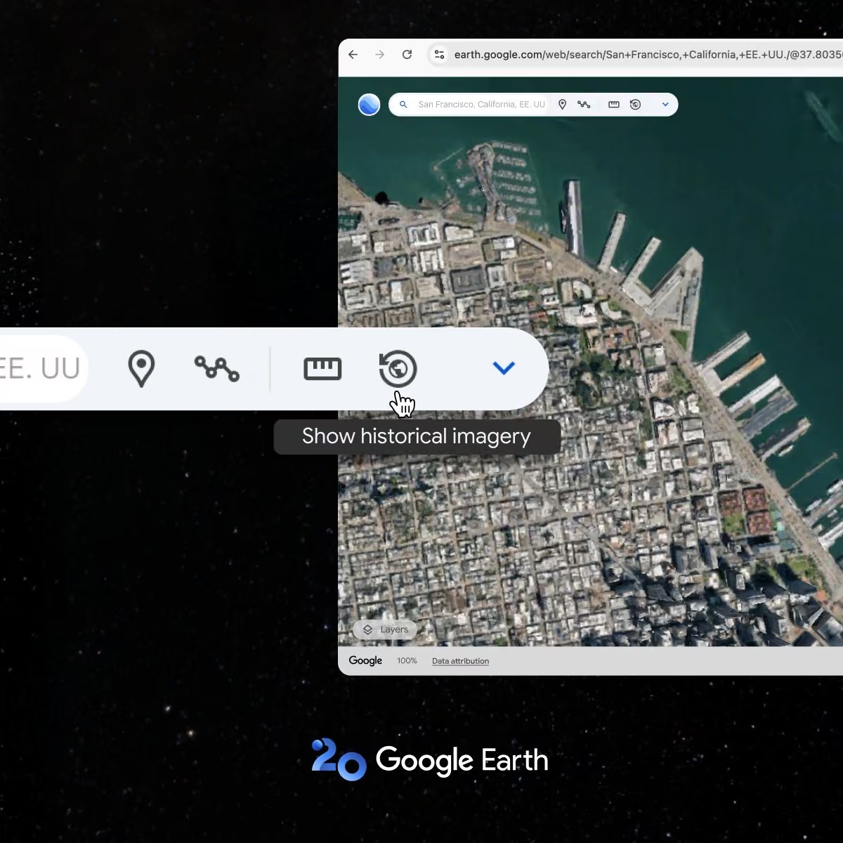
With Google Earth on the web, you get the all the satellite, aerial, and 3D imagery as in the desktop app, plus imagery you can't get on desktop. Read our full guide to imagery on the web: goo.gle/4iFGQ0X
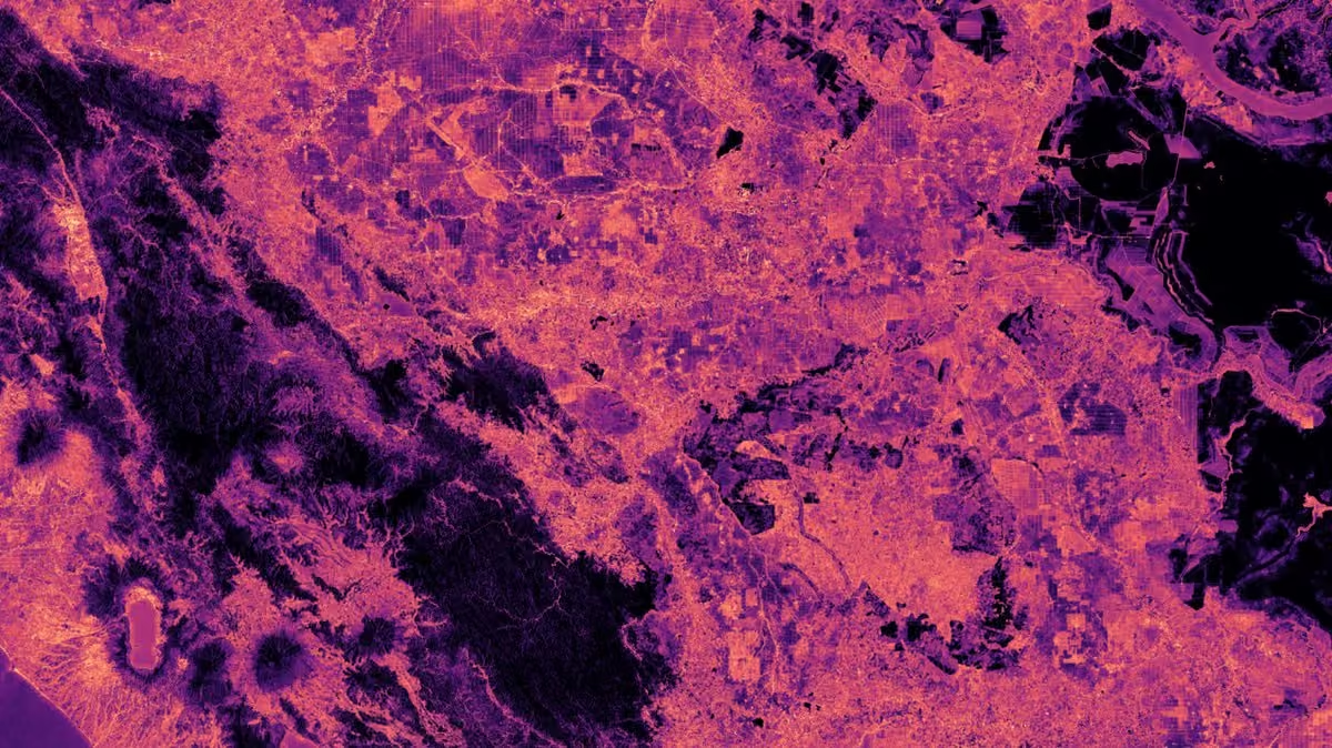
Product Manager John Scheeler walks through how to jump through time at ground level with historical Street View in more than 110 countries, request fresher coverage with the new 'Request imagery update' tool, and use detect change to see a heat map of where a site has changed between two years.




 Google Maps Platform


 Milos


 Nick Fox


 Bilawal Sidhu

 Paul B/ Barbs




 Google México
 FAO Forestry

 Justin Braaten


 Mayor Francis Suarez
 Urban Transitions Mission


 Qiusheng Wu


 Google for Health


 Abena B. Asare-Ansah🇬🇭🇺🇸🌎


 Rebecca Moore


 OpenET

 Chhatrapati Sambhajinagar City


 Google Cloud


 EOdatascience

 Restor


 PublicHealthMaps

 Brian Suk 🇰🇷🇺🇸 @briansuk.bsky.social

 USAID Chief Climate Officer Archived
 Ubilabs


 ARCHIVED - NASA Landsat

 Tyler Erickson
 Juan D.


 Climate Central
 UN Biodiversity








 Ironbark Sustainability



 Mayor Karen Bass

 Crystal Conway


 Group on Earth Observations
 Ladies of Landsat



 UNDP Live tweeting


 FAO Director-General QU Dongyu

 Bloomberg Live


 Google Business Profile
 SERVIR Global Collaborative


 Wendy Johansson


 Wildlife Insights
 TROPOMI

 Media4Math




 Kent Walker
 Keiko
 WWF Science


 Homa Sabet Tavangar




 Google Design
 donnie piercey ⚾

 American Rivers
 Bonnie McClelland


 John Bergin


 Carnegie Ecology


 Life at Google




 Global Partnership

 -- -- ---------
 Kath Nash


 Sabrina Szeto
 Tommy Sheridan
 🇧🇿 Belize GEO 🛰️


 Arctic Eider Society

 Floodbase


 CAL


 David Lagomasino


 Julius Anchang

 Peg Keiner


 Christina Herrick


 Datayo
 Abhishek V. Potnis


 Jessica Walsh


 Mission.org

 Mrs. Simmons
 Nat Geo Education

 HHMI BioInteractive
 Smithsonian Magazine

 The Ocean Agency

 UniversityOfVictoria

